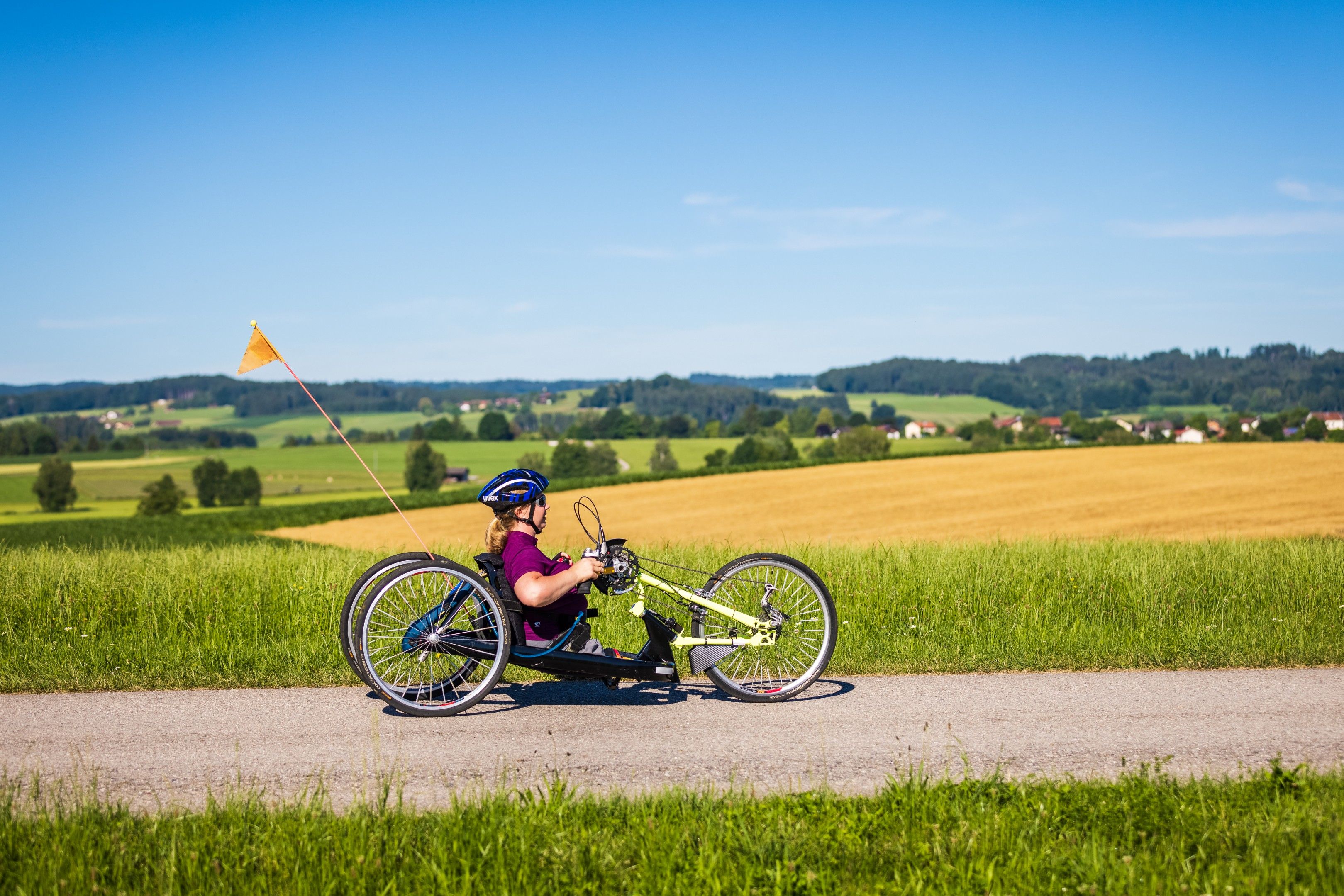
The landscape in the Rupertiwinkel was formed by the Ice Age glacial streams: the good paths go up and down, but never extreme. The reward is magnificent views!


The landscape in the Rupertiwinkel was formed by the Ice Age glacial streams: the good paths go up and down, but never extreme. The reward is magnificent views!
Tour description:
Fridolfing - Harmoning - Wilgering - Törring - Wiesmühl - Kay - Tittmoning - Nilling - Fridolfing
Note : Due to the length of the tour, a good level of fitness, e-support or bike support is recommended.
Direction of travel : clockwise
Ground : 80% asphalt, 20% solid sand or fine gravel
Incline : 3%-8%, 2 short climbs 7%-8%, descent: 3%-7%
Inclines : few, slight inclines on a good, solid forest path (approx. 1.5 km)
Start and finish: Fridolfing car park , next to the parish church of the Assumption of the Virgin Mary. It is the largest village church in Germany.
Start heading west on Simon-Spannbrucker-Straße. Cross Rupertistraße (!) . Pass the "Salzach Clinic" (not in the direction of the golf course!), follow the Törringstraße and the bike signs (2%-4% incline) . At Klebham , the Mother of God Grotto can be visited along the way. Then the round leads under the railway underpass in the direction of Gierling (approx. 150 m incline, 8%) . Before Harmoning, follow the bike signs to the left and at Langwied follow the district road (TS28) to the right. After 450 m cross the street to the left (!) , in the direction of Wilgering .
At the junction on the right, follow the bike signs in the direction of Tittmoning/Törring* . Then it goes through the tranquil town of Törring before the TS28 has to be passed again. Before Inzing near the hamlet of Herrneich, the tour branches off to the right. Follow the narrow street to the right, cross the railroad tracks (!) , keep left immediately and roll through Himmelreich on Bahnhofstrasse. At the end of Bahnhofstraße, turn right onto the cycle path next to the state road (St 2105). After a short stretch on the bike path , cross the district road (TS16) carefully (!) . Pass Ledern on the bike path along the St2105 and shortly thereafter cross the St. 2105 to the left (!) . Follow Pallinger Straße in the direction of Trostberg/Tyrlaching as far as the turnoff to the right in the direction of Tittmoning/Kay . After a flat start on asphalt, the path climbs gently for about 500 m, in between the gradient is about 7%-8% for about 25 m. (detour option see*)
Once you have arrived in the tranquil town of Kay, you will be rewarded with a magnificent view of the Chiemgau Alps. After crossing the village, the district road St2105 is crossed again (!) . Follow Gartenstrasse to the junction with Kirchheimer Strasse and continue to the right, gently rolling downhill. After almost two kilometers turn left in the direction of Tittmoning onto a tranquil, good forest path with a few, slight inclines . Below the Tittmoninger Castle, roll down the Zwieselweg to the town of Tittmoning . Follow Traunsteiner Straße for about 100 m and then cross carefully to the left (!) to get to Adolf-Kolping-Platz . Follow Schulstraße and after a few meters turn right into Schulstraße. Then turn left and follow Entenstraße to Stiftsgasse. Turn right there and roll down onto the beautiful historic town square . Here you can take a break in one of the cafes or restaurants.
After crossing the town square (!), turn right along the town hall into Rathausgasse. Behind the town hall, turn left and in a slight right turn on fine gravel down to the Wasservorstadt car park. Keep right, follow the road at the end of the parking lot and bear left further south-east. After the sports field, turn right on a rural asphalt road and follow the bike signs in the direction of Fridolfing . Past tranquil hamlets to Nilling . Turn left here and after approx. 400 m turn right and follow the handbike tour logo in the direction of Fridolfing to the B 20. On the narrow road left of the B 20, roll to the underpass. Here you turn right into Fridolfing . Follow the bike signs along Laufener Strasse to Hadrianstrasse, the destination is the church tower, and return to the car park.
The tour is signposted throughout. If in doubt, follow the bike signs and the "Water Adventure Tour"tour logo .
On the alternative route south of Tittmoning to the Fridolfing bathing lake: follow the handbike logo "Water Adventure Tour".
Wheelchair toilets: Fridolfing, next to the car park, by the cemetery wall
In Fridolfing and Tittmoning you can relax in cozy inns .
A highlight after the tour: Fridolfing bathing lake with kiosk, wheelchair toilet and bathing ramp
*A small, worthwhile addition: at the junction in the direction of Tittmoning/Törring, drive straight ahead a short distance to the St. Coloman church and enjoy the most beautiful view of Lake Taching!
*Kay bypass option (not signposted): At the turn-off to Kay, continue straight ahead on Pallinger Strasse and in a wide arc on the road with little traffic, moderately uphill (max. 5%), around 2.1 km around Kay. Right into the village center. Here again follow the bike signs (see above).
A8 Munich - Salzburg - Traunstein - Waging - Tettenhausen - Kirchanschöring - Fridolfing
Start/finish: Fridolfing, parking lot at the parish church, Simon-Spannbrucker-Straße

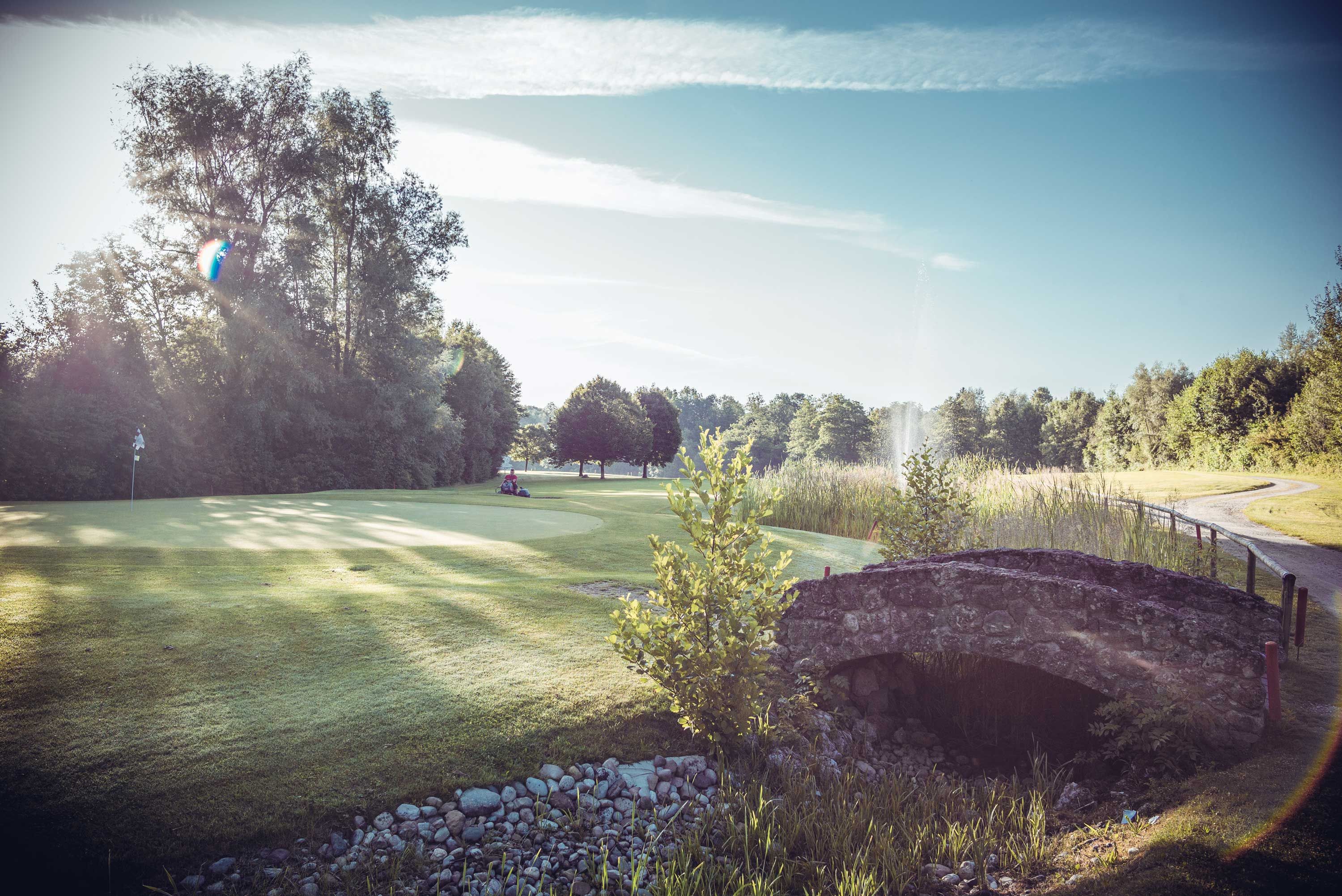
Golfing and enjoying nature – that automatically goes hand in hand at the Anthal Golf Club. The perfectly modeled hilly terrain blends so seamlessly…
Learn more
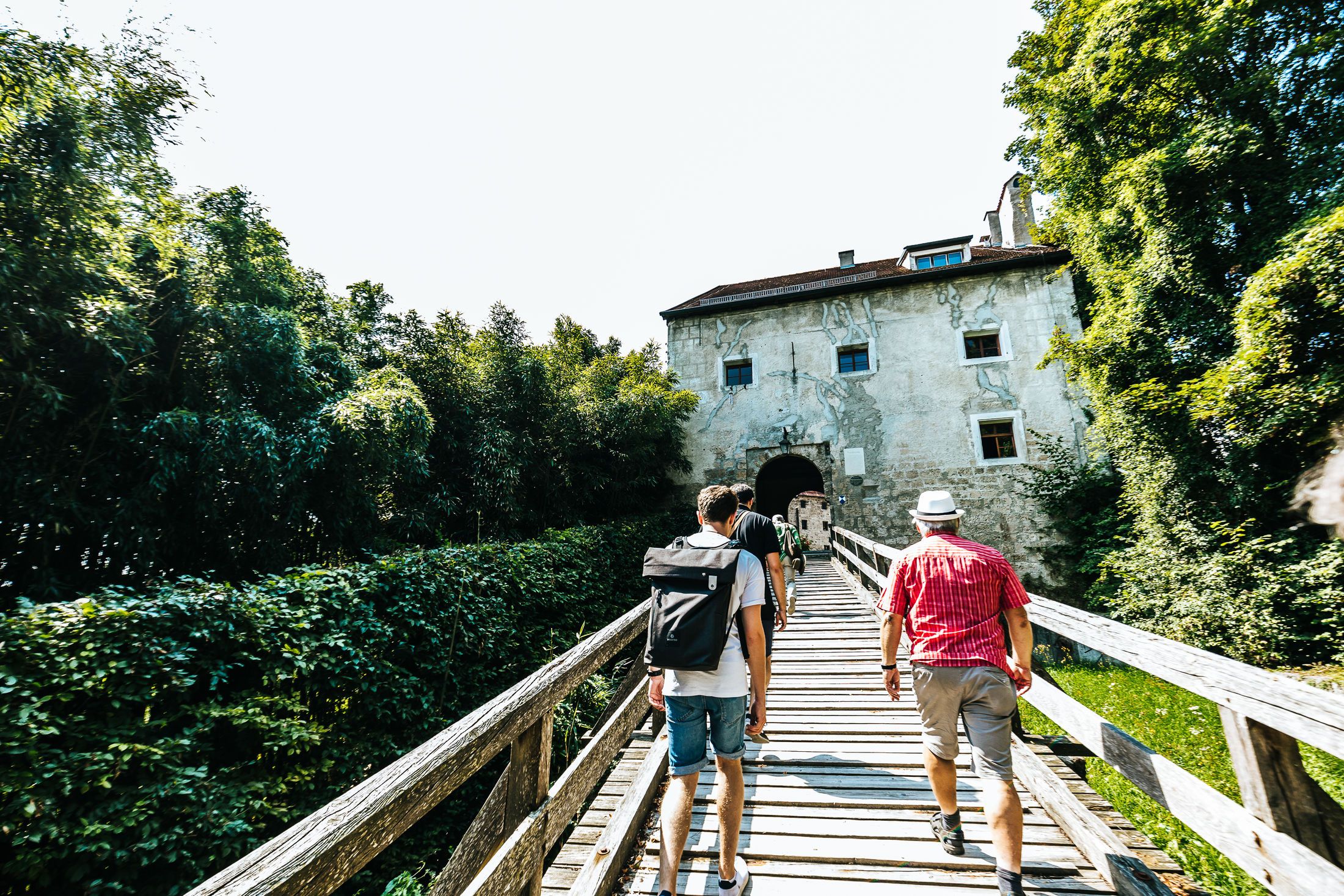
Tittmoning Castle, which towers high above the old town, can be seen from afar. Here you can find local finds and handicrafts...
Learn more