A leisurely three-lake hike on wide forest roads, along streams and lakes and through shady mixed forest.


A leisurely three-lake hike on wide forest roads, along streams and lakes and through shady mixed forest.
Tour description:
Max Aicher Arena ice rink - Zwingsee - Falkensee - Krottensee - Hausmann district - Bichlstraße - Max Aicher Arena ice rink
Tip : This hike can also be reached by bus. Which line, which stop, which way to go? This is after the description. All public transport tips have been tested by our team.
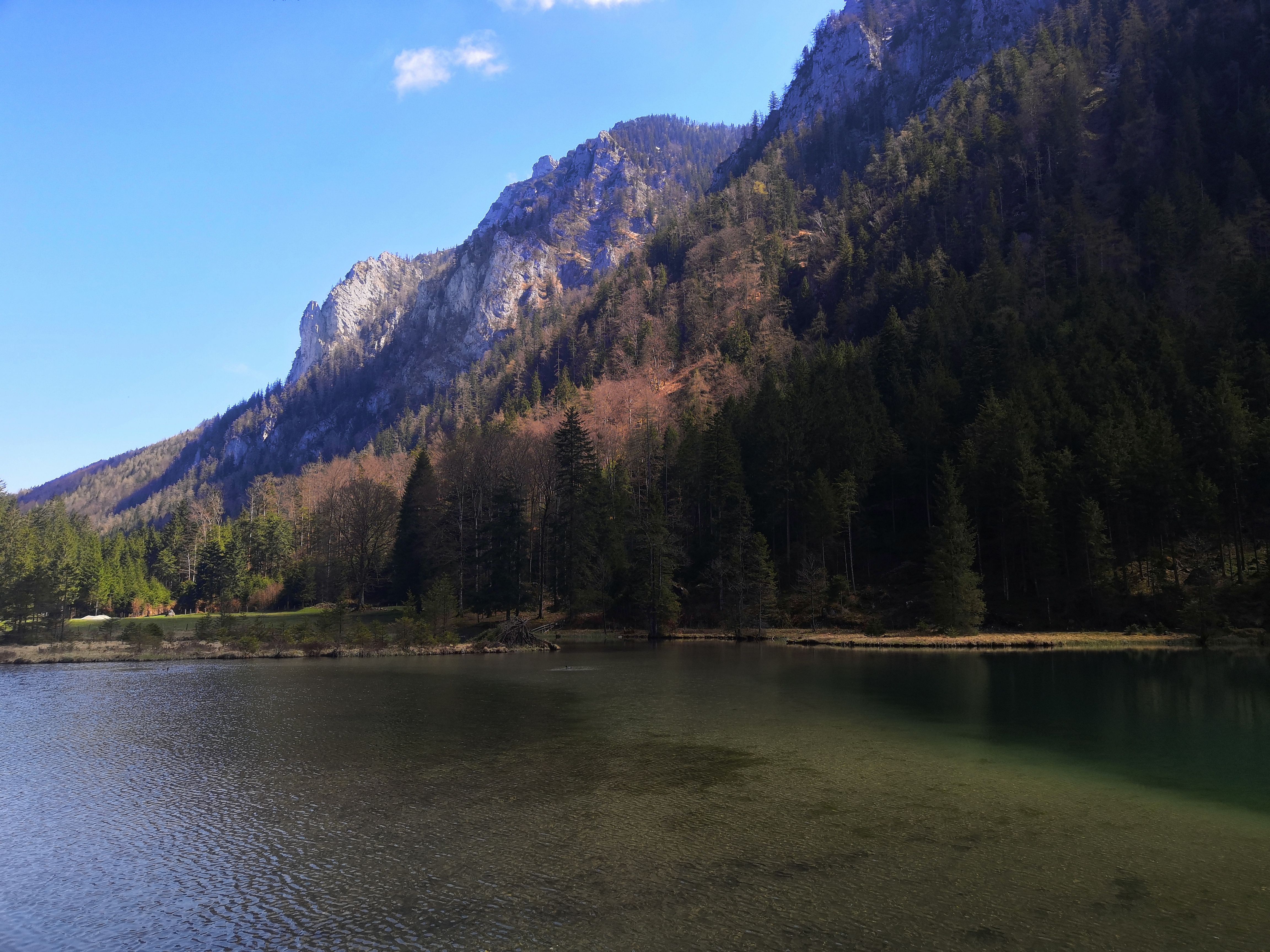
It starts at the Max Aicher Arena ice rink with its striking architecture, slightly uphill towards Zwingsee . Then it's about two kilometers through the rustic and untouched nature to the second lake of the circuit, the Falkensee . Embedded in the Chiemgau Alps, the Falkensee is the perfect place to take a little break and enjoy the surrounding silence.
After the Falkenseebach it goes to the Kneipp facilities. From here back to the starting point or turn left towards Krottensee . From the Kneipp facilities, the path leads through the districts of Hausmann and Bichl. Shortly before the district of Bichl, a field path branches off to the left and leads back to the ice rink.
Without a car to the Max Aicher Arena
How to get there : Line 9526 from Traunstein train station to Bad Reichenhall
Exit : Zwingsee/Eisstadion stop
Directions to the tour : Cross the street and turn left after about 20 m to the Max Aicher Arena.
Travel time : approx. 40 minutes by bus + 5 minutes on foot