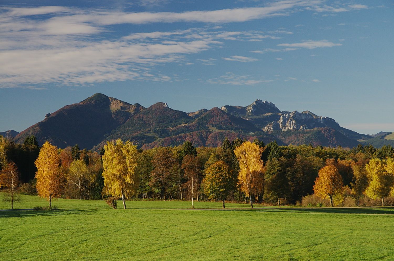
This tour leads through a landscape with no particular sights, but it is very varied and always surprises with a wonderful mountain panorama.


This tour leads through a landscape with no particular sights, but it is very varied and always surprises with a wonderful mountain panorama.
Tour description:
Between the autobahn and Osterbuchberg, a large number of former wetlands spread out after the extensive Bergener Moos, which were converted into fodder meadows by draining, as indicated by the many water-bearing ditches that accompany us on this hike. The Aitrach is a lively brook that meanders through forests and meadows from Bernhaupten before it flows into the Rothgraben and from there flows into the Chiemsee.