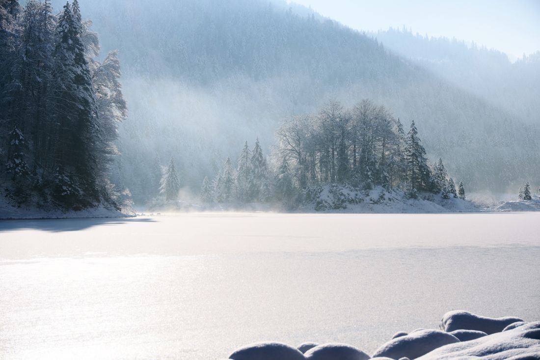
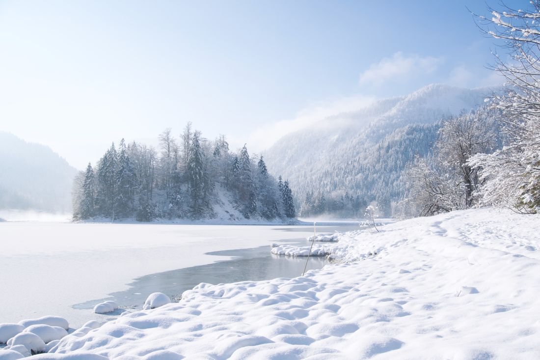
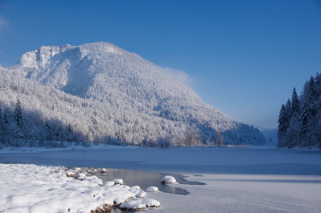
Leisurely and easy hike in a special place.

Lake Weitsee winter hiking | 4.2 km
Winter hiking- Condition Open / groomed
- Starting point Seegatterl
- Location Reit im Winkl
- distance 4.5 kilometres
- duration 01:10 hours
- maximum altitude 791 meters
- minimum altitude 753 meters
- altitude difference 43 ascending
- altitude difference 43 descending
Tour description:
Starting point Seegatterl
From the starting point of the Seegatterl car park (use the shuttle bus from Reit im Winkl, otherwise parking fees will be charged) head in easterly direction where this beautiful and idyllic hiking trail to the three-lake area starts. The Seegatterl district is at 770 m above sea level, so the winter hiking trail is very snow-sure.
Refreshment stops: Seegatterlalm, Sachenbacheralm
Recommended months for this tour
- January
- February
- March
- April
- May
- June
- July
- August
- September
- October
- November
- December
Downloads
- Tour as a PDF file (PDF)
- Tour as a KML file (KML)
- Tour as a GPX file (GPX)
Responsible for the content: Tourist Info Reit im Winkl
Arrival by car
From Munich or Salzburg on the federal motorway Munich - Salzburg (A8 to Grabenstätt exit no. 109), continue towards Marquartstein and on the well-developed German Alpine Road (B305) to Reit im Winkl. At the entrance to the town (Entfelden) in the direction of Ruhpolding, approx. 5 km to the Seegatterl district.
Parking:-Seegatterl, 83242 Reit im Winkl.
From Munich or Innsbruck on the federal autobahn Rosenheim - Innsbruck (A93) to Oberaudorf (exit no. 59). Continue to Walchsee, Kössen and Reit im Winkl. At the entrance to the village in the direction of Ruhpolding approx. 5 km to the district of Seegatterl.
Parking: -Seegatterl 83242 Reit im Winkl.
Arrival by public transport
Connections to Reit im Winkl from Prien am Chiemsee train station (best bus connection!!) With the RVO bus line 9505 to Tourist - Info, then change to line 9506 Seegatterl/ Rupholding/ Inzell. All timetables: www.reitimwinkl.de . Seegatterl stop.
Connections to Reit im Winkl from Ruhpolding train station with the RVO line 9506. Stop: Seegatterl.


