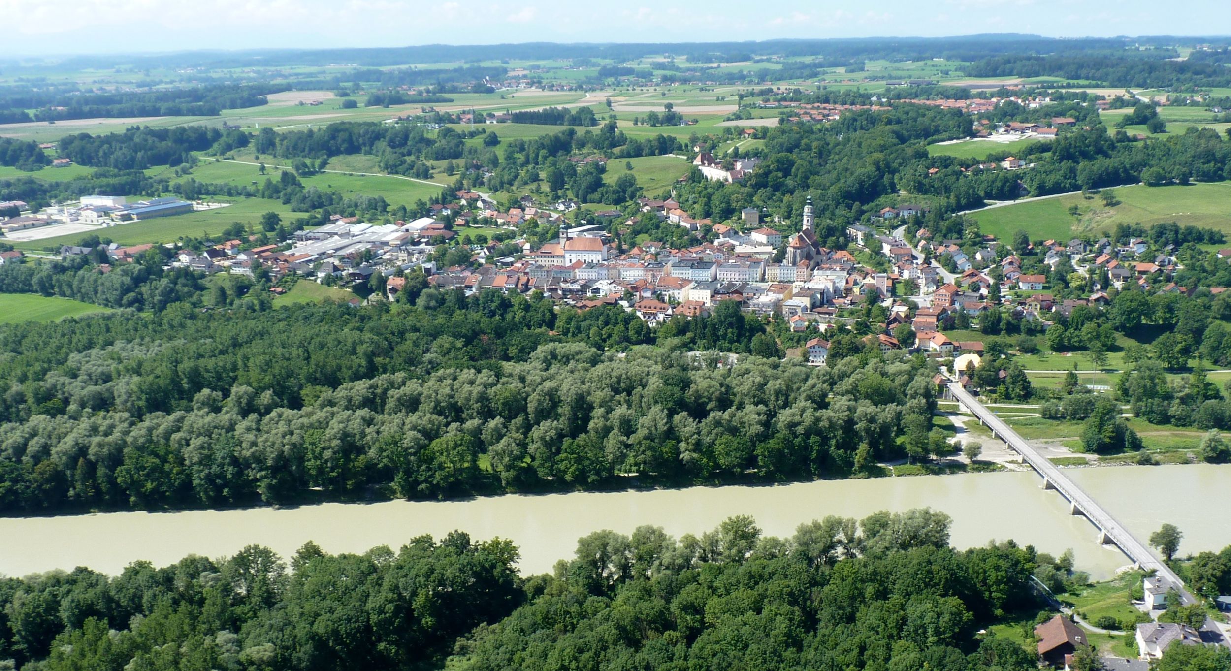
Fun circular hiking trail with lots of information about the local flora and fauna. 00:35 h. Tittmoning.

Auenlehrpfad
hiking tour- Starting point Wasservorstadt bus parking lot
- Location Tittmoning
- distance 2.4 kilometres
- duration 00:00 hours
- maximum altitude 382 meters
- minimum altitude 370 meters
- altitude difference 0 ascending
- altitude difference 0 descending
easy
difficulty
Tour description:
From the parking lot in Wasservorstadt follow the signs, which lead to the wooden bridge over the Siechenbach and point to the left before the dam.
Now you go into the floodplain forest , where the start of the nature trail and therefore the first stop is.
The well-signposted path provides interesting information about the animals and plants that live in this landscape.
Recommended months for this tour
- January
- February
- March
- April
- May
- June
- July
- August
- September
- October
- November
- December
Downloads
- Tour as a PDF file (PDF)
- Tour as a KML file (KML)
- Tour as a GPX file (GPX)