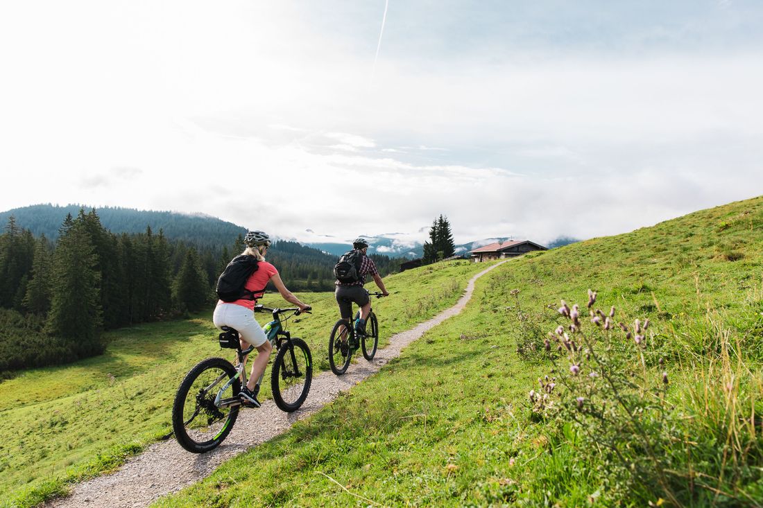
A combined demanding tour for bikers and hikers with a great panorama.
Bike and Hike to Dürrnbachhorn
tour- Starting point Tourist Info
- Location Reit im Winkl
- distance 29.5 kilometres
- duration 04:00 hours
- maximum altitude 1756 meters
- minimum altitude 671 meters
- altitude difference 1173 ascending
- altitude difference 1173 descending
Tour description:
Starting point: Tourist Info Reit im Winkl
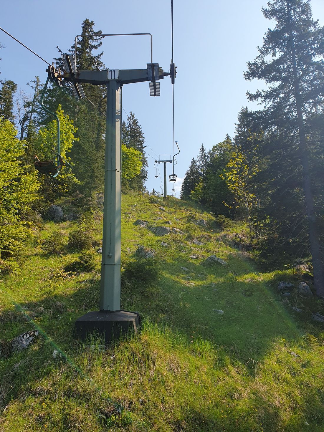
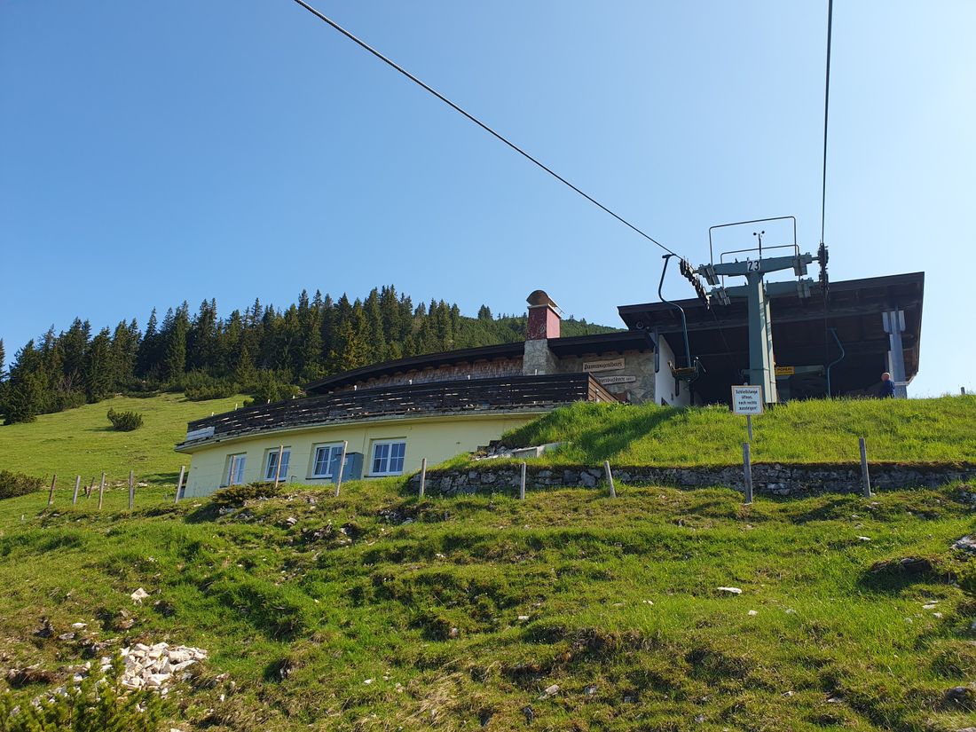
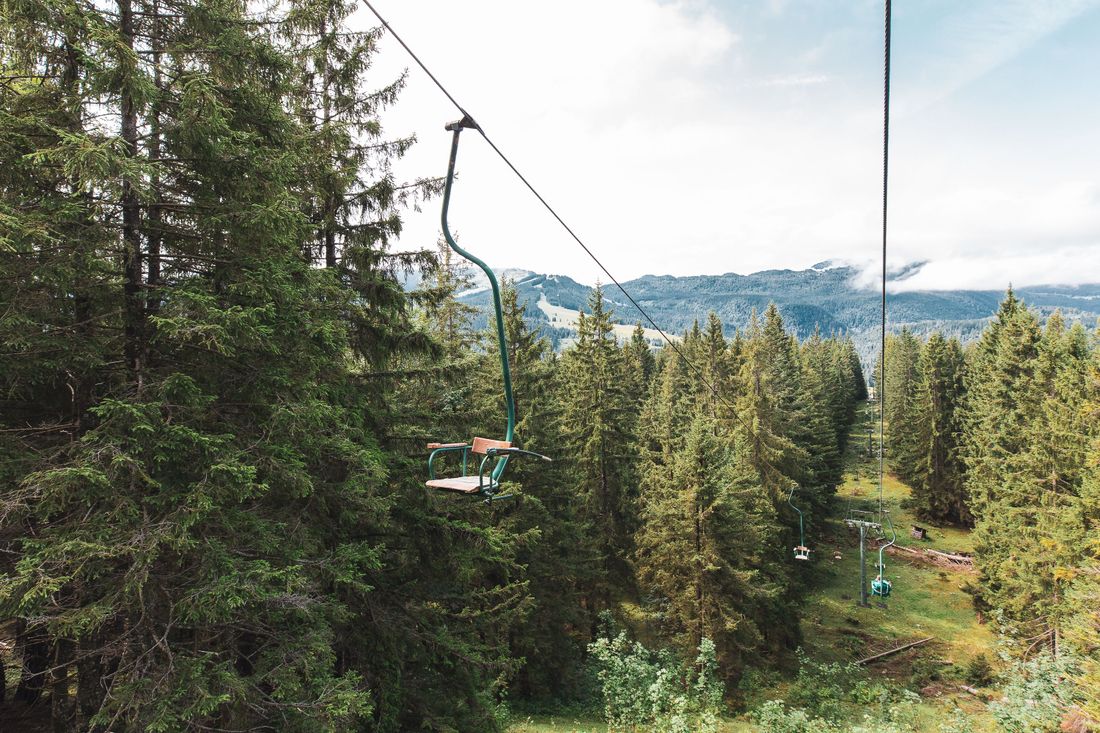
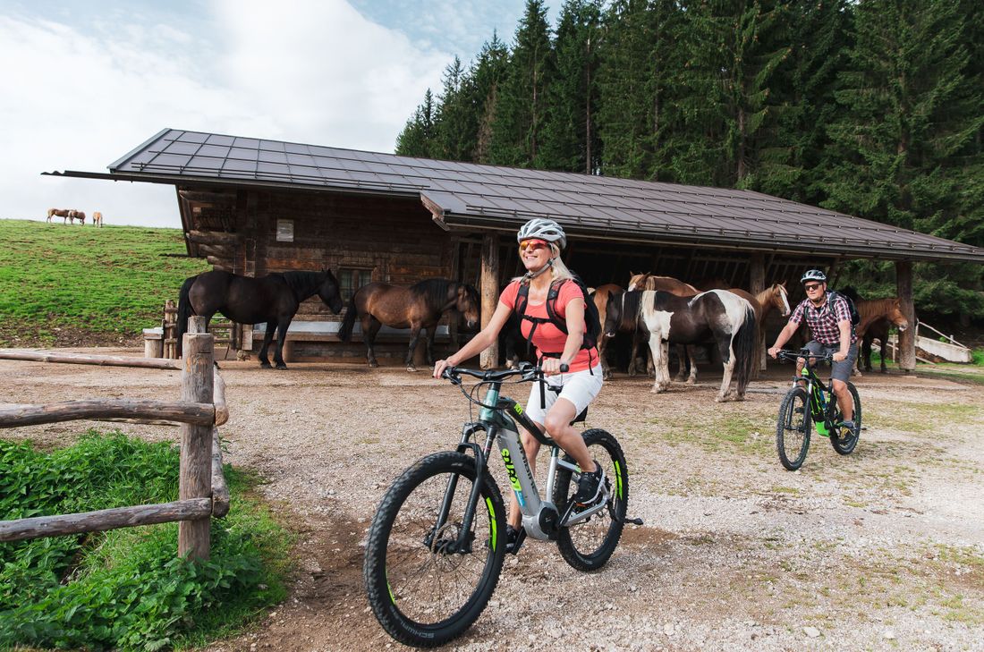
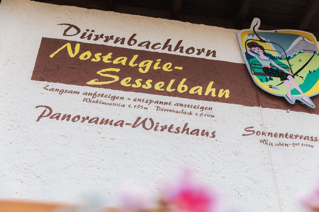
From the starting point we start in the district of Entfelden, drive past lush meadows and the Marienkapelle , follow the main road to the right in the direction of Seegatterl . At the end of the connecting road, which we cross, we keep right for a moment, then left directly into the commercial area and finally after the Lofer bridge onto the cycle path. Next to the cool Schwarzlofer we cycle very comfortably to Seegatterl, where we cross the large car park and finally reach the Schwarzlofer forest road (ski run in winter). Here, next to the ditch of the same name, we continue uphill, after a good distance past the valley station of the Zigeunerlift to the Rossalm, where we are greeted by horses. We keep right and left again in the direction of the parking lot at the church of St. Johann im Gebirg , leaving the road that leads to the Dürnnbachhorn valley station. Once there, we use the nostalgia chairlift and arrive comfortably and rested at the mountain station at 1607 m.
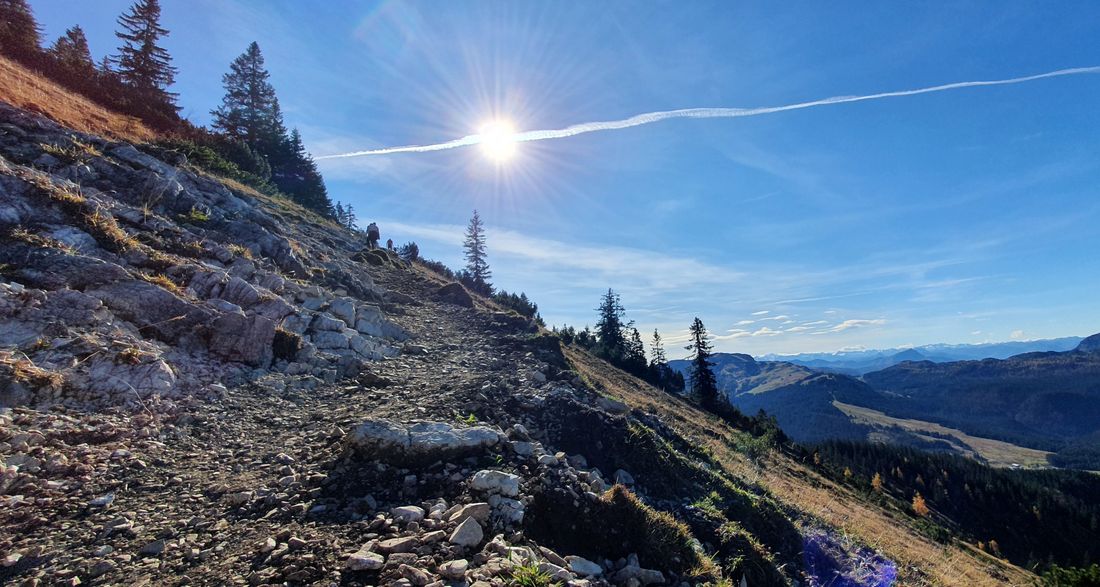
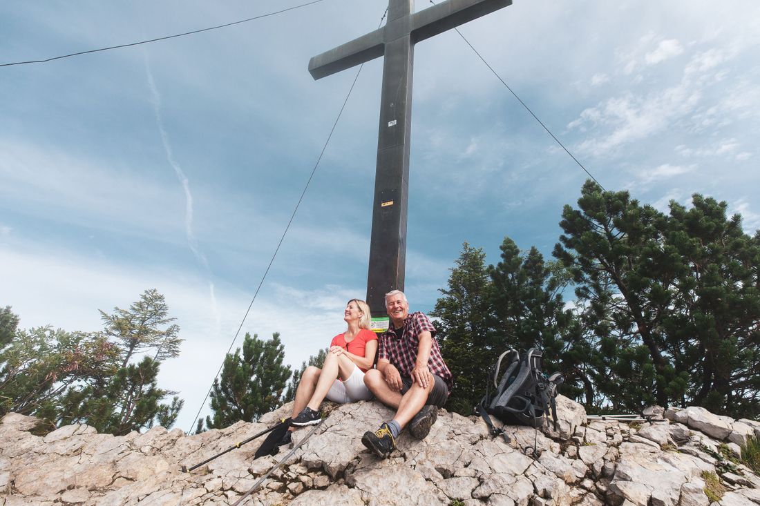
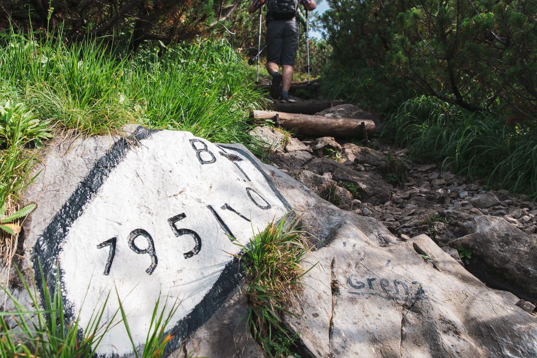
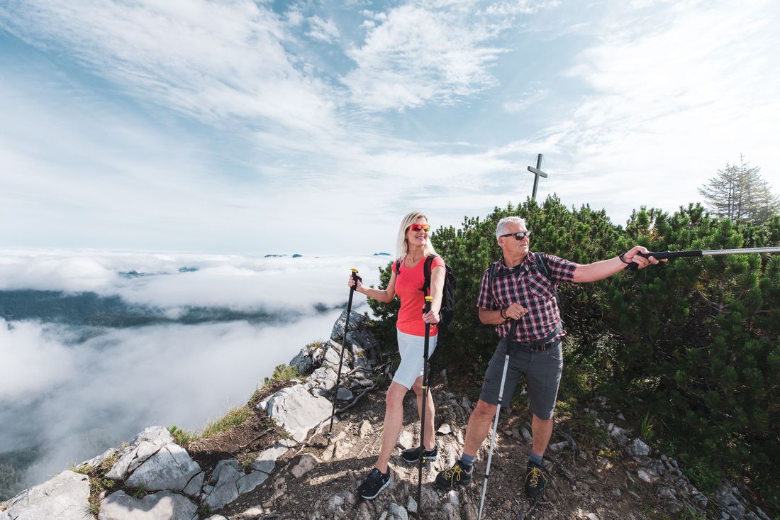
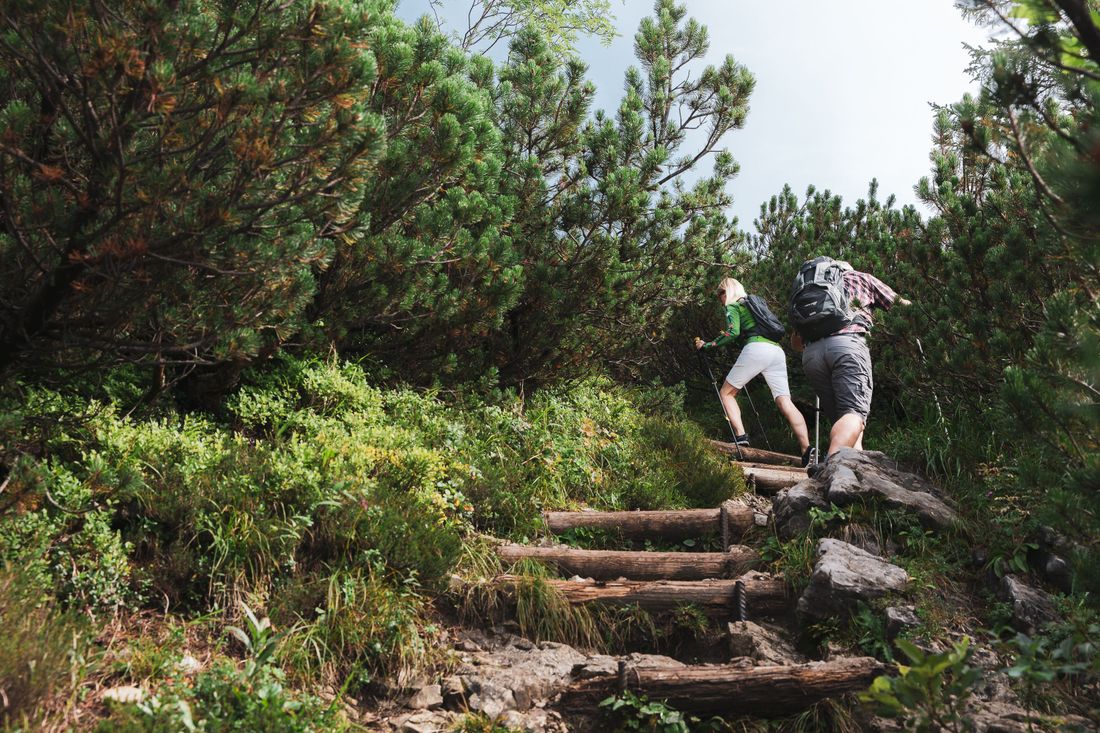
From here, a narrow path between the mountain pines leads up to the summit cross of the Dürnnbachhorn (1775 m).
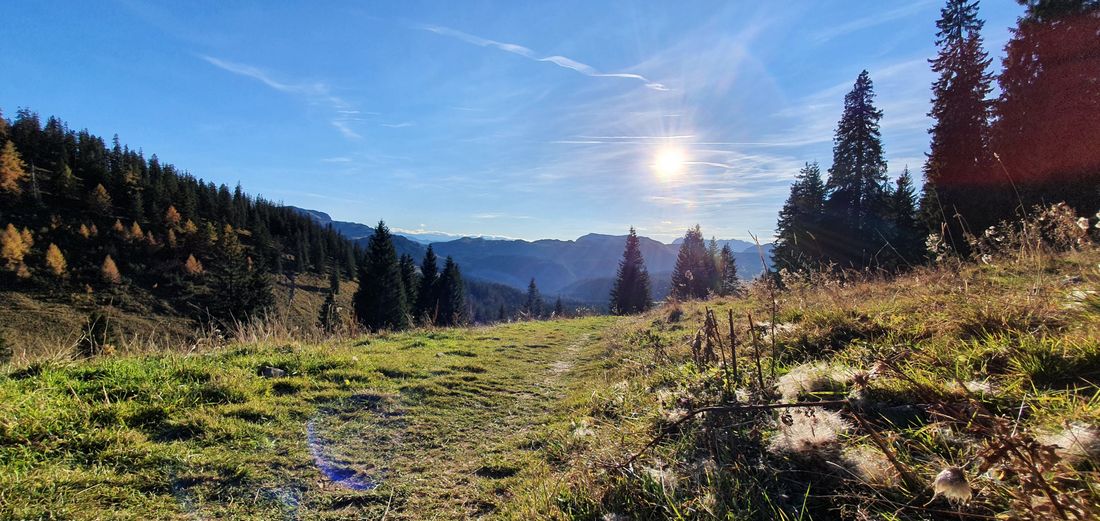
We are rewarded with an unforgettable panorama of the surrounding mountains. In ideal weather, the view extends to the Zugspitze. The Weitsee lies embedded in its valley.
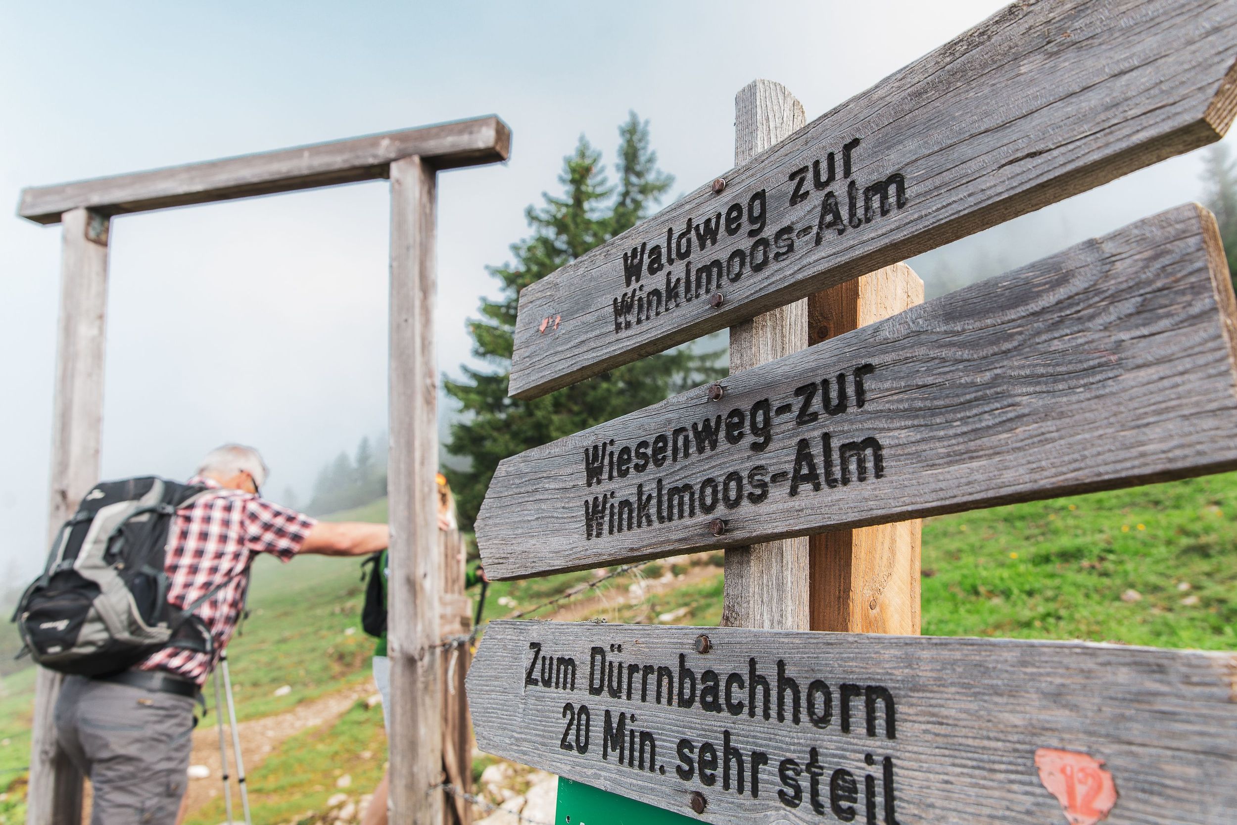
The way back is the same to the mountain station and then it goes over the meadow path in the direction of Dürrnbachalmen to the Winklmoosalm . (Caution, danger of slipping when wet). The train would be another way to get to the valley.
If you want to extend your hike , are sure-footed, have a head for heights, and have sturdy shoes, you can follow the ridge from the summit in an easterly direction on the narrow path to the Finsterbach/Heuthal junction, another steep descent to the Heutallift lift station. To the west in the steep forest area, descent to the Finsterbachalm. After the Alm on an easy forest path back to the valley station of the railway.
Continuing with the bikes on the road in the direction of the parking lot (on the left the Maria Himmelfahrt chapel), we turn right at the Bundeswehrhütte and follow the path to Seegatterl and back to Reit im Winkl to the starting point.
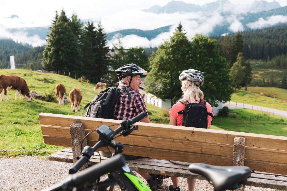
Refreshments : restaurants on the Winklmoos - Alm, mountain station of the railway, Finsterbachalm
Recommended months for this tour
- January
- February
- March
- April
- May
- June
- July
- August
- September
- October
- November
- December
Tips for this tour
Bring some time to walk the tightrope. However, sure-footedness, a head for heights and good shoes are required.
Downloads
- Tour as a PDF file (PDF)
- Tour as a GPX file (GPX)
- Tour as a KML file (KML)
Arrival by car
From Munich or Salzburg on the federal motorway Munich - Salzburg (A8 to Grabenstätt exit no. 109), continue towards Marquartstein and on the well-developed German Alpine Road (B 305) to Reit im Winkl. Parking:- Dorfstr. 38 at the Tourist Info, 83242 Reit im Winkl,-Tiroler Strasse 37 at the Festsaal, 83242 Reit im Winkl. From Munich or Innsbruck on the federal autobahn Rosenheim - Innsbruck (A93) to Oberaudorf (exit no. 59). Continue to Walchsee, Kössen and Reit im Winkl. Parking:-Tiroler Strasse 37 at the ballroom, 83242 Reit im Winkl,-Tourist Info Dorfstrasse 38, 83242 Reit im Winkl.
Arrival by public transport
Connections to Reit im Winkl from Prien am Chiemsee train station (best bus connection!). With the RVO bus, line 9505. Bus stop directly at the tourist information. All timetables: www.reitimwinkl.de . Connections to Reit im Winkl from the Ruhpolding train station with the RVO - line 9506. Bus stop directly at the tourist information.
