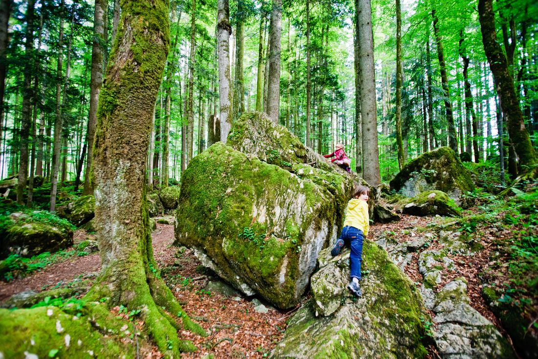
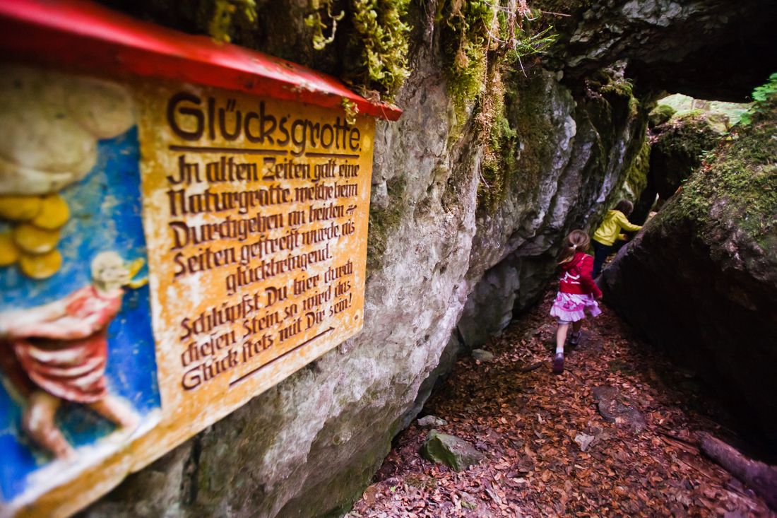
Beautiful family hike (fairytale forest + amusement park along the way)
Brander Tal
hiking tour- Starting point Staudigel Hut
- Location Ruhpolding
- distance 7.5 kilometres
- duration 02:20 hours
- maximum altitude 762 meters
- minimum altitude 669 meters
- altitude difference 200 ascending
- altitude difference 200 descending
Tour description:
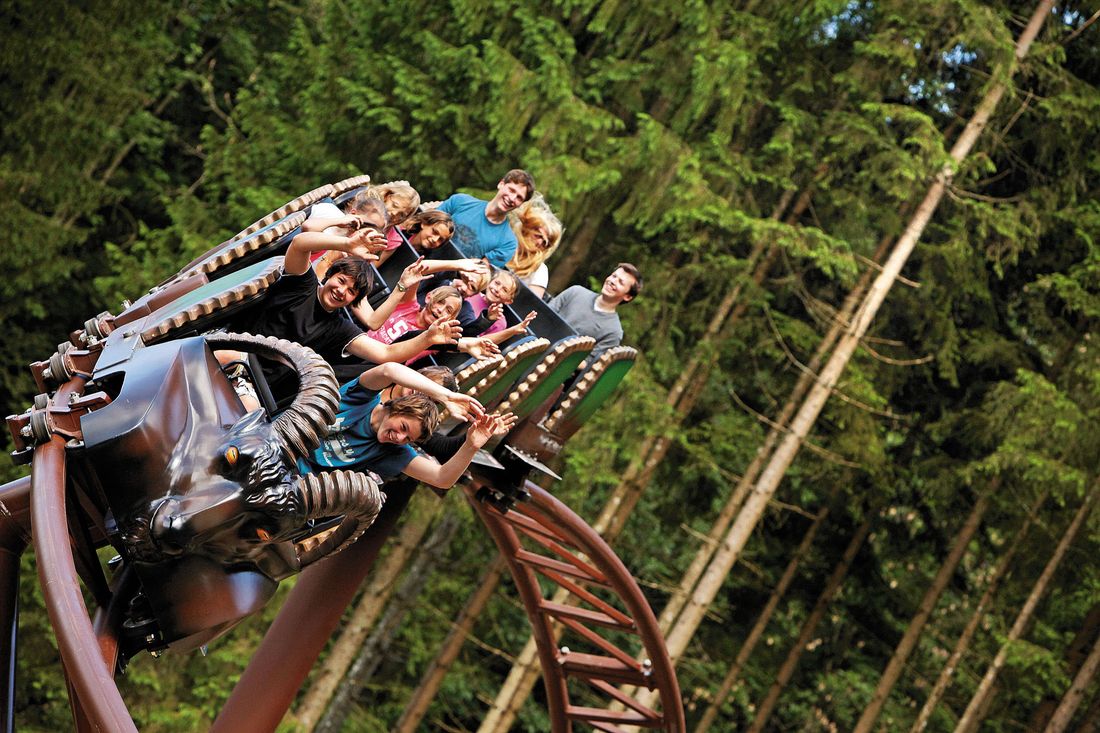
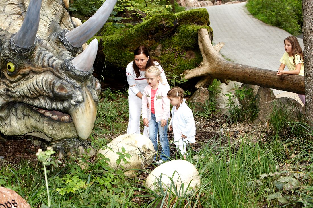
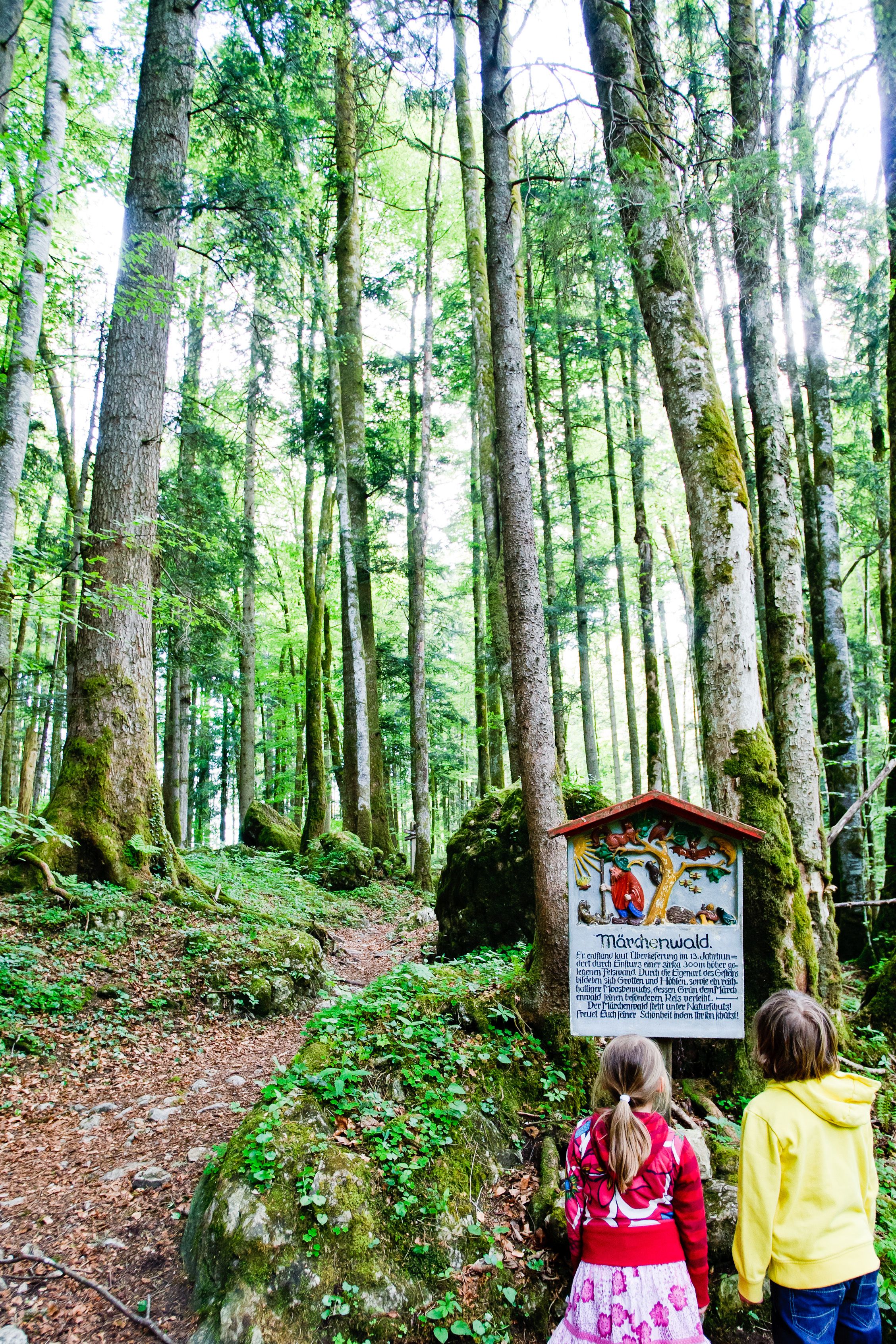
Way: From the Staudigelhütte on a wide meadow path (no. 50) to the bridge - here over the Urschlauer Ache and the Branderstraße - half left follow the path (no. 41) to the adventure park - continue to Bärngschwendt (path no. 41) - over down the district of Guglberg to the Brandstätterbrücke - after the bridge turn left and follow the path (no. 50) to Maiergschwendt - cross the Maiergschwendterstraße and past the marble quarry (path no. 50) back to the starting point Staudigelhütte. Special features: Ruhpolding amusement park on the way Refreshments: Gasthof Butzenwirt / Brand, Bärnstubn / Bärngschwendt, Landhotel Maiergschwendt Tip: behind the small hamlet of Brand is the mystical fairytale forest - a short detour is worth it!
Recommended months for this tour
- January
- February
- March
- April
- May
- June
- July
- August
- September
- October
- November
- December
Downloads
- Tour as a PDF file (PDF)
- Tour as a GPX file (GPX)
- Tour as a KML file (KML)
Responsible for the content: Ruhpolding Tourismus KU
Huts along the tour
