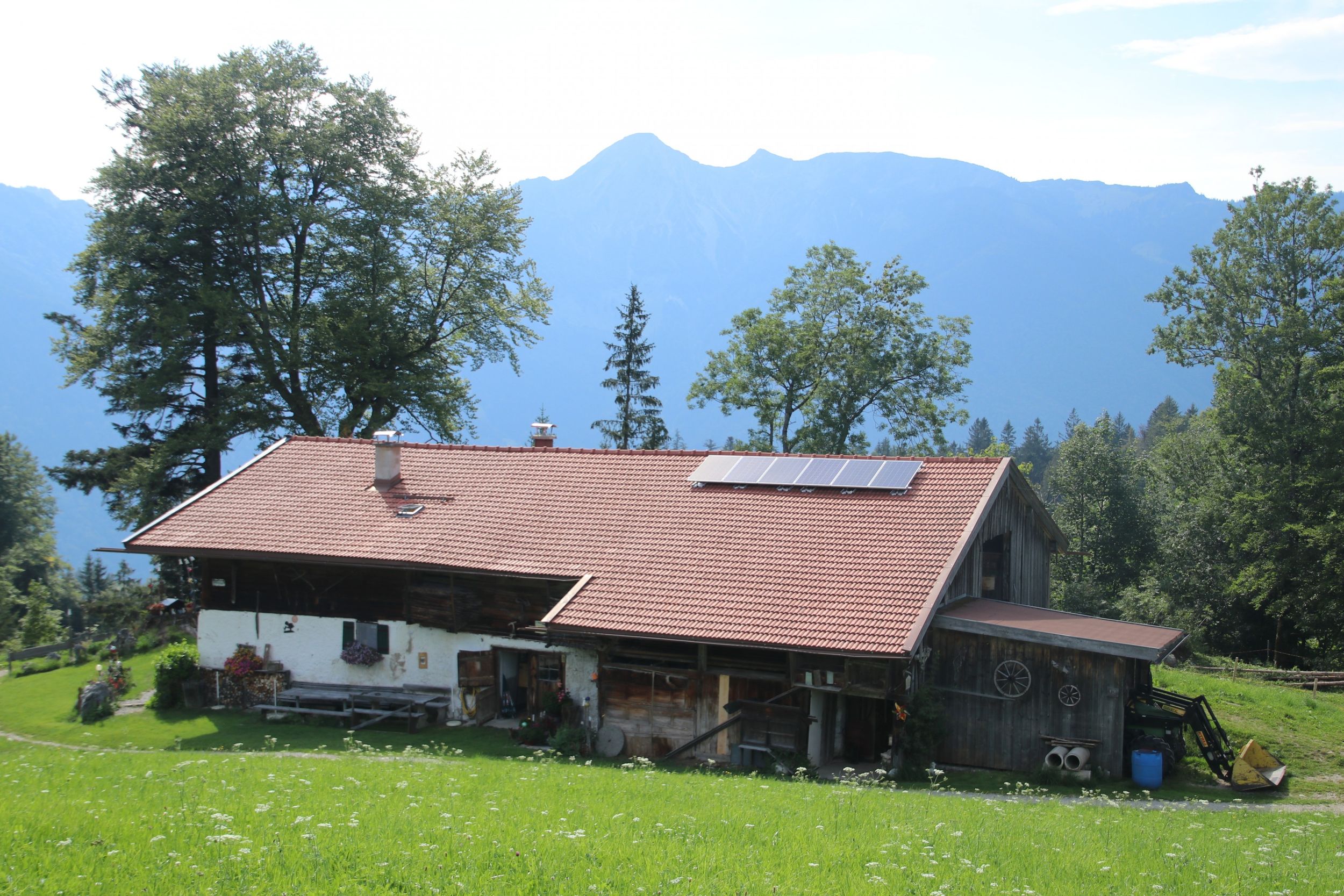
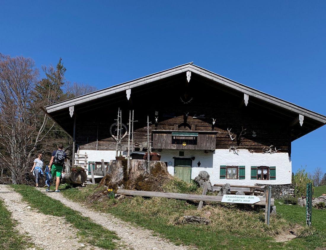
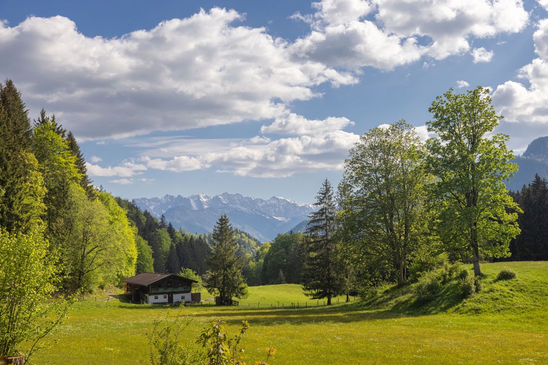
Easy MTB tour around the Balsberg with refreshment stops at the Chiemhauser Alm.

MTB 37 Balsberg Runde
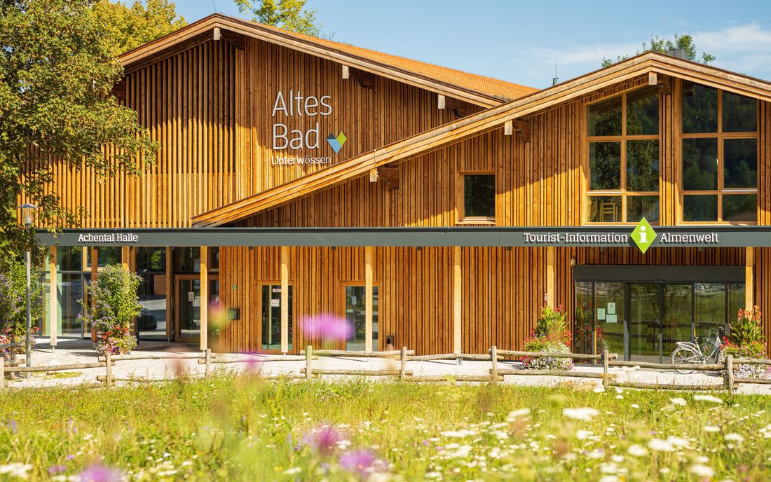
tour- Starting point Tourist information Unterwössen
- Location Unterwössen
- distance 22.3 kilometres
- duration 02:15 hours
- maximum altitude 1075 meters
- minimum altitude 552 meters
- altitude difference 662 ascending
- altitude difference 662 descending
Tour description:
The starting point is the Achental Tourist Information in the Altes Bad in Unterwössen (alternative: Balsberg parking lot). Drive through the town and past the Schützenheim onto the cycle path and turn left towards Kruchenhausen. Then follow the cycle path next to the B305 to the center of Oberwössen. Turn right onto Taubensteinstrasse towards Hinterwössen. Cross the district and follow the forest road to the first intersection. Turn right and follow the wide forest road (never turn!). Pass the Chiemhauser Alm on the right and go slightly downhill to the Achberg car park. Through Achberg and past the Unterwössen glider airfield to the starting point. Attention: The Achberg - Unterwössen road is currently closed. Alternatively, you can drive along the Ache via Schleching. Refreshments: Chiemhauser Alm. Bike and Swim: Swimming opportunity at Lake Wössner (short detour at the end of the tour in Unterwössen)
Recommended months for this tour
- January
- February
- March
- April
- May
- June
- July
- August
- September
- October
- November
- December
Downloads
- Tour as a PDF file (PDF)
- Tour as a KML file (KML)
- Tour as a GPX file (GPX)
Responsible for the content: Achental Tourismus gKU


