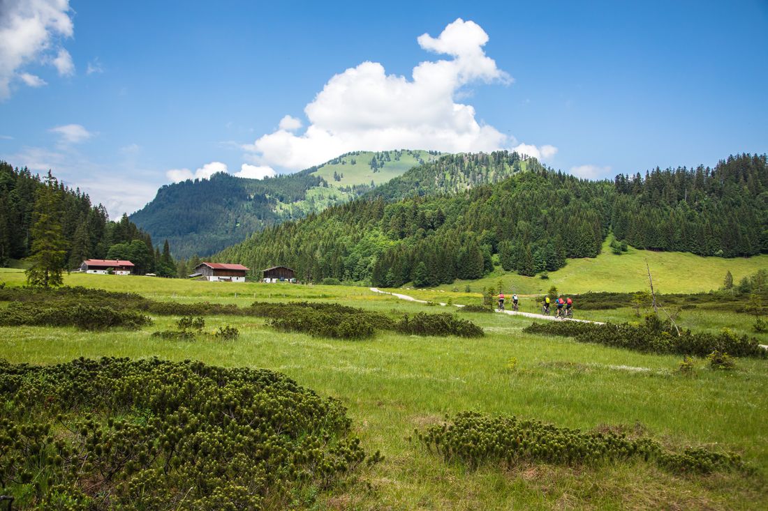
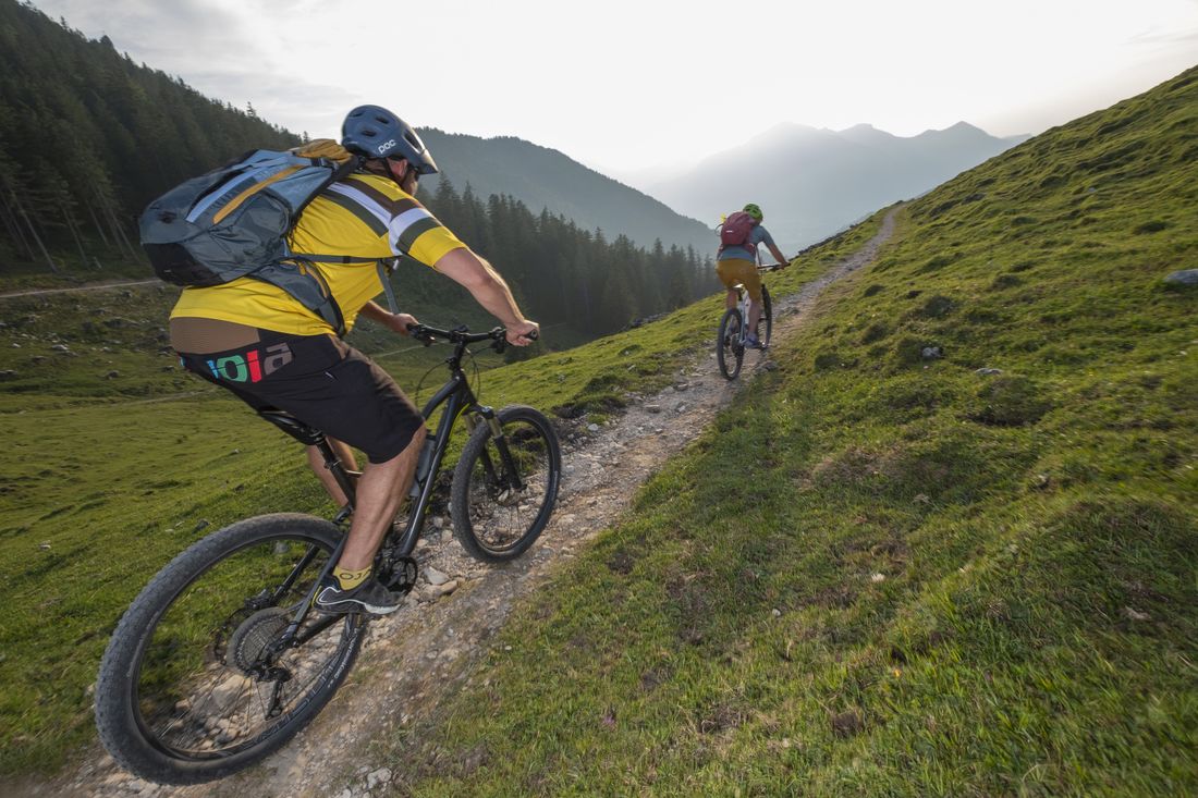
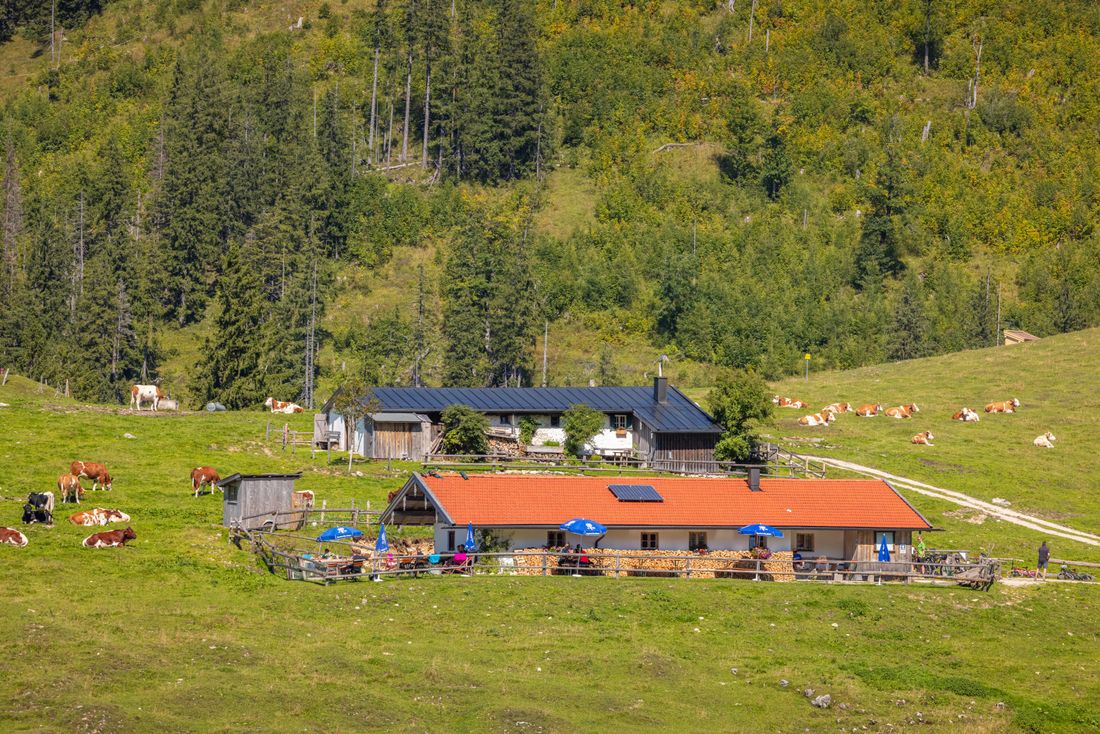
Challenging tour with a steep pass and a beautiful passage through the beautiful Röthelmoos and a stop at the Jochbergalmen.
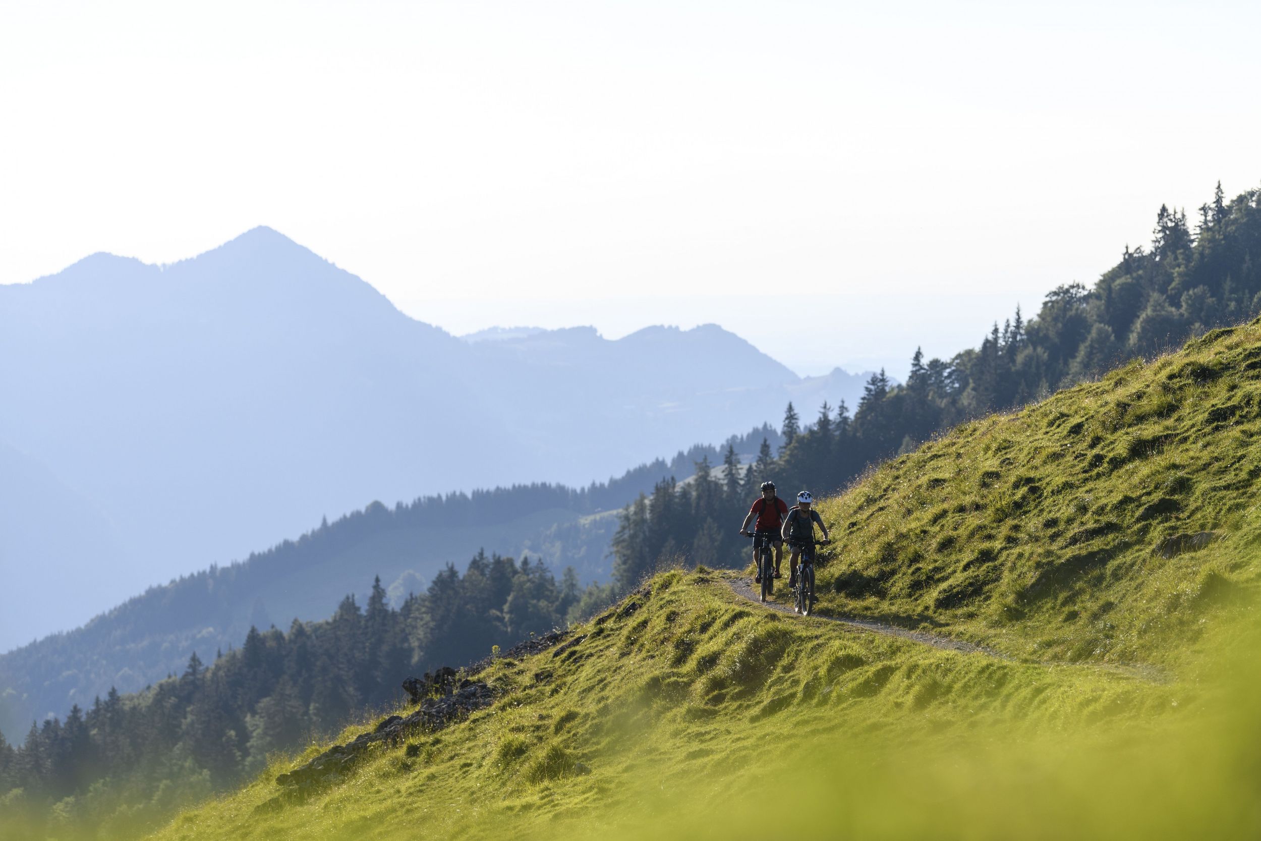
MTB 38 Röthelmoos-Jochbergalm Runde
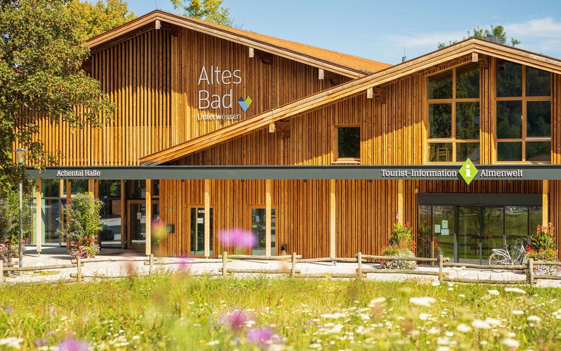
tour- Starting point Tourist information Unterwössen
- Location Unterwössen
- distance 26.6 kilometres
- duration 03:30 hours
- maximum altitude 1260 meters
- minimum altitude 556 meters
- altitude difference 1010 ascending
- altitude difference 1010 descending
Tour description:
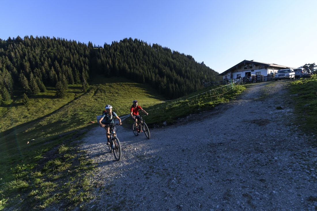
From the Achental Tourist Information in the Altes Bad in Unterwössen via Hochgernweg to the first intersection, then turn right onto Kaltenbachweg. Follow the cycle path next to the B305 until you turn left towards the Hammerergraben car park. Leave the parking lot on the left, go up the forest road and at the fork in the road keep right towards Röthelmoos. Follow the signs to the junction at the beginning of the Kanonenpass, shortly after the Weiderost, at 1100 m, turn right here, follow signs 38 for the Seniors Pass, (attention - straight ahead is the Kanonenpass - very steep forest road!) then follow the forest road downhill to the Röthelmoosalmen and turn left at the bottom. At the large intersection you can stop off at the Langerbauer Alm or Dandl Alm. Otherwise follow the signs and up to the Jochbergalmen. At the crossroads at the alpine pasture, go straight ahead. Via forest paths and paths downhill towards Unterwössen. At the fork in the road (forest road towards Marquartstein) turn left downhill to Hochgernweg. After 2,000 meters the starting point is reached again. Bike and Swim: Swimming opportunity at Lake Wössner (short detour at the end of the tour in Unterwössen) Refreshment options: Feldlahnalm, Langerbauer Alm, Dandl Alm, Jochberg Almen
Recommended months for this tour
- January
- February
- March
- April
- May
- June
- July
- August
- September
- October
- November
- December
Downloads
- Tour as a PDF file (PDF)
- Tour as a GPX file (GPX)
- Tour as a KML file (KML)
Responsible for the content: Achental Tourismus gKU
