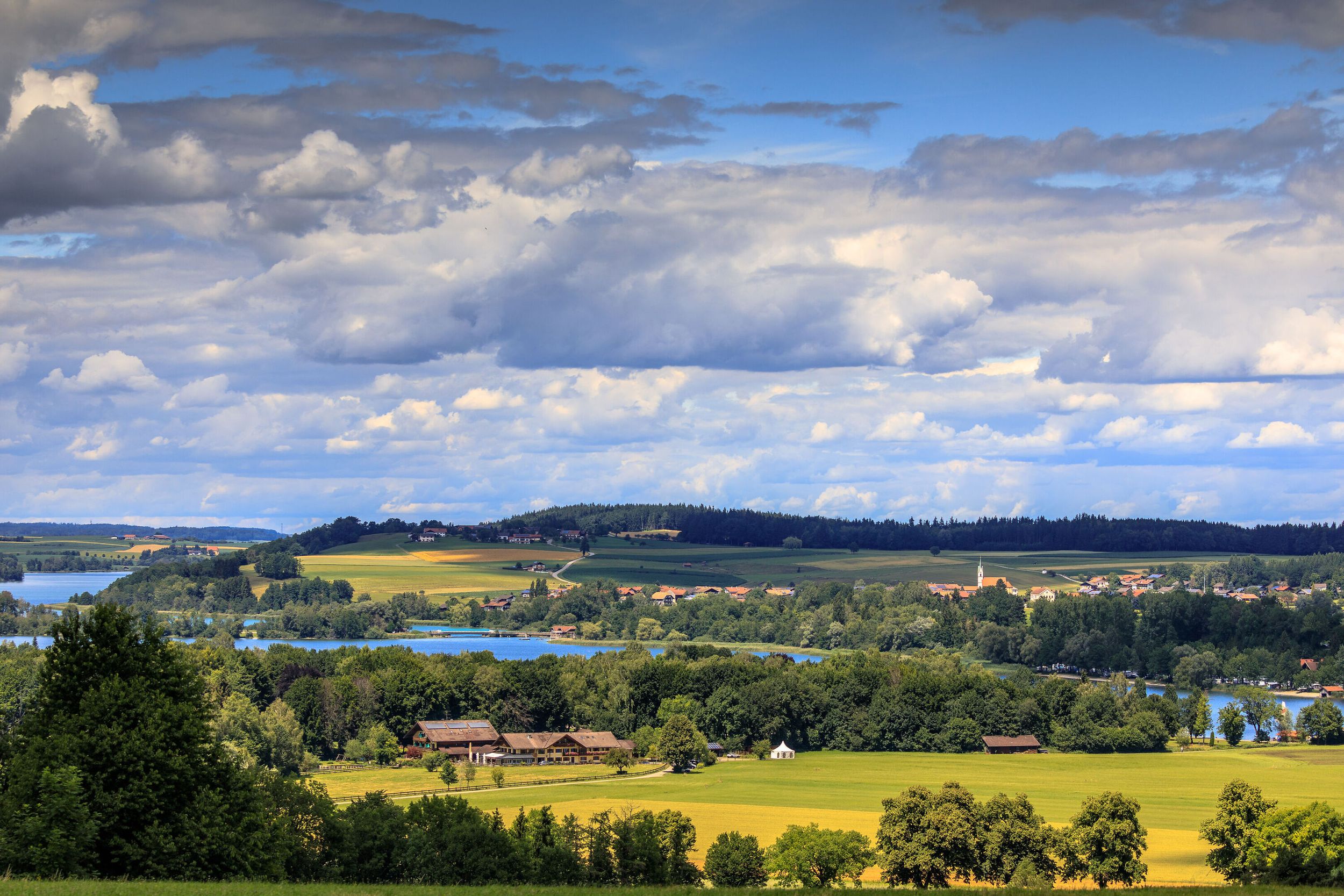
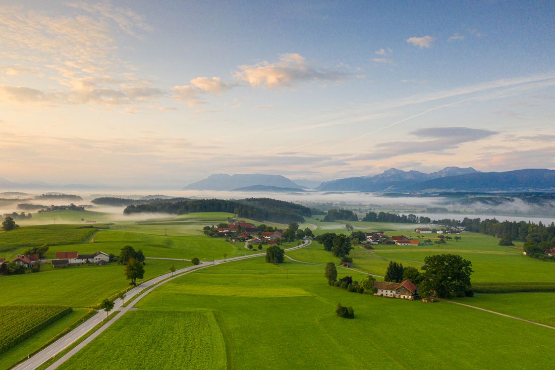
Short road bike tour around Lake Waginger.

Sprint um den Waginger See
Cycling tour- Starting point Tourist Info Waginger See
- Location Waging by the lake
- distance 20.2 kilometres
- duration 00:51 hours
- maximum altitude 483 meters
- minimum altitude 442 meters
- altitude difference 168 ascending
- altitude difference 0 descending
easy
difficulty
Tour description:
From the Tourist Info in the Strandbadallee - via the ST 2105 - approx. 300 m left towards Fisching - in the village right - Seeteufel - after the underpass (ST 2105) right - turn right towards Tettenhausen - at the end of the town fork right towards Petting - on Lampoding past the panorama board - Petting - through the village - along the state road along the cycle path in the direction of Waging
Recommended months for this tour
- January
- February
- March
- April
- May
- June
- July
- August
- September
- October
- November
- December
Downloads
- Tour as a PDF file (PDF)
- Tour as a KML file (KML)
- Tour as a GPX file (GPX)
Responsible for the content: Ferienregion Waginger See
Arrival by car
Approach via Traunstein to Waging am See. Turn left into town at the Aral gas station, you can park your car all day in car park P1.
Arrival by public transport
Train connection Traunstein-Waging
