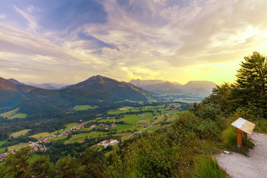
The Kroatensteig trail is one of the historical paths between Germany and Austria, which many a smuggler used to use back then. Day tour with great locations.
Lake Taubensee via Chiemhauser Alm and Kroatensteig trail by bus 9505
hiking tour- Starting point Oberwössen bus stop Tourist Info
- Location Reit im Winkl
- distance 17.8 kilometres
- duration 07:10 hours
- maximum altitude 1288 meters
- minimum altitude 636 meters
- altitude difference 940 ascending
- altitude difference 898 descending
Tour description:
Starting point: bus stop Tourist - Info, take RVO line 9505 to "Oberwössen Tourist Info". The path begins at the maypole.
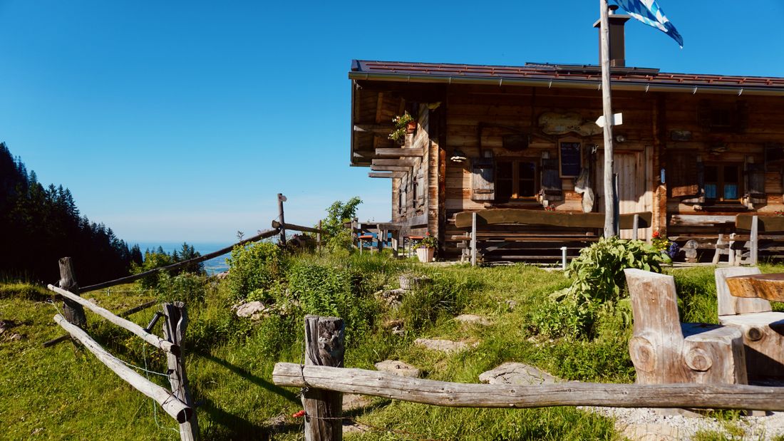
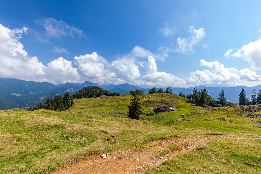
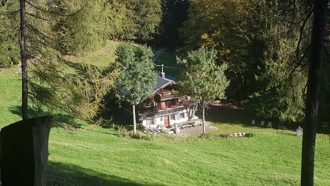
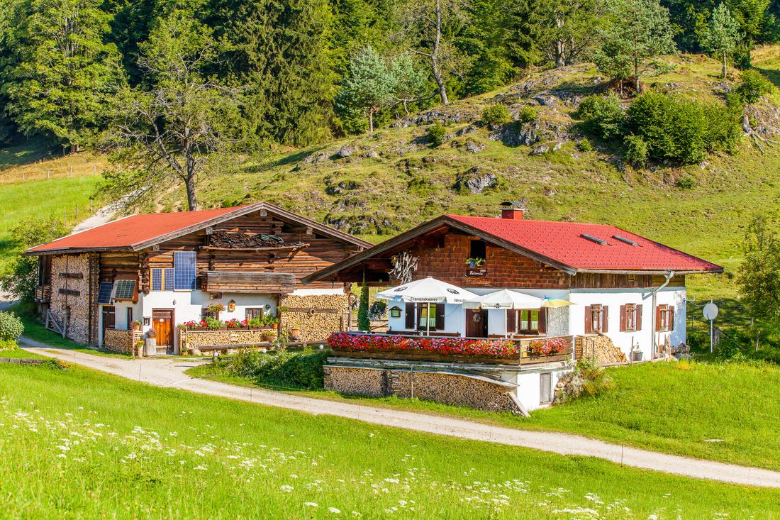
First, follow the signs to Hinterwössen. Past historic farms and hamlet chapels, the forest path leads steadily uphill past alpine pastures (not farmed) and partly dense forests. After a while, the view of the mountains opens up. The path continues to the alpine pasture area. Passing mighty old trees, it runs straight across a lush alpine meadow. Flowers and herbs grow here, a biodiversity that you hardly see anymore. The mountain world opens up again and fascinates again and again. A few meters away is the Chiemhauser Alm, nestled and surrounded by forest and meadows.
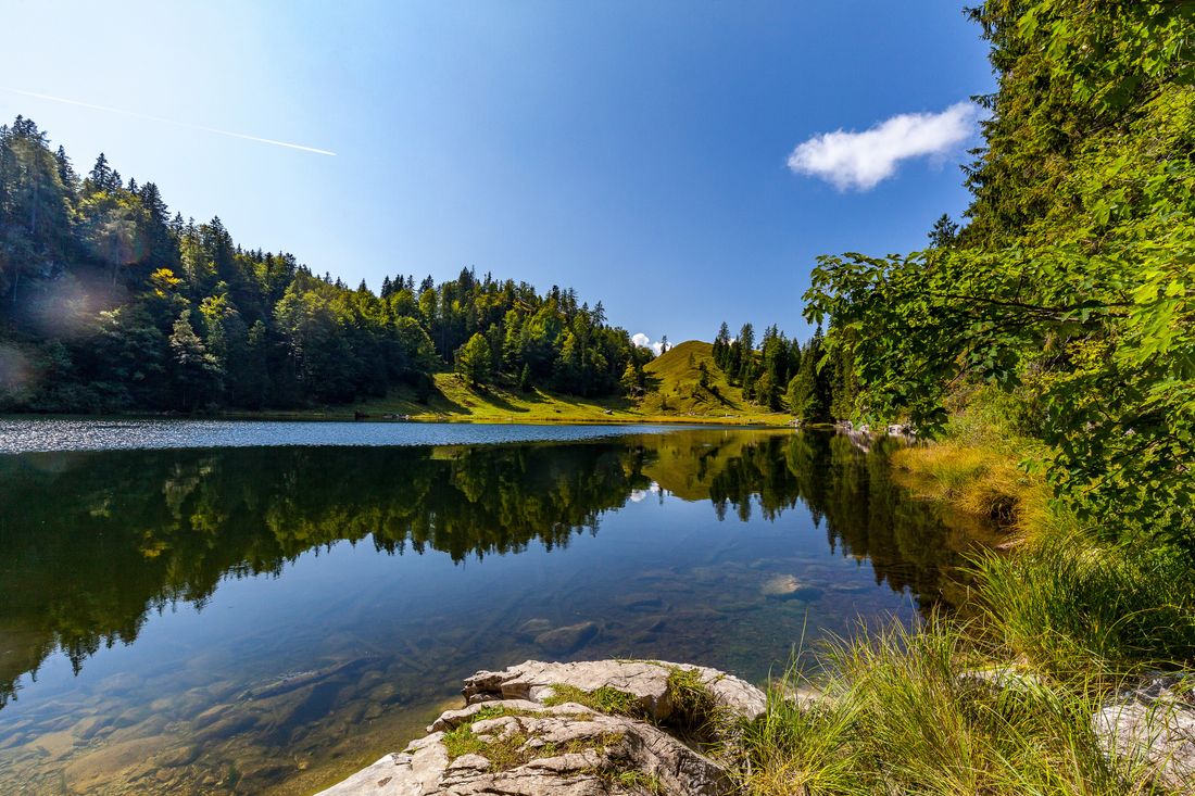
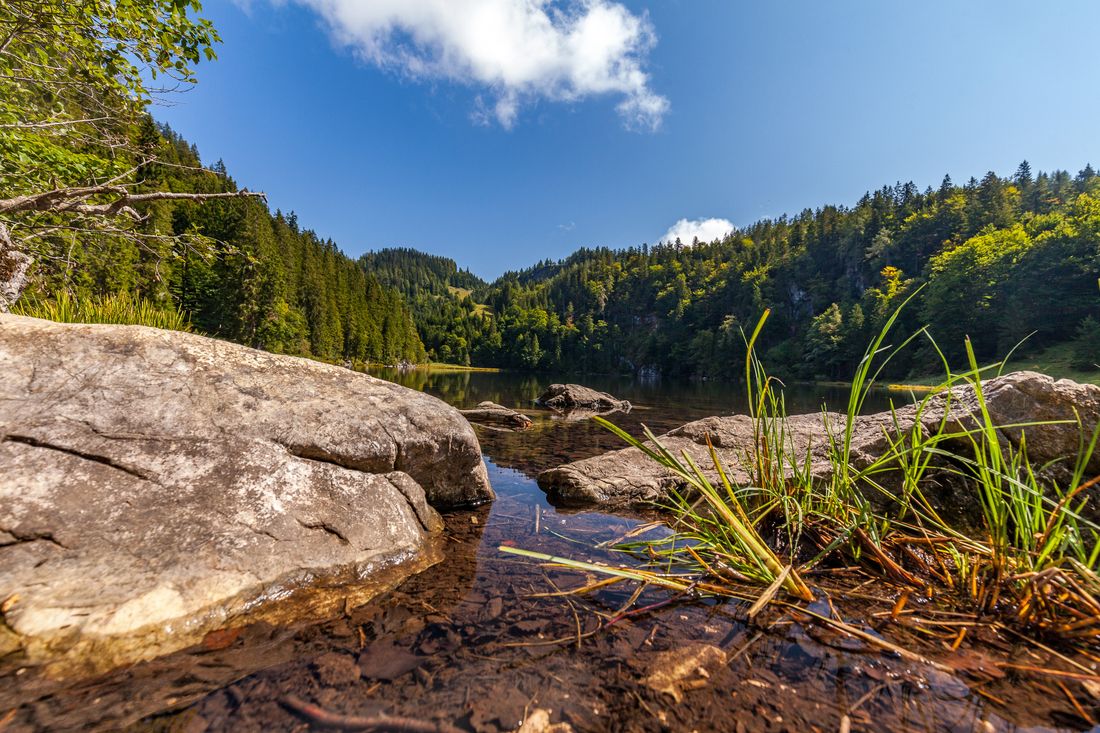
The path continues to the left into another forest area, follow the signs to the Kroatensteig trail. This is where the actual ascent begins on this historic smugglers' path between Bavaria and Austria. First steadily uphill, after a few meters it gets steep. The path is easy to walk on, tricky spots on the mountain path are well secured and defused with ropes. The narrow trail leads down on the other side, past the old customs hut, in the direction of lake Taubensee. This beautiful mountain lake is called the eye of the Chiemgau, and it is wonderful to bathe in warm temperatures. The border between Germany and Austria runs right in the middle of the body of water.
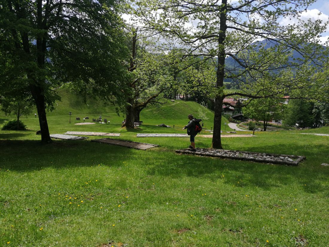
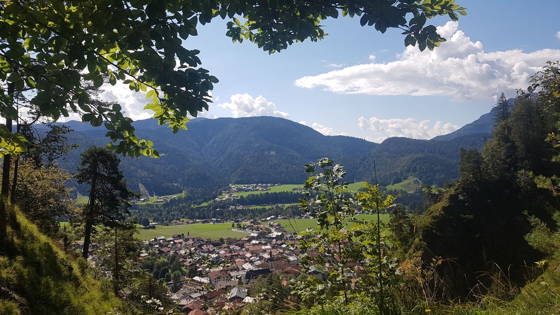
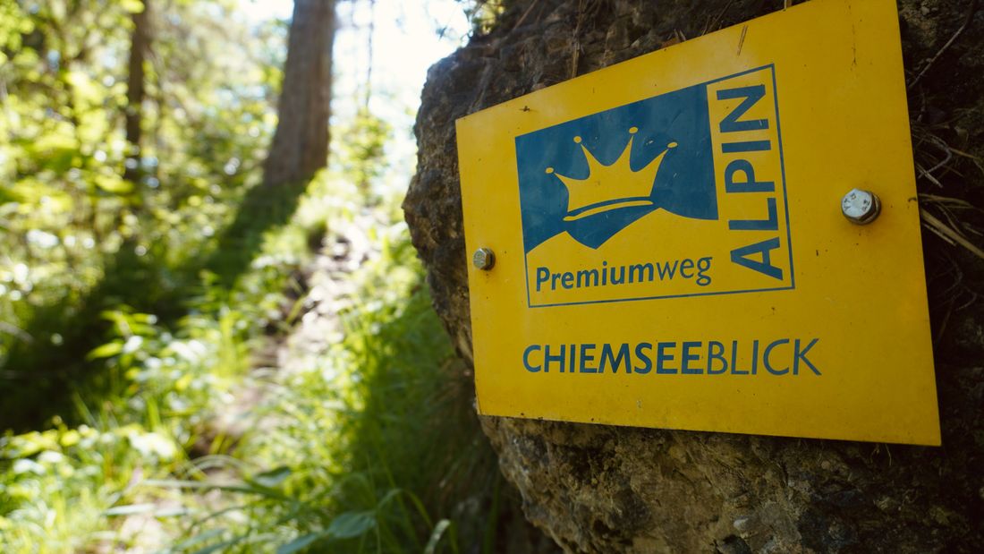
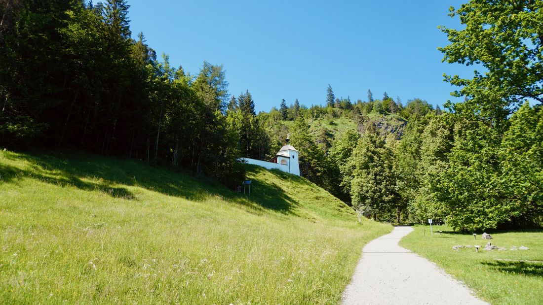
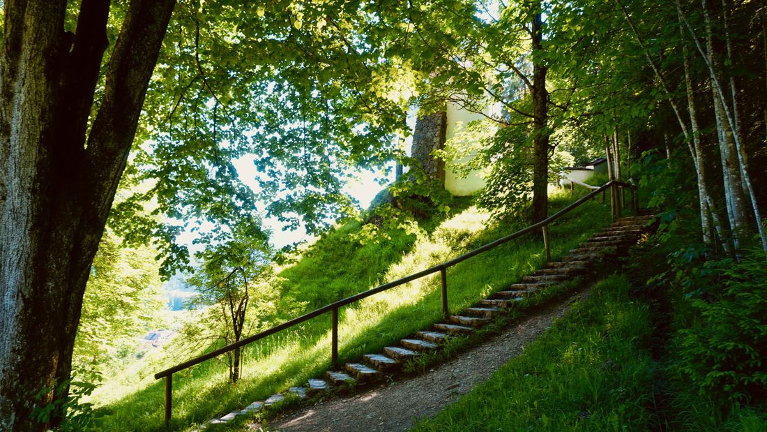
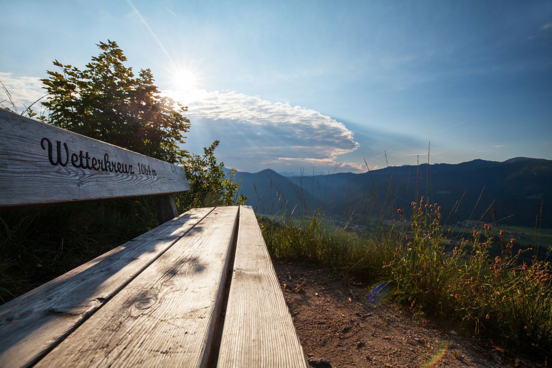
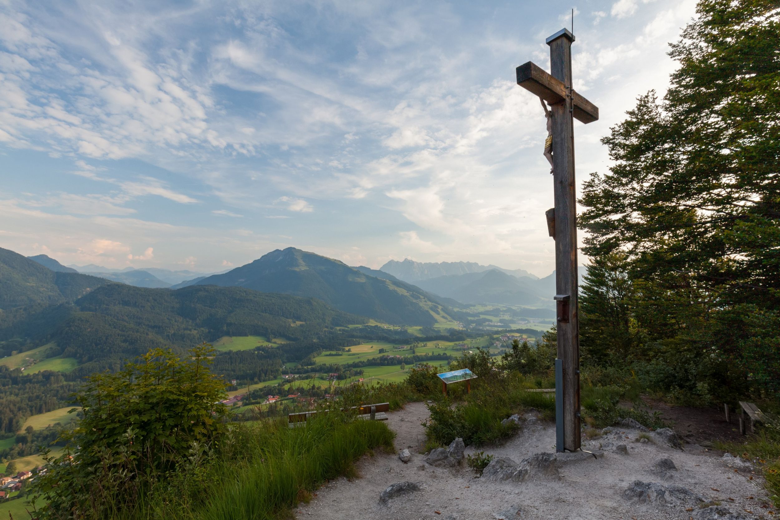
Along the northern shore, the narrow path leads over a bridge, rocks and roots. The climb to the Sauermöseralm begins at the end of the lake. The Sauermöseralm stands on a high plateau with a wonderful, dreamlike mountain backdrop in the background. Part of the premium trail starts right here. From the Stoibenmöseralm a tree staircase leads to a natural trail, above the alpine meadows a forest path branches off to the left on a narrow path in the direction of the Wetterkreuz, a crag with a wonderful view of the village of Reit im Winkl. After another 15 minutes, this path leads to a forest road that leads to the Glapfalm and further in the direction of the Hausbachfallsteig trail. With a spectacular view of the picturesque mountain village and the via ferrata on the opposite side of the trail, the goal, the Kriegerkapelle chapel Reit im Winkl (742m), is not far. Tired legs can relax in the barefoot park below the chapel and refresh themselves in the new Kneipp basin before the center of Reit im Winkl invites you to stop off. Refreshment stops: Hutzenalm, Stoibenmöseralm, inns in the village.
Recommended months for this tour
- January
- February
- March
- April
- May
- June
- July
- August
- September
- October
- November
- December
Downloads
- Tour as a PDF file (PDF)
- Tour as a KML file (KML)
- Tour as a GPX file (GPX)
Responsible for the content: Tourist Info Reit im Winkl
Arrival by public transport
With the RVO bus line 9505 from the Tourist Info Reit im Winkl to Prien am Chiemsee. Get off at the Oberwössen Tourist Info stop. Please note the timetable.
