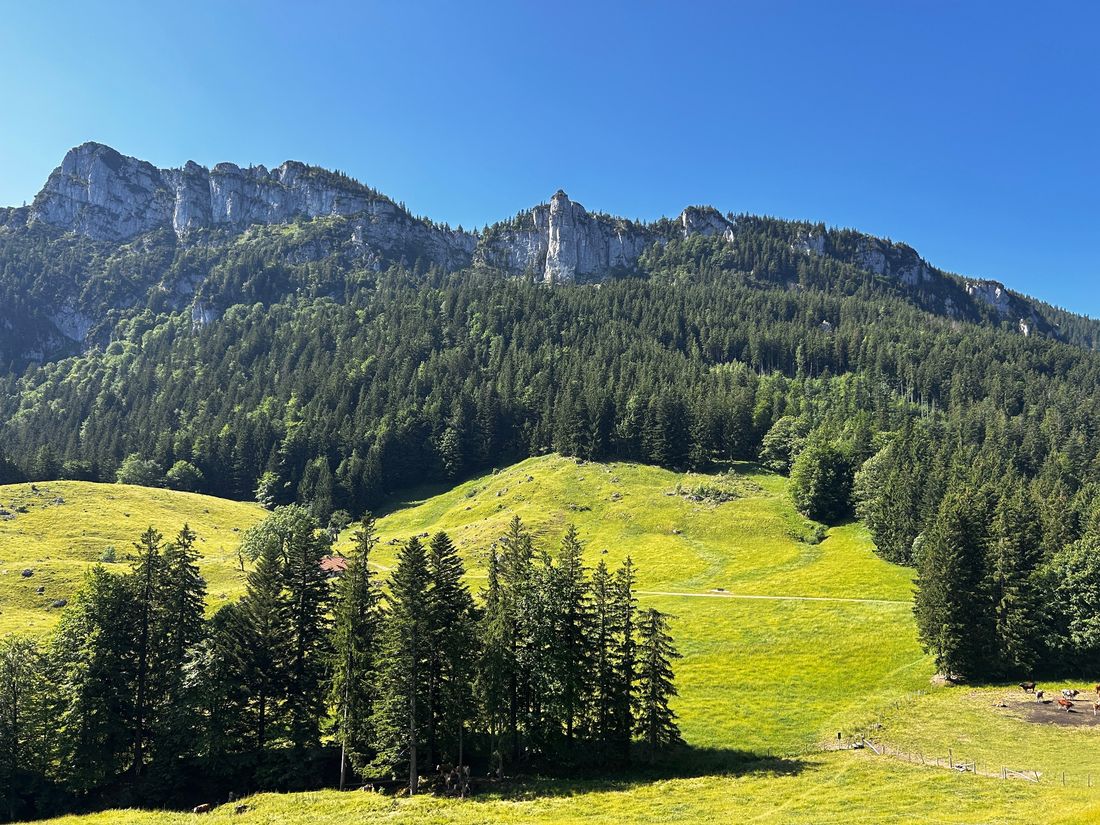
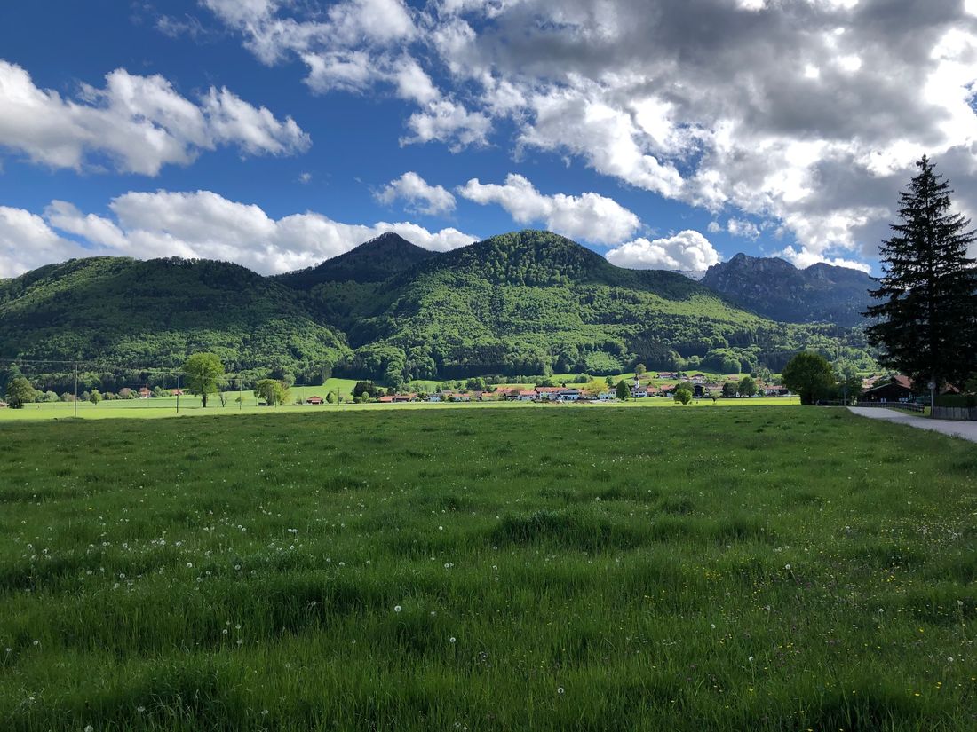
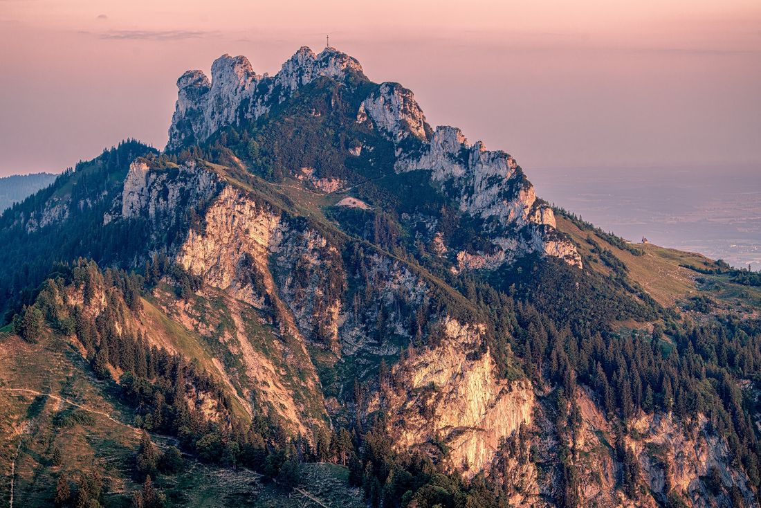
A challenging mountain route with a magnificent view over Lake Chiemsee.
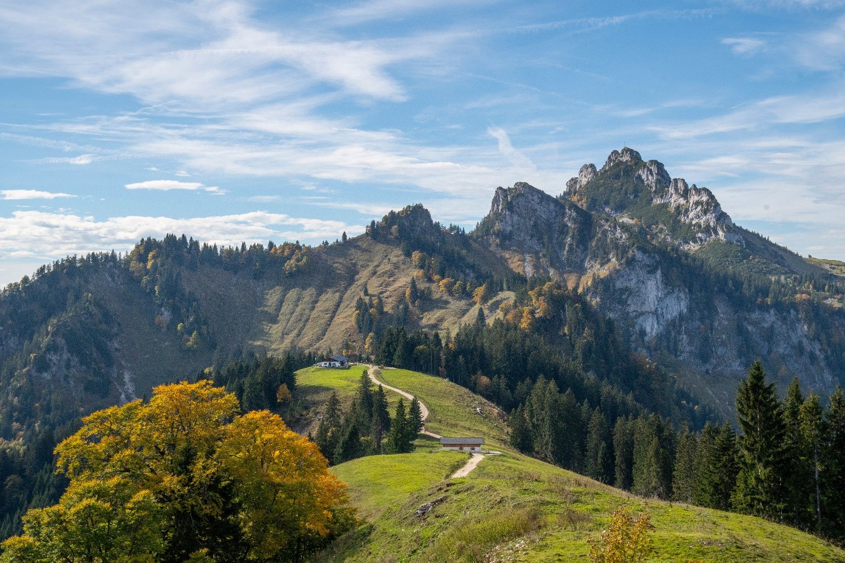
To the Kampenwand | Summit route
hiking tour- Starting point Tourist information Rottau
- Location
- distance 9.1 kilometres
- duration 06:00 hours
- maximum altitude 1658 meters
- minimum altitude 549 meters
- altitude difference 1108 ascending
- altitude difference 0 descending
Tour description:
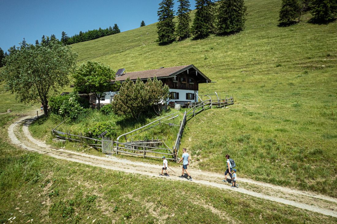
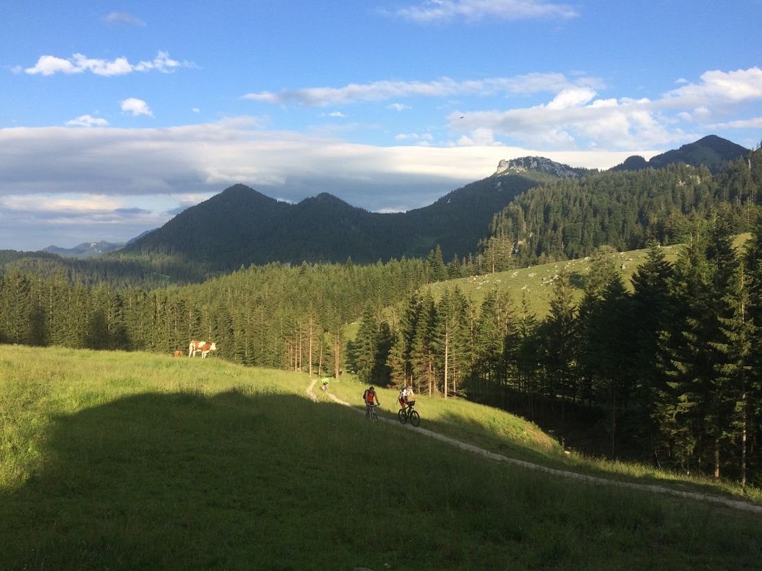
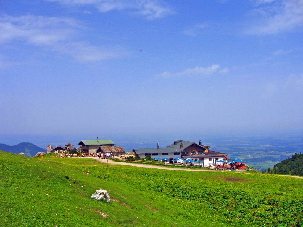
The challenging route for experienced hikers takes you through the Rottau Valley and through wonderful mountain forests and meadows to the most famous summit in the Chiemgau region, the Kampenwand. The start of the route is at the hiking car park on Adersberger Straße in Rottau. A short, steep climb leads you to a forest road that leads into the Rottau Valley. You then continue along the stream and past the "Hachau" until after about an hour you reach the Vorder-Alm. Afterwards, the path continues on meadow paths to a rocky trail that passes the Mother of God grotto along its switchbacks. The last part of the route runs along the ridge of the Sulten, through alpine meadows, towards the Steinling Alm. The return journey follows the same route as the ascent.
Tips for the route:
- Arrived at Steinling Alm, you have the opportunity to tackle the summit of the Kampenwand; this route is not suitable for beginners
- Sturdy footwear is strongly recommended
Recommended months for this tour
- January
- February
- March
- April
- May
- June
- July
- August
- September
- October
- November
- December
Downloads
- Tour as a PDF file (PDF)
- Tour as a GPX file (GPX)
- Tour as a KML file (KML)
Parking at the destination
Tourist information Rottau, at the maypole or at the hiking car park on the federal road towards Bernau (Adersbergstraße)
Arrival by public transport
By train Munich-Salzburg, stop Prien am Chiemsee. Then take RVO bus no. 9505, stop directly in front of the tourist information office in Rottau.
Timetables are available at the tourist information offices in the respective towns.
