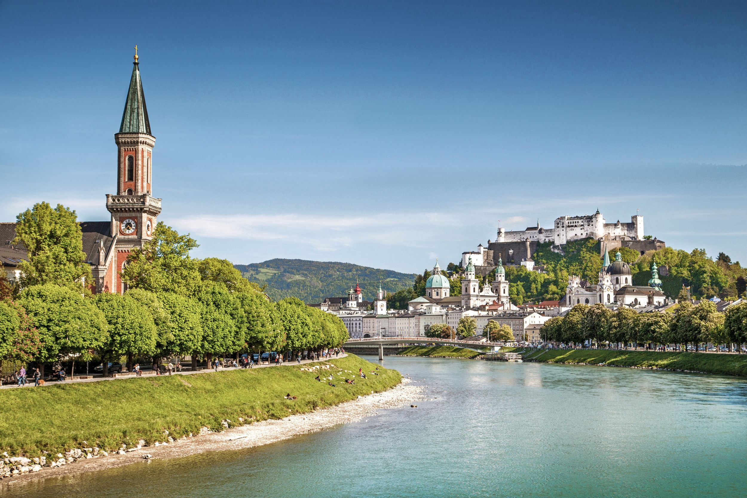
Demanding tour through Salzburg to the Gaisberg.

Tour nach Salzburg mit Gaisberg
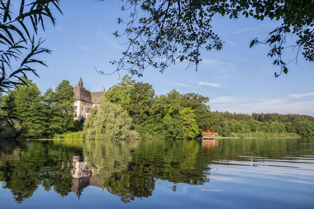
Cycling tour- Starting point Tourist Info Waginger See
- Location Waging by the lake
- distance 90.6 kilometres
- duration 05:00 hours
- maximum altitude 1274 meters
- minimum altitude 406 meters
- altitude difference 1173 ascending
- altitude difference 1173 descending
Tour description:
The journey to the Gaisberg leads through Salzburg, which is not ideal. But there is no other viable option. On the ascent, the gradient percentages change very strongly. You need a lot of morale for the dead-straight 1,500 meter long, very steep section that is only interrupted by a hairpin bend after the Zistelalm. From the Gaisberg you can enjoy a 360 panoramic view of the magnificent Rupertiwinkel. The return journey is the same as the arrival. Saving energy is the priority on this trip. 90 km and 1,100 vertical meters "in one go" demand maximum performance. That is why the shortest route was chosen. If you want (still can), you are welcome to choose alternative side roads. Directions Tourist Info - state road ST2104 - Freilassing - Salzburg (in principle straight ahead through the city) Munich federal road - Ignaz-Harrer-Strasse - Lehener bridge over the Salzach - railway underpass - Gabelsberger Strasse - keep left at the major crossing into the Linzer Bundesstrasse - after approx. 450 At the fork, turn right onto idMinnesheimstraße (later becomes idWolfgangseestraße) - after a good 4 km turn right onto idGaisberg Landesstraße - follow this road to the summit. Return as arrival: Gaisberg - Salzburg - Freilassing - Waging am See.
Recommended months for this tour
- January
- February
- March
- April
- May
- June
- July
- August
- September
- October
- November
- December
Tips for this tour
We're going to Austria! Don't forget your ID.
Downloads
- Tour as a PDF file (PDF)
- Tour as a GPX file (GPX)
- Tour as a KML file (KML)
Responsible for the content: Ferienregion Waginger See


