Alm-Rundweg - Shady circular trail on forest roads from the hiking car park Austraße, Blasialm, Geigelstein car park, back to Schlechinger Au

Blasialm-Rundweg
hiking tour- Starting point Parking Schlechinger Au
- Location Schleching
- distance 7.9 kilometres
- duration 02:45 hours
- maximum altitude 926 meters
- minimum altitude 588 meters
- altitude difference 479 ascending
- altitude difference 479 descending
Tour description:
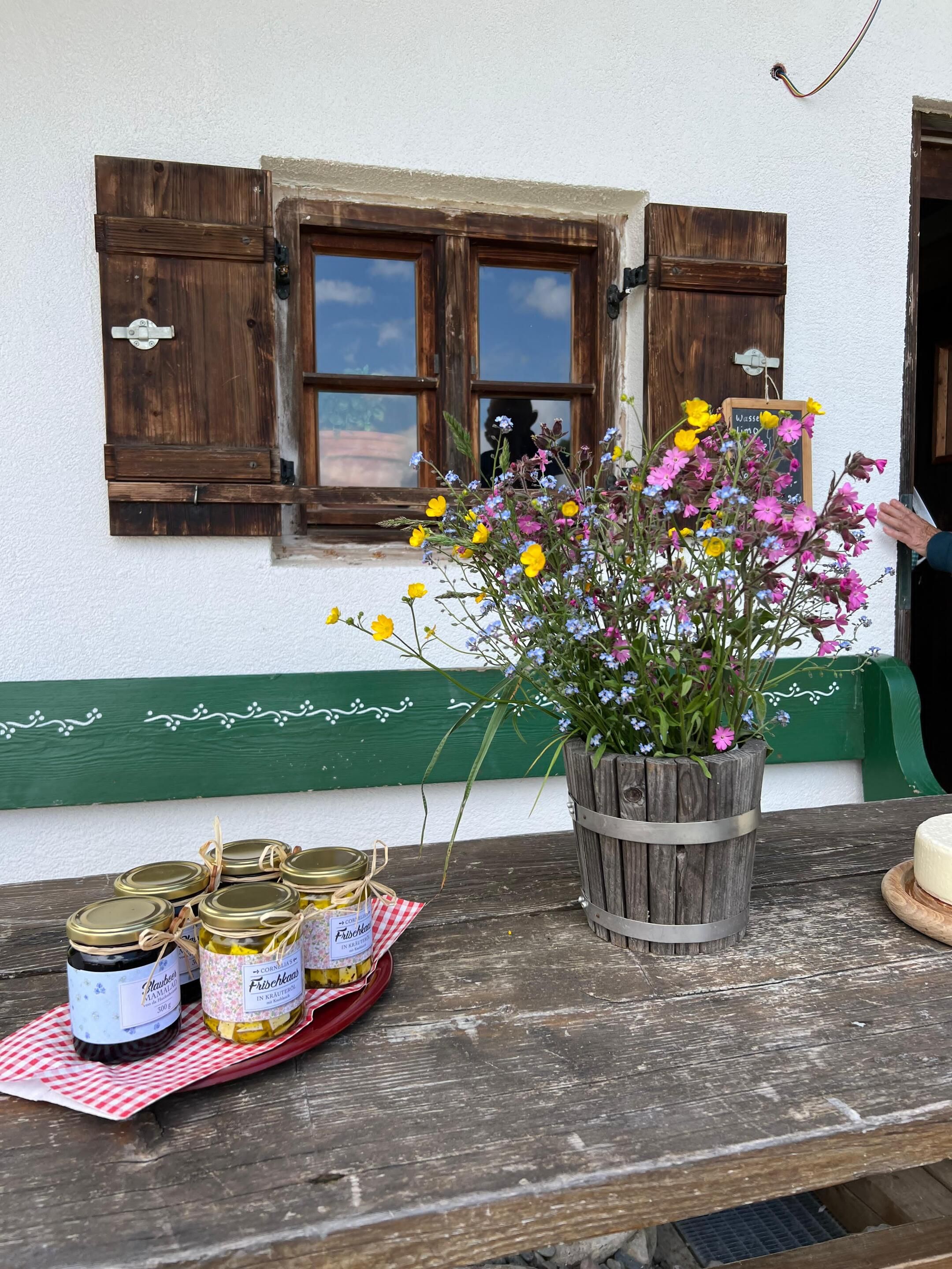
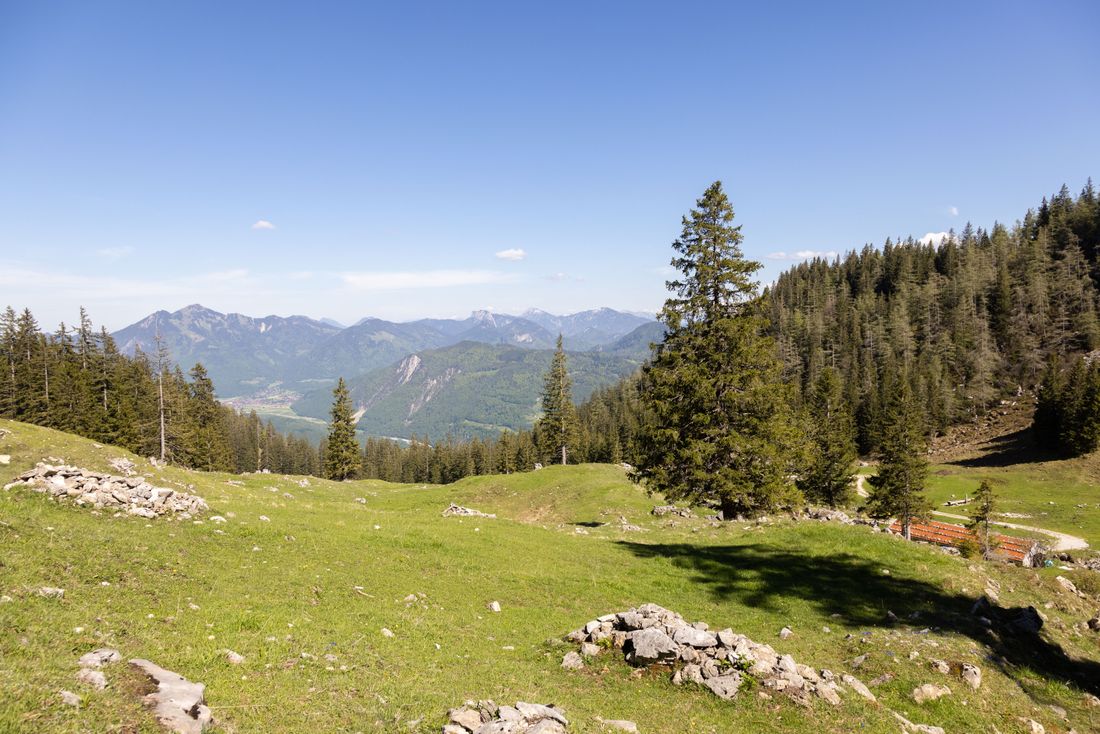
Alpine pasture circular route Possibility to stop off: noneSpecial features: quiet, secluded tour far away from the hustle and bustleDescription: From the Austrasse hiking car park, take a forest path towards Haidenholzalm. At the first major crossroads, turn left towards Ettenhausen. 200 m above is the Blasialm, which gave this circular route its name. Continuing on, there is a shortcut to Ettenhausen or Schleching via the "Knoglerlahnersteig", a narrow serpentine path, until signs point the way towards Mühlau or the Austrasse hiking car park. However, if you follow the forest road to the Geigelstein car park with information boards for hiking destinations and circular routes and walk a short distance on the road towards Ettenhausen, the path branches off to the left towards the starting point at the Austrasse hiking car park.Achental hiking pin checkpoints: Blasialm
Recommended months for this tour
- January
- February
- March
- April
- May
- June
- July
- August
- September
- October
- November
- December
Downloads
- Tour as a PDF file (PDF)
- Tour as a GPX file (GPX)
- Tour as a KML file (KML)
Responsible for the content: Achental Tourismus gKU


