Summit circular hike with flora and fauna highlights in the Geigelstein nature reserve and wonderful mountain panorama
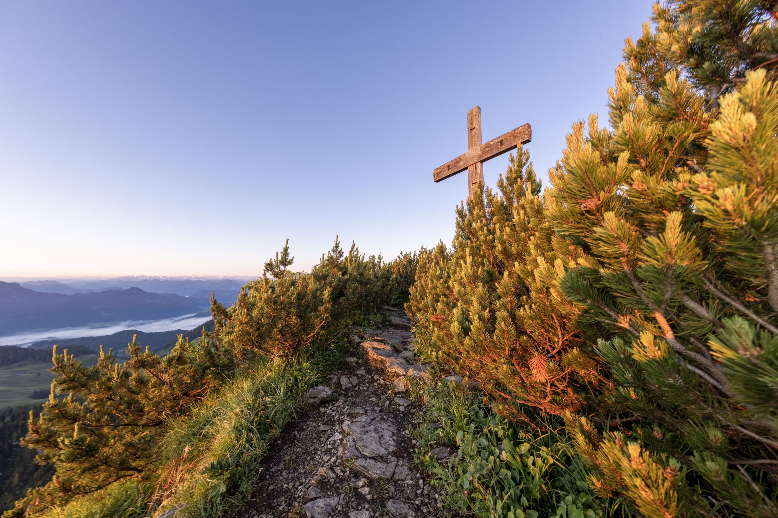
Breitenstein - summit tour
hiking tour- Starting point Ettenhausen, Geigelstein car park
- Location Schleching
- distance 11.7 kilometres
- duration 05:45 hours
- maximum altitude 1661 meters
- minimum altitude 627 meters
- altitude difference 1023 ascending
- altitude difference 1023 descending
difficult
difficulty
Tour description:
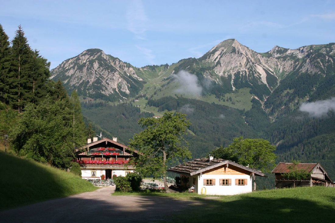
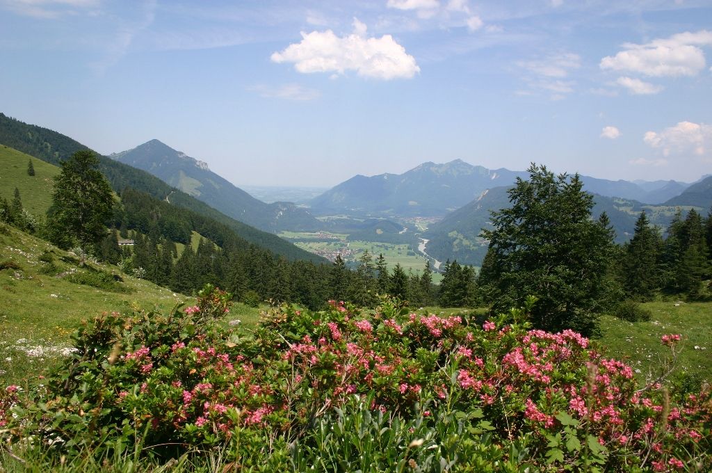
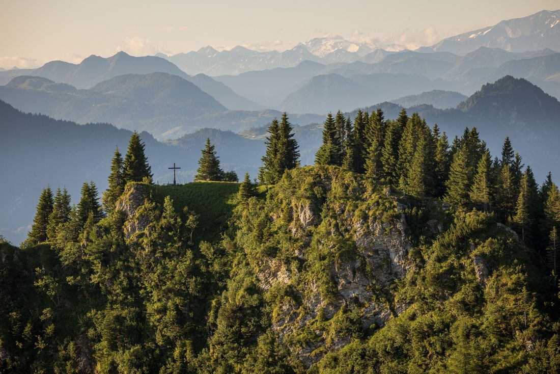
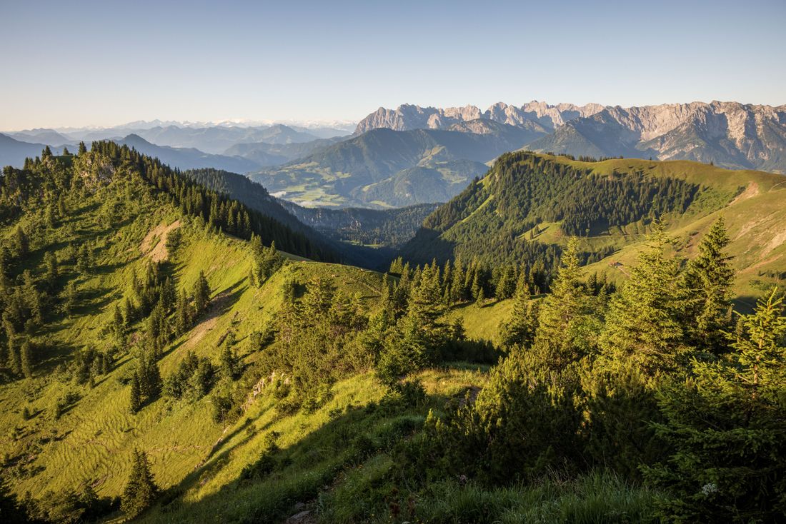
Mountain circular tour. Achental hiking badge Checkpoints: Wuhrsteinalm, Karl. Special features: Karlalm alpine pasture, a paradise for the marmots that live there; chamois on the Breitenstein massif. Description: From the Geigelstein car park in Ettenhausen, a forest path leads towards Rudersburg. After the bridge, turn right onto the path towards Grießelberg (Gamsweg). Via the Karl with the dilapidated Karlalm and the Karl Joch, we reach the Breitenstein summit. The return journey goes via the Käferlschneid to the Wirtsalm and the Wuhrstein area. Via the forest path, we finally reach our starting point, the Geigelstein car park.
Recommended months for this tour
- January
- February
- March
- April
- May
- June
- July
- August
- September
- October
- November
- December
Downloads
- Tour as a PDF file (PDF)
- Tour as a GPX file (GPX)
- Tour as a KML file (KML)
Responsible for the content: Achental Tourismus gKU
