Anyone who has always wanted to cross borders while hiking is in the right place with the ridge walk on the Dürrnbachhorn, because this is exactly where the Bavarian-Austrian border runs. Surefootedness, stamina and a head for heights are amply rewarded with a wonderful panoramic view.
Dürrnbachhorn Summit Hike
hiking tour- Starting point Winklmoos-Alm
- Location Reit im Winkl
- distance 7.5 kilometres
- duration 04:15 hours
- maximum altitude 1770 meters
- minimum altitude 1188 meters
- altitude difference 624 ascending
- altitude difference 624 descending
Tour description:
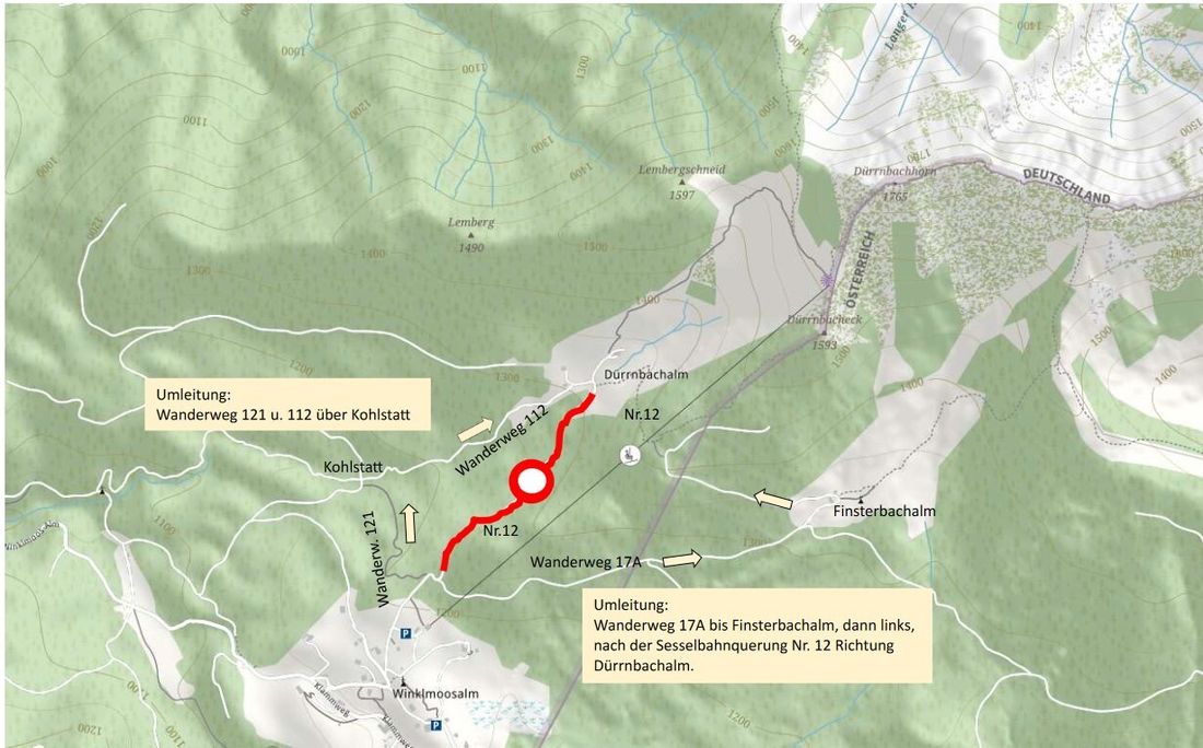
Dürrnbachhorn lift car park - forest road - Dürrnbachalmen - trampling path - Dürrnbacheck mountain station - Dürrnbachhorn summit - ridge hike - Heutal lift station - Finsterbachalm - Dürrnbachhorn lift car park
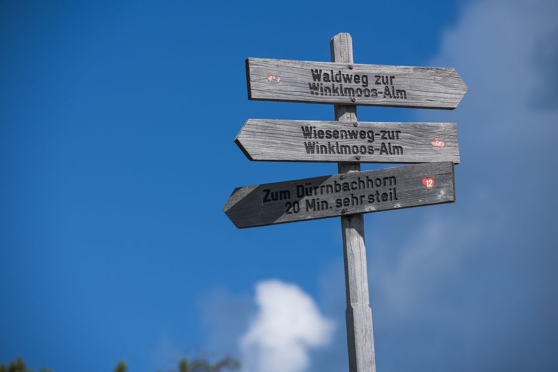
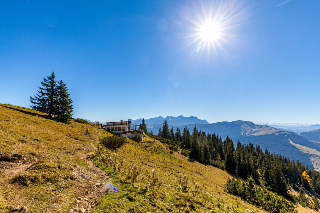
Starting from the car park at the Dürrnbachhorn lift, hike up the paved road to the left, leaving the chair lift behind you ( path no. 12 ). At the end of the paved road is the Dürrnbachalmen area. A little before the barracks, a narrow mountain trail branches off to the right from the tarred road to the Dürrnbachhorn . A look back opens up a view of the Steinplatte and the Kaiser Mountains .
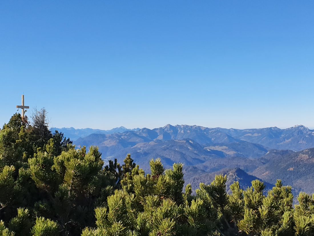
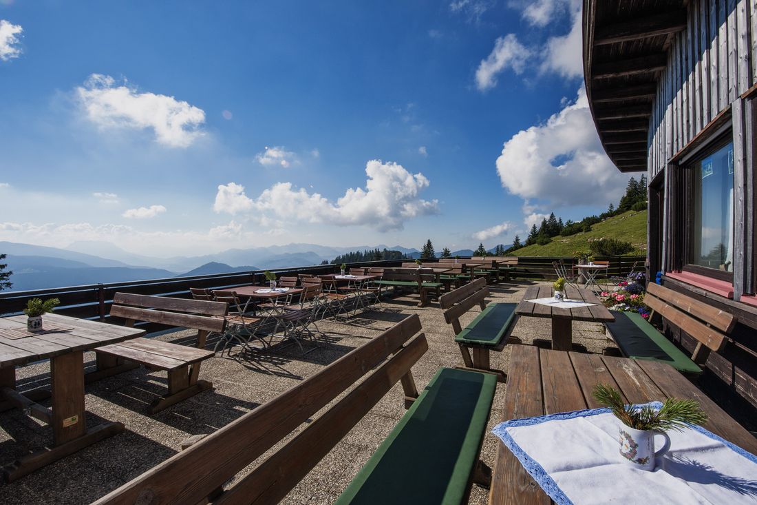
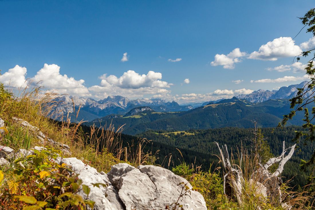
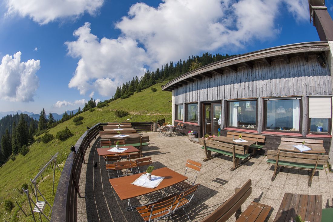
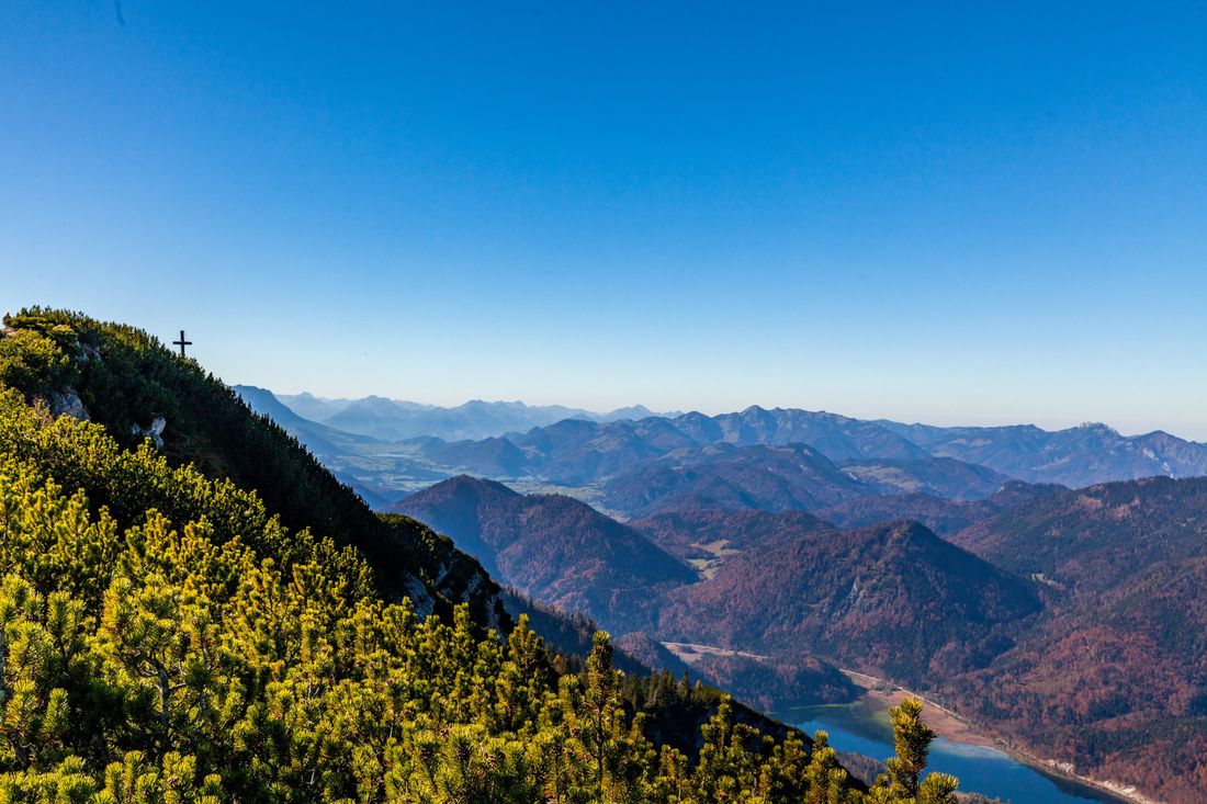
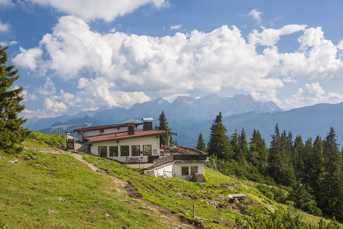
The beaten path leads steeply under the chair lift up to the mountain station on Dürrnbacheck with a panoramic inn . From here it goes over very steep steps, some of which are very high , cut into the ground and reinforced with wooden planks, to the summit . On the Dürrnbachhorn, a 360-degree view is rewarding for the arduous ascent. In the valley you can see the Weitsee, behind it the mountains of the Chiemgauer Voralpen , in the east the limestones of the Berchtesgaden Alps with the Watzmann , in the west the Kaiser mountains, in the south the Loferer Steinberge and the Hohe Tauern and so to speak in front of your feet the Winklmoosalm .
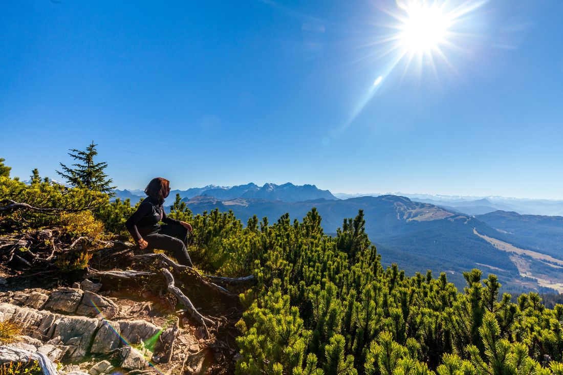
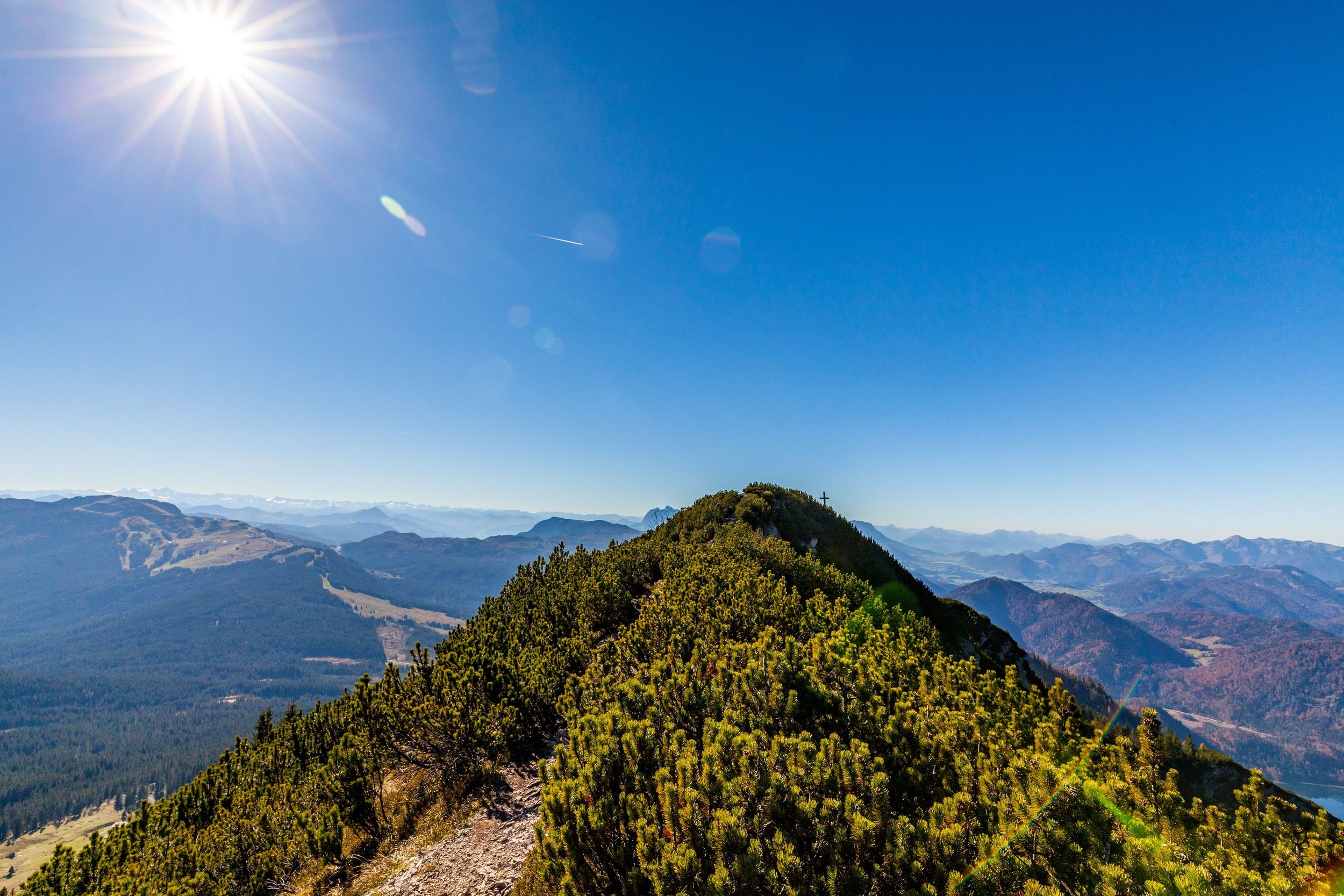
From here, between mountain pines, continue along the ridge on a very narrow path. At the end of the ridge you reach the foothills of the Gimplingsattels and follow path no. 17 towardsFinsterbachalm / Wildalm / Heutal right downhill. This path leads past the Heutal lift station . At the fork here, continue to the right. The forest becomes thicker and it goes downhill more shady on a washed-out path.
The forest soon opens up, the hiker enters a wide alpine pasture, at the end of which is the managed Finsterbachalm . After the Alm you take a very wide, paved forest path that leads directly to the starting point. Because under the chair lift you get back to the beginning of the trail.
Recommended months for this tour
- January
- February
- March
- April
- May
- June
- July
- August
- September
- October
- November
- December
Tips for this tour
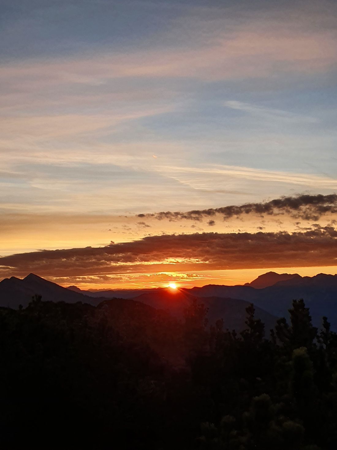
A highlight for early risers: enjoy a sunrise here.
Downloads
- Tour as a PDF file (PDF)
- Tour as a GPX file (GPX)
- Tour as a KML file (KML)
Arrival by car
Coming from Munich or Salzburg on the motorway Munich - Salzburg (A8 to Grabenstätt exit no. 109), continue in the direction of Marquartstein and on the well-developed German Alpine Road (B305) to Reit im Winkl.
At the entrance to the village (Entfelden) in the direction of Ruhpolding approx. 5 km to the Seegatterl district, then via the toll road from Seegatterl to the Winklmoos - Alm. Parking: -Klammweg, 83242 Reit im Winkl.
Coming from Munich or Innsbruck on the federal motorway Rosenheim - Innsbruck (A93) to Oberaudorf (exit no. 59), on to Walchsee, Kössen and Reit im Winkl. Continue on the B 305 to Ruhpolding approx. 5 km to the Seegatterl district via the toll road from Seegatterl. Parking: -Klammweg, 83242 Reit im Winkl.
Arrival by public transport
Connections to Reit im Winkl from Prien am Chiemsee train station (best bus connection!). Take the RVO bus line 9505 to Tourist Info, then change to line 9507. Bus stop Winklmoos-Alm
Connections to Reit im Winkl from Ruhpolding station with the RVO - line 9506. Change in Seegatterl, line 9507 to the Winklmoos-Alm. Stop Winklmoos - Alm.
