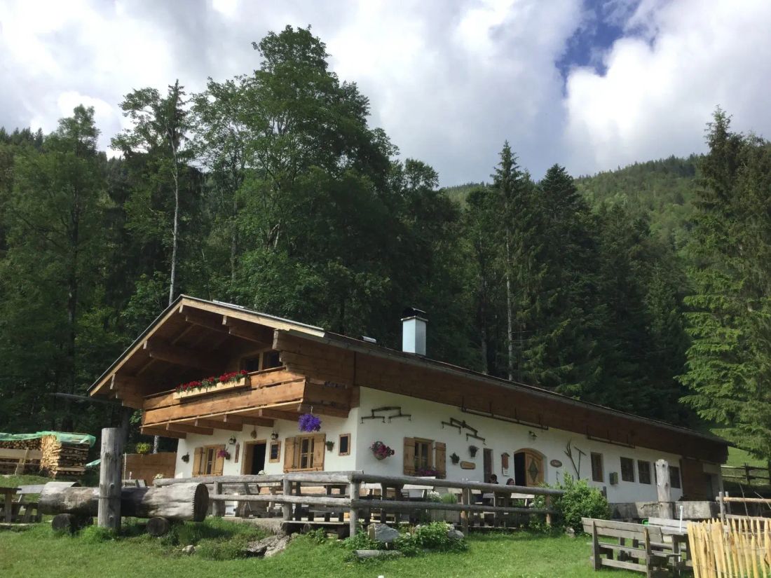
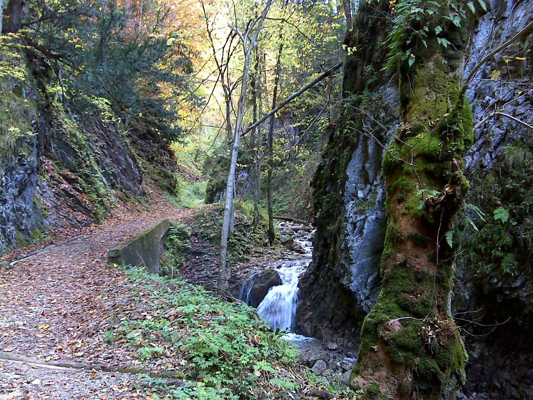
Easy round through the valley of the Hammererbach to the Feldlahnalm.
Feldlahnalm tour
hiking tour- Starting point Oberwössen - Hammerergraben hiking car park
- Location underwear
- distance 6.5 kilometres
- duration 03:30 hours
- maximum altitude 984 meters
- minimum altitude 677 meters
- altitude difference 324 ascending
- altitude difference 340 descending
Tour description:
Tip: This hike is also possible with public transport. Which bus, which stop, where to go? That's below. All public transport tips were subjected to a practical test.
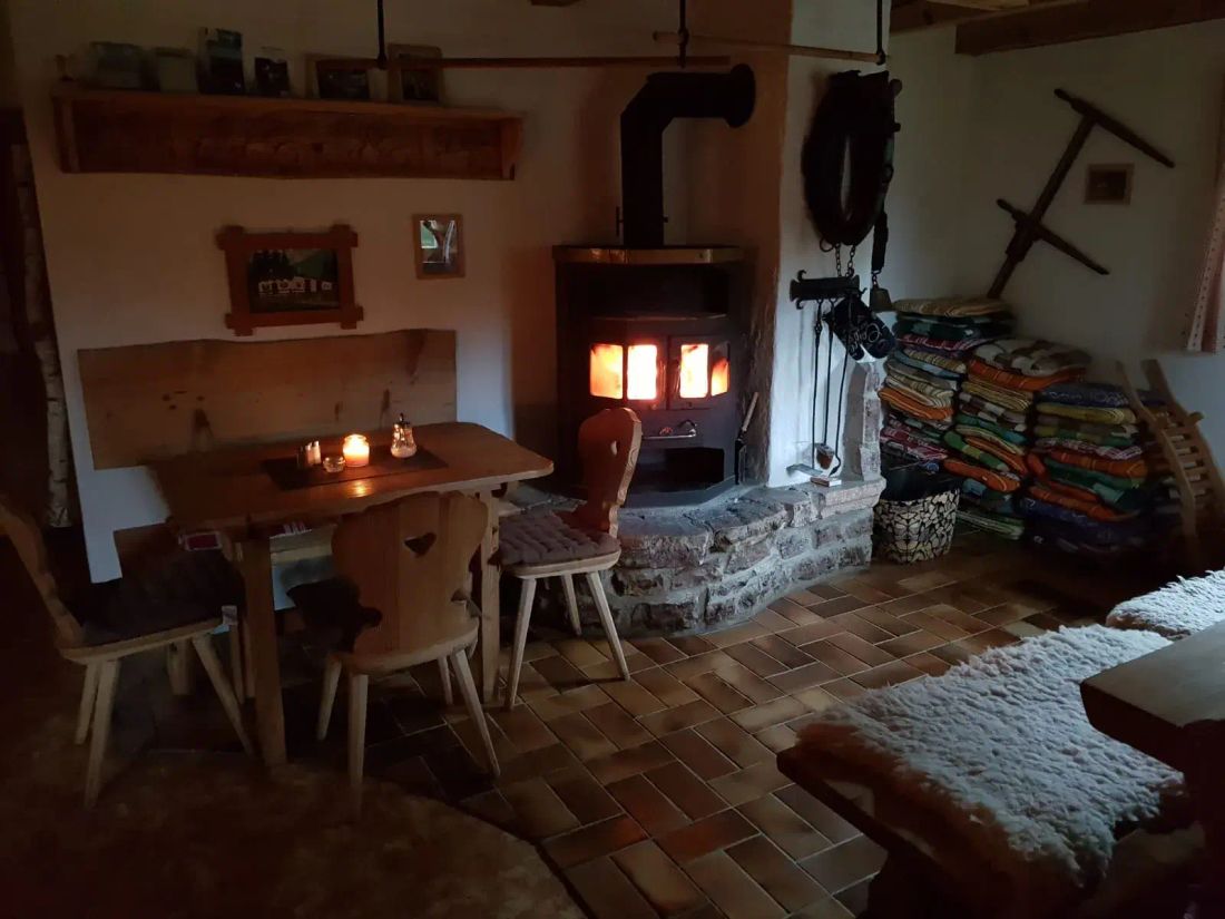
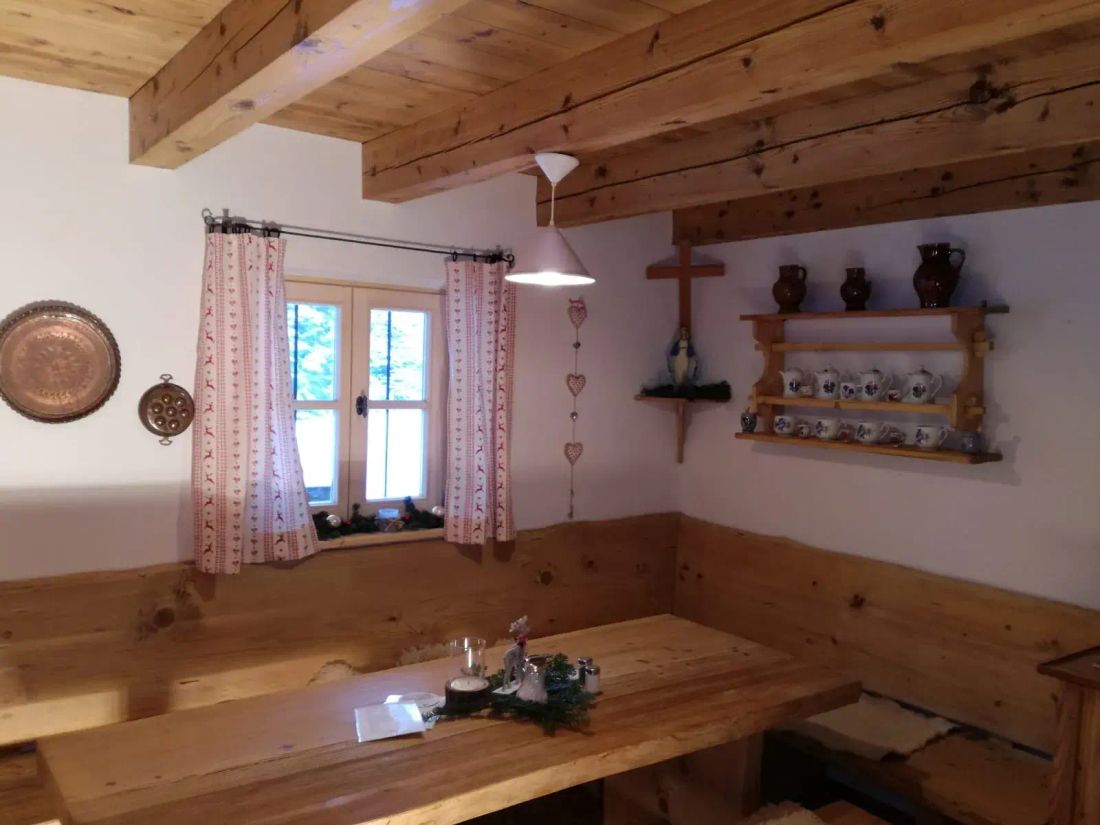
From the Hammerergraben hiker's car park in Oberwössen, follow the Feldlahnalm signs via forest road no. 75. The forest road leads slightly uphill through a gorge to the Feldlahnalm. The Hammererbach has eaten its way deep into the rock here and offers many small waterfalls. Refreshment stops: Feldlahnalm (please note opening hours)
Arrival without a car
How to get there: Line 9505 from Prien am Chiemsee train station to Reit im Winkl
Exit: Brem/Oberwössen stop
Route to the hikers’ car park: Near the bus stop, the route branches off to the left in the direction of travel from the main road. The hike is signposted from here.
Travel time: approx. 40 minutes by bus + 10 minutes on foot
Recommended months for this tour
- January
- February
- March
- April
- May
- June
- July
- August
- September
- October
- November
- December
Downloads
- Tour as a PDF file (PDF)
- Tour as a KML file (KML)
- Tour as a GPX file (GPX)
