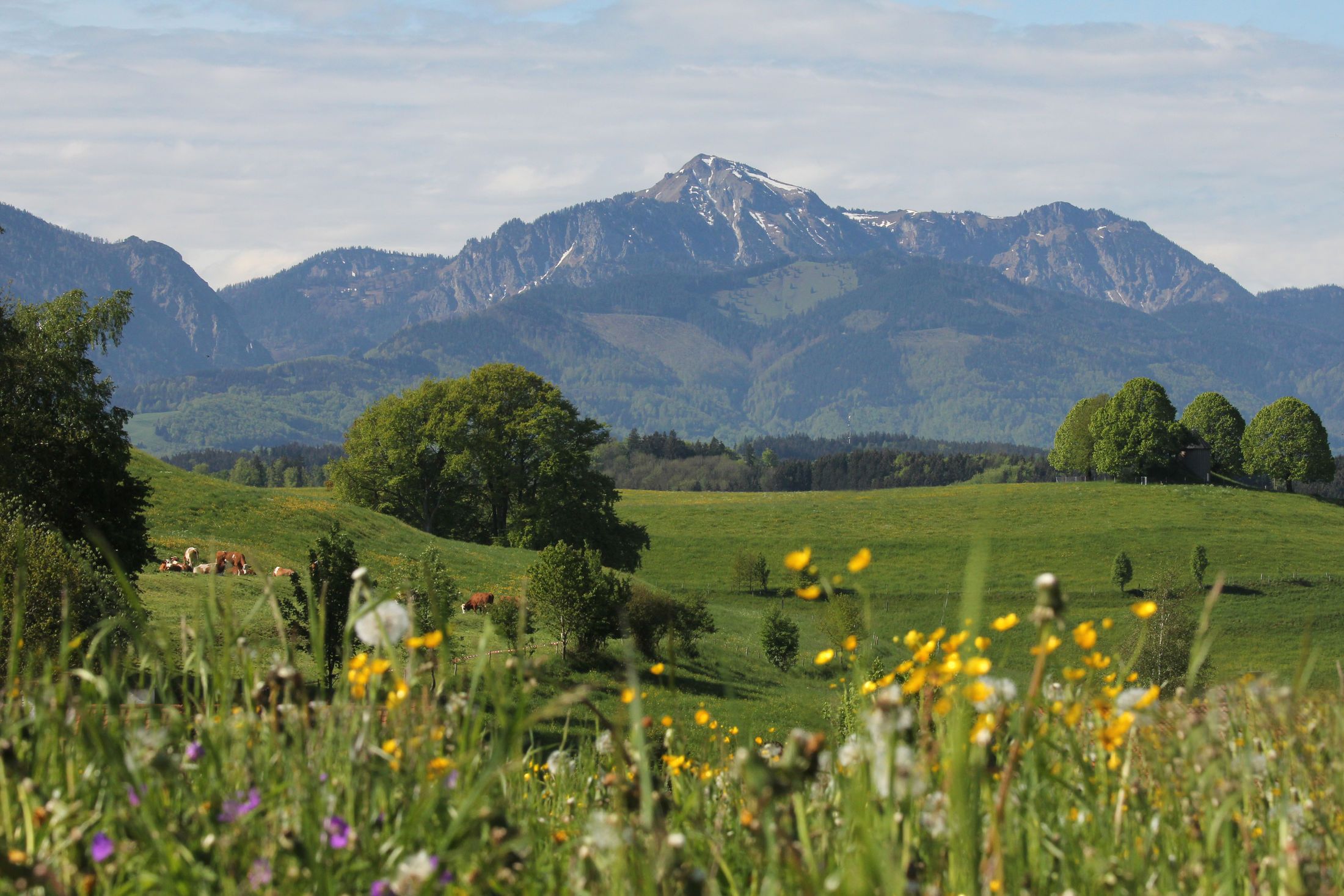
Beautiful reed landscapes, bright blue iris blossoms and a breathtaking mountain panorama.

Hirschau-Rundweg
hiking tour- Starting point Grabenstätter town hall - Grabenstätter Moos - Hagenau - Hirschau - Marwang
- Location Grabenstätt
- distance 7.5 kilometres
- duration 00:00 hours
- maximum altitude 542 meters
- minimum altitude 516 meters
- altitude difference 24 ascending
- altitude difference 24 descending
Tour description:
Grabenstätt Town Hall - Saint Maximilian Church - St. John's Church - Hirschau Bay - Haguenau - Grabenstätt
Tip : This hike can be reached by public transport! Which line, which stop, which way to go? This is according to the web description. All public transport tips have been checked before publication.
The tour starts at the castle, today's town hall of Grabenstätt. From here, a path leads along the market square, which takes you past the Sankt-Maximilian and the Johanneskirche . Then it goes into the moss in the direction of Hirschau Bay , from where you can hike to the nature observation tower as well as to the Hagenau observation tower .
Without a car to Grabenstätt
How to get there : Line 9509 from Traunstein train station to Grabenstätt
Exit : Grabenstätt market square
How to get to the town hall : Turn left at the bus stop and turn right at the next crossing on Schlossstrasse. At the end of the street is the town hall.
Note : The tour can also be started directly from the bus stop.
Travel time: approx. 15 minutes by bus + 5 minutes on foot
Recommended months for this tour
- January
- February
- March
- April
- May
- June
- July
- August
- September
- October
- November
- December
Downloads
- Tour as a PDF file (PDF)
- Tour as a GPX file (GPX)
- Tour as a KML file (KML)


