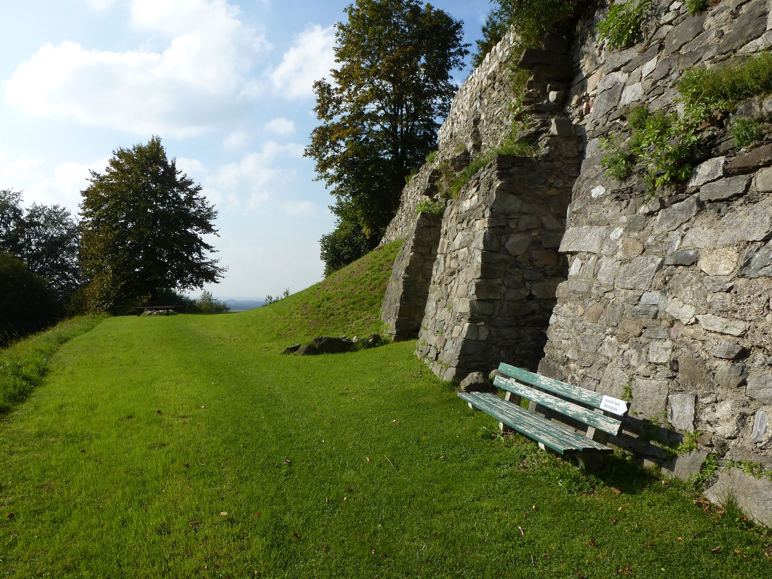
Well signposted "teaching trail" through the history of Schnaitsee and its surroundings.

Historischer Rundweg zur Burgruine Kling
hiking tour- Starting point
- Location Schnaitsee
- distance 10.4 kilometres
- duration 00:00 hours
- maximum altitude 652 meters
- minimum altitude 537 meters
- altitude difference 188 ascending
- altitude difference 179 descending
intermediate
difficulty
Tour description:
At the stations, the hiker will find information boards about the importance of Schnaitsee in the Middle Ages, the development of the landscape, the history of the Berg ministerial seat and vicarage, about the former Kling Castle, the Wasenmeister von Moos and the historic Kapuzinerweg.
The trail offers magnificent views to the south and west; it runs mostly on tarred side roads, but also on meadow paths, old ravines and through an extensive forest.
Schnaitsee - Obernhof - Garting - Fernbromberg - mountain - mountain lake - Kling castle ruins - Moos - Zansham - Kapuzinerweg - Schnaitsee
Recommended months for this tour
- January
- February
- March
- April
- May
- June
- July
- August
- September
- October
- November
- December
Downloads
- Tour as a PDF file (PDF)
- Tour as a GPX file (GPX)
- Tour as a KML file (KML)
Huts along the tour

Bräustüberl Baderbräu Schnaitsee
The home-brewed beers and Baderbräu snacks can be enjoyed in the cozy Bräustüberl or, in good weather, in the small but lovely beer garden.
Learn more