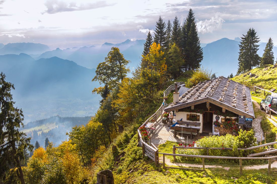
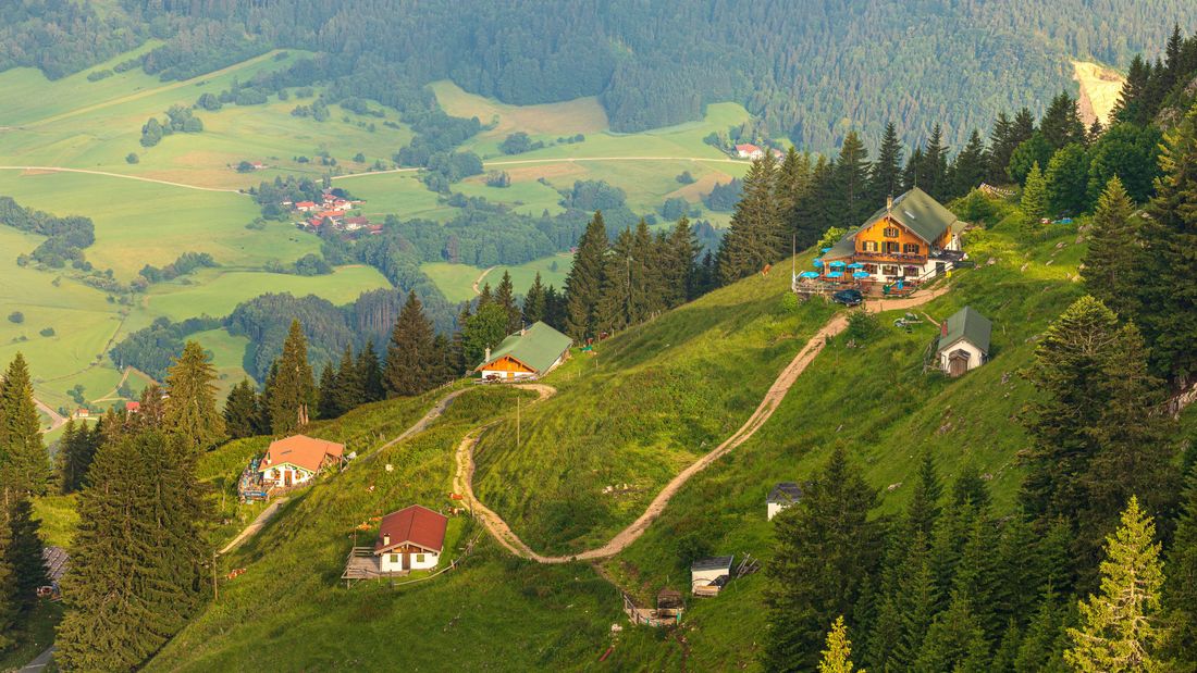
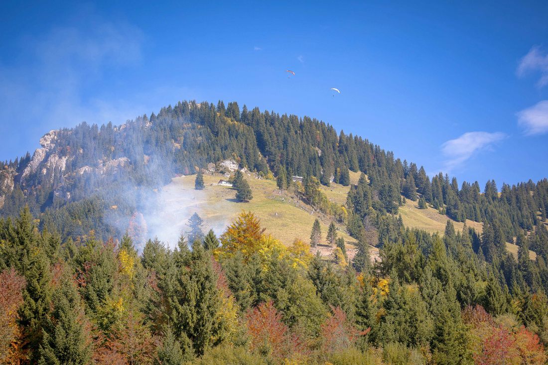
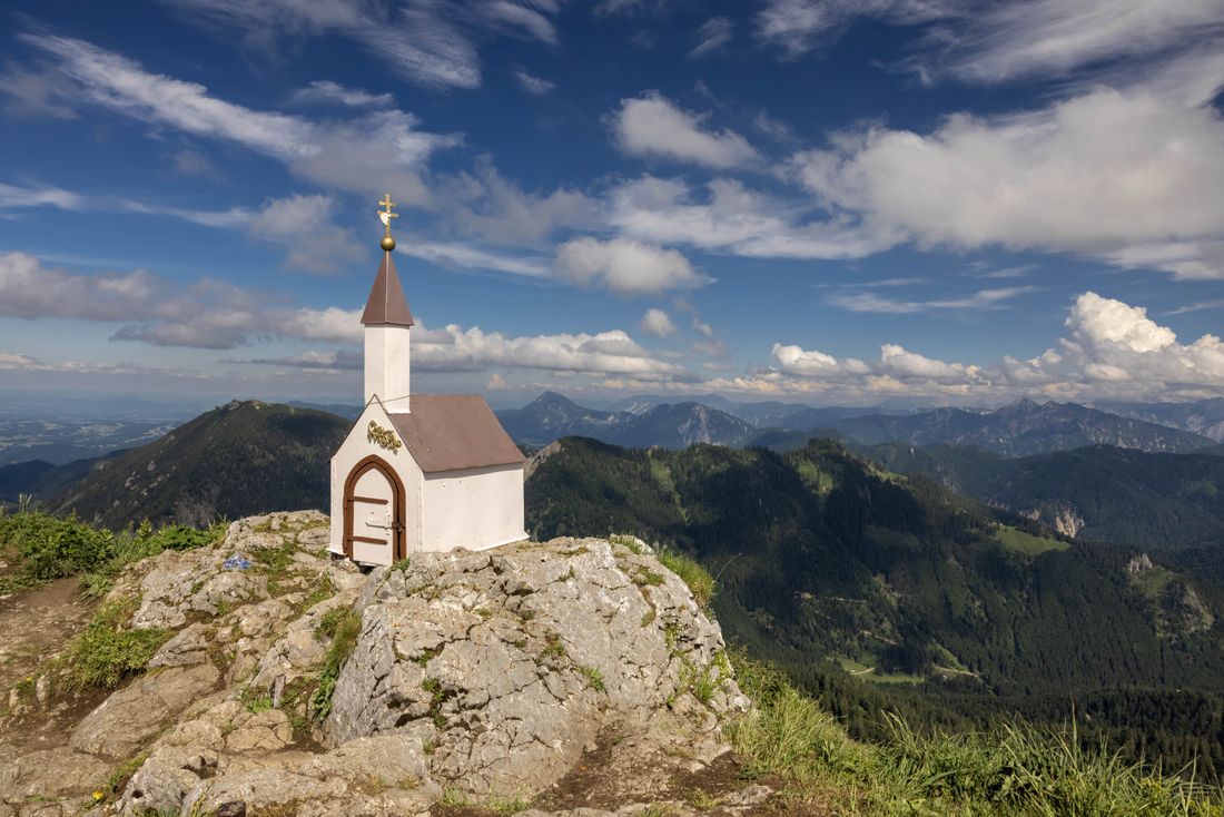
Hochgern summit above Staudacheralm and Hochgernhaus (from the Freiweidach hiking car park)
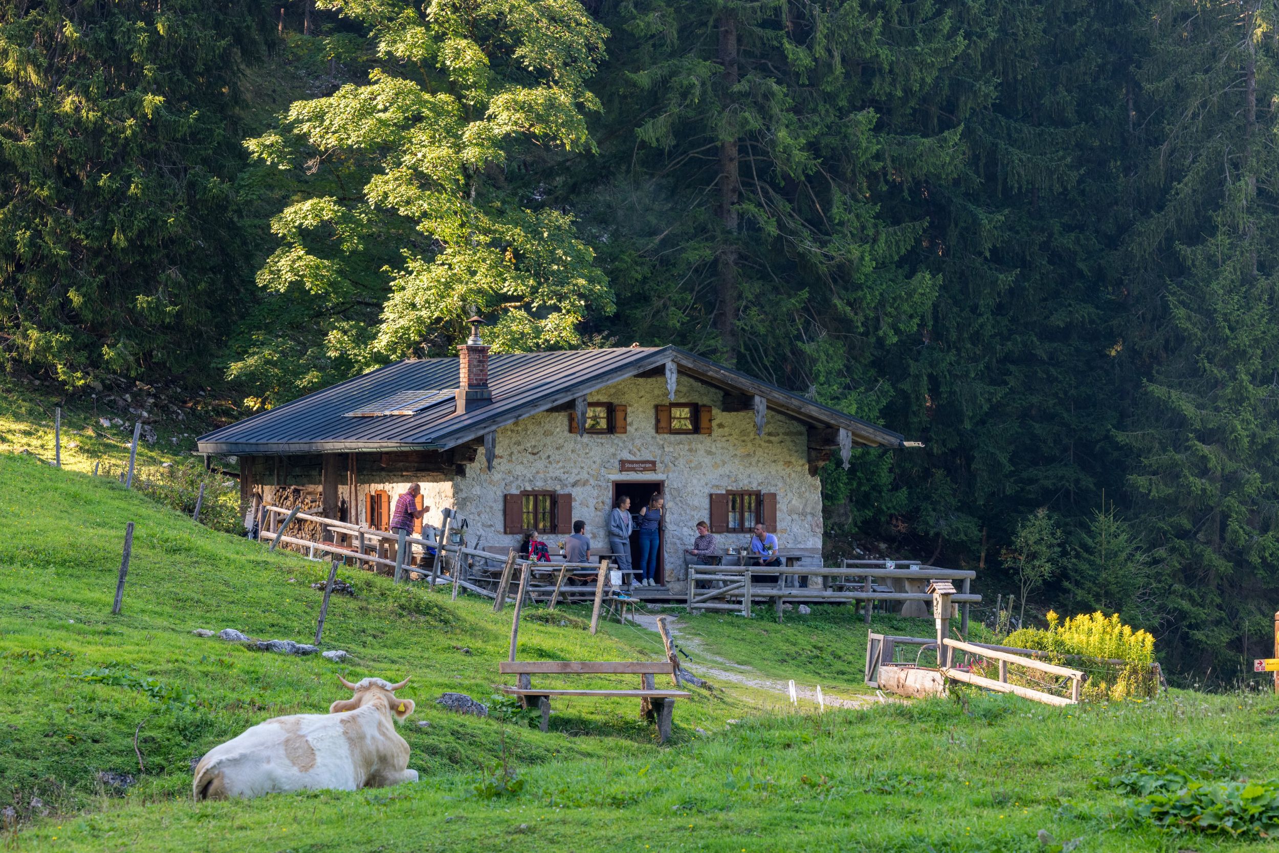
Hochgern summit via Staudacheralm and Hochgernhaus (from hiking car park Freiweidach)
hiking tour- Starting point Hiking car park Freiweidach
- Location Marquartstein
- distance 17.3 kilometres
- duration 08:45 hours
- maximum altitude 1748 meters
- minimum altitude 541 meters
- altitude difference 1239 ascending
- altitude difference 1239 descending
Tour description:
From the end of the village in Freiweidach we follow the sign in the direction of Staudacheralm. Once we arrive in Staudach we continue the hike through a beautiful beech forest and continue in the direction of Staudacheralm. We walk past the alpine pasture in the direction of Hochgern. The path takes us up a sweaty steep climb in bends to the Hochgernsattel and then to the left to the summit. From the summit we have a view of the Chiemsee and the entire Chiemgau. To return to the starting point we use a different route via the Hochgernhaus, then downhill via the Agersgschwendt Alm and we reach the hiking car park. We now head in the direction of Staudach-Egerndach and return to the starting point of our hike.
Recommended months for this tour
- January
- February
- March
- April
- May
- June
- July
- August
- September
- October
- November
- December
Downloads
- Tour as a PDF file (PDF)
- Tour as a KML file (KML)
- Tour as a GPX file (GPX)
Responsible for the content: Achental Tourismus gKU
