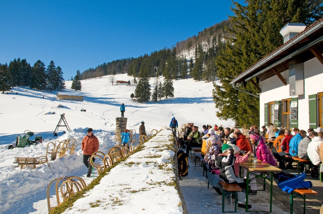
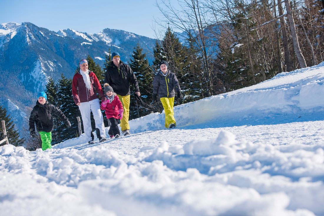
Winter hike on the mountain forest adventure trail around the Staffen.

Mountain forest adventure trail | Winter hike
Winter hiking- Starting point Mountain station of the Hochplattenbahn
- Location
- distance 3.9 kilometres
- duration 01:20 hours
- maximum altitude 1202 meters
- minimum altitude 1035 meters
- altitude difference 167 ascending
- altitude difference 167 descending
Tour description:
Interesting route on cleared winter paths for the whole family. Even in winter, you can explore the adventure stations along the way. The path takes you through snowy forests and offers varied views of the surrounding Chiemgau Alpine peaks.
Recommended months for this tour
- January
- February
- March
- April
- May
- June
- July
- August
- September
- October
- November
- December
Tips for this tour
Those who want to be on the safe side should check before the hike whether the Hochplattenbahn is open.
Downloads
- Tour as a PDF file (PDF)
- Tour as a KML file (KML)
Arrival by car
Coming from the A8 Munich-Salzburg: take the Bernau exit, then take the third exit at the roundabout towards Reit im Winkl. Drive through Bernau and Rottau on the road to Grassau. Take the second exit at the roundabout here. After leaving the town, turn right behind the chapel – here is the first signpost to the Hochplattenbahn – and follow the road to Piesenhausen. Turn right at the intersection. At the end of the road is the parking lot of the Hochplattenbahn.
Parking at the destination
Free parking at the valley station of the Hochplattenbahn.
Arrival by public transport
Achental bus line 9505 | Stop: Rathaus Marquartstein (approx. 20 minutes walk to the valley station)
