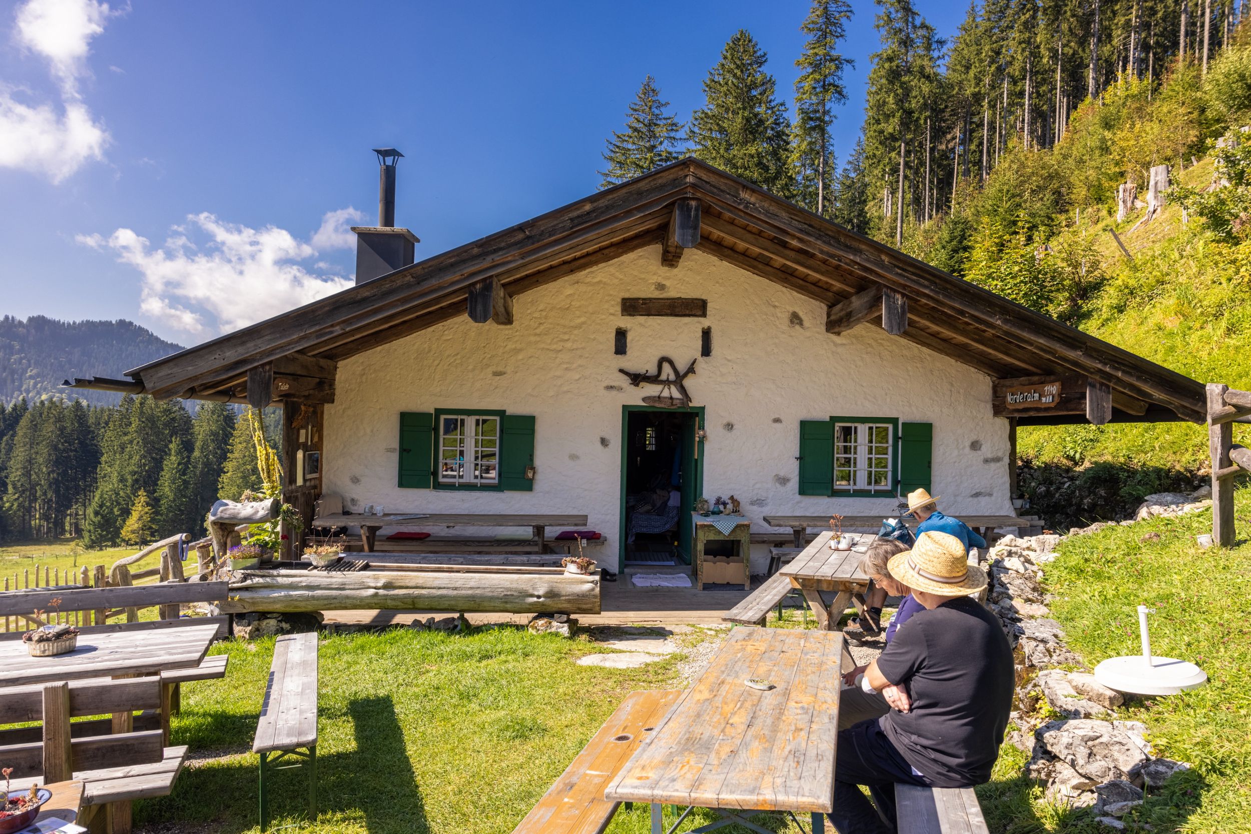
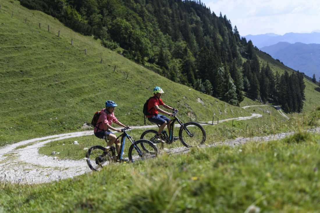
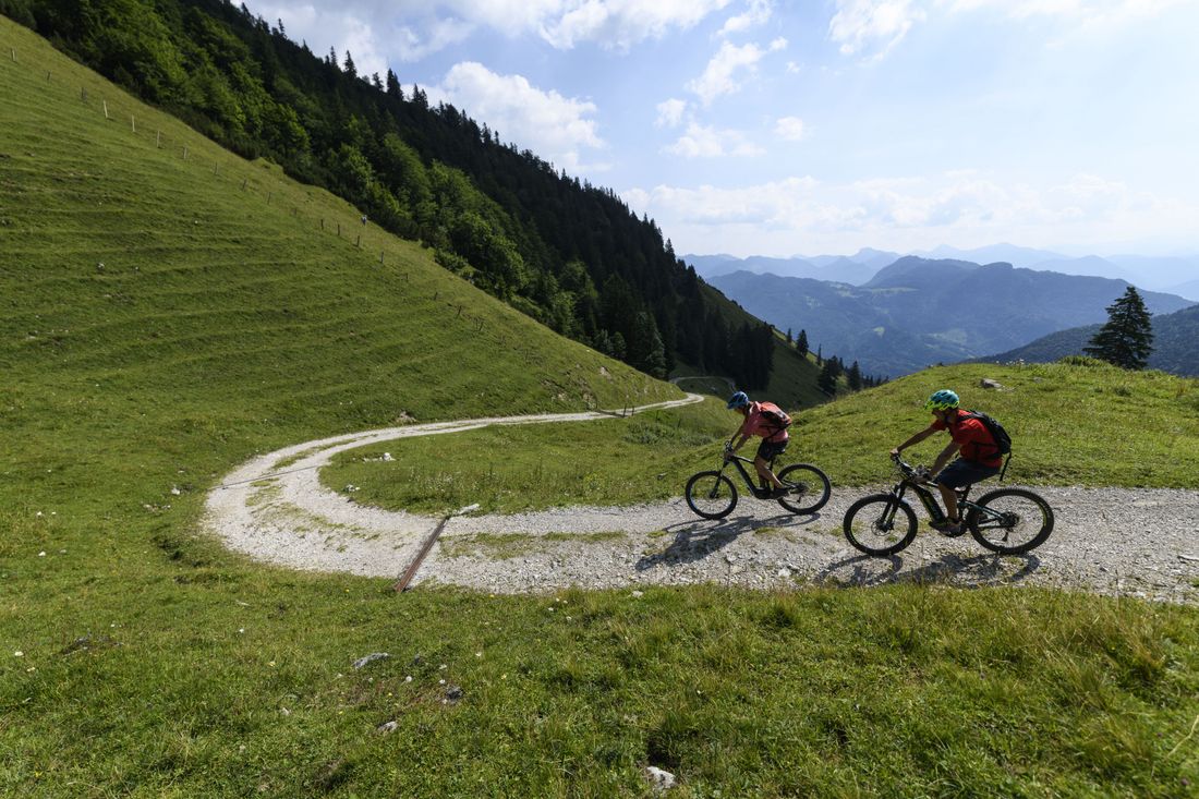
Up to the Vorderalm

MTB 30 Vorderalm Bike and Hike
tour- Starting point Staudach-Hochgern car park
- Location Staudach-Egerndach
- distance 28.4 kilometres
- duration 03:45 hours
- maximum altitude 1178 meters
- minimum altitude 529 meters
- altitude difference 800 ascending
- altitude difference 800 descending
intermediate
difficulty
Tour description:
Starting point in Staudach-Egerndach (wood storage area Mühlwinkl). Past the church and on the bike path towards Bergen. Through Avenhausen, after approx. 700m, turn right in the direction of Straßberg. Follow the forest road to the first crossroads (800 m ascent). Always follow the wide forest road straight ahead (never turn off!). Past the Bairer-Alm to a short descent. Then keep right to the Vorderalm.
Recommended months for this tour
- January
- February
- March
- April
- May
- June
- July
- August
- September
- October
- November
- December
Downloads
- Tour as a PDF file (PDF)
- Tour as a GPX file (GPX)
- Tour as a KML file (KML)
Responsible for the content: Achental Tourismus gKU

