Sporty, varied tour with countless natural beauties on the way. Please note the orientation text given in the description.
MTB 83 Sonntagshorn Loop (Reit im Winkl)
tour- Starting point Seegatterl car park
- Location Reit im Winkl
- distance 66.0 kilometres
- duration 07:30 hours
- maximum altitude 1175 meters
- minimum altitude 515 meters
- altitude difference 1480 ascending
- altitude difference 1480 descending
Tour description:
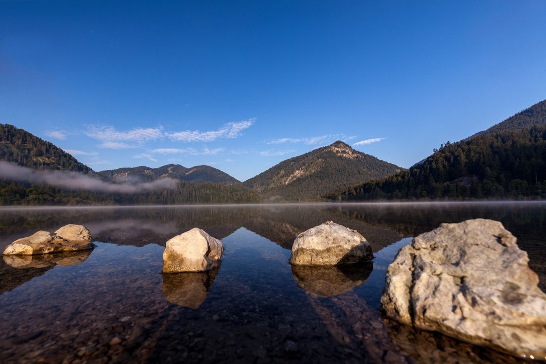
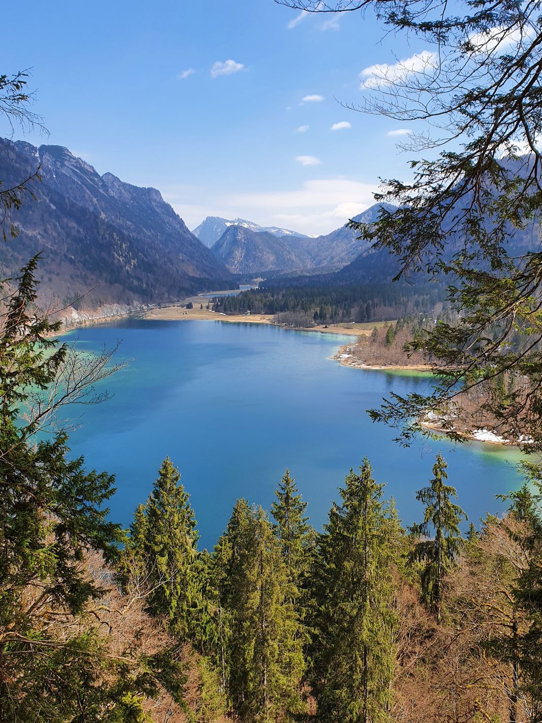
From the starting point in Seegatterl, the sporty, varied and scenically very impressive tour starts in the direction of the three lakes area. On the well-paved, gravelly forest path, it goes past lake Weitsee and on to lakes Mittersee and Lödensee.
The path continues parallel to the German Alpine Road to the Gasthof Seehaus, where you now cross the road. From the biathlon stadium, follow the route in the direction of Kaitlalm, Schwarzachenalm. Over the Fuchswiese you come to a wooden bridge, which invites you to take a short rest: pause here for a moment and look towards the river bed. Could be somewhere in Canada, right?
Follow the Salinenweg over the bridge to the right in the direction of Schwarzachen-Kaitlam, Sonntagshorn. Now it goes slightly uphill, slightly downhill on gravelly but easily passable forest road. We leave the Bichleralm as well as the Harbachalm on the left and follow the signs “Weißbach / Schneizlreuth”. In the direction of Weißbach, the first route goes parallel to the main road towards Schneizlreuth on a cycle path along the Weißbach.
At the Ederbauer hikers' car park, turn left over the bridge and you now have an approx. 2km long, slightly downhill section of the road in front of you. Shortly before Schneizlreuth, change to the Saalach cycle path, which runs parallel to the main road. In the village of Melleck, follow an old road, past the Motzenwirt, further over the customs office and finally turn right in the direction of “Gsengsteig, Unken”.
As far as Unken, the path now goes steadily uphill, not steep but always with smaller climbs. The tour leads past the Reitbauer-Hof in Unken to a crossroads, from which the path now leads uphill to the right in the direction of "Eggerkreuz, Kalvarienberg, Heutal ..".
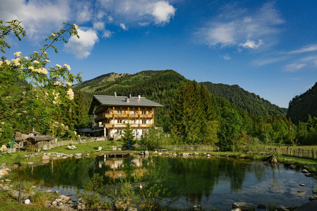
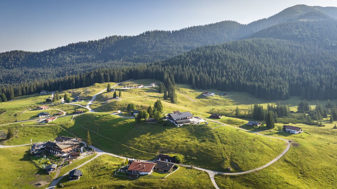
You cycle steeply uphill through several serpentines until you reach the Heutal valley after about 5km. There you can take a long rest at the Heutaler Hof before climbing a steep section over the mountain forest to the Winklmoos-Alm.
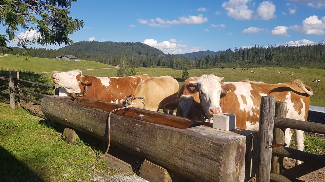
From the Winklmoos-Alm you follow the tour on the signposted forest path down to the starting point Seegatterl.
Orientation text: This tour runs in the border area Salzburger Land and is signposted by the tourism associations responsible there. Follow the signs after crossing the border. Furthermore, we recommend a navigation device (cell phone, GPX device) and careful planning before starting!
Recommended months for this tour
- January
- February
- March
- April
- May
- June
- July
- August
- September
- October
- November
- December
Downloads
- Tour as a PDF file (PDF)
- Tour as a KML file (KML)
- Tour as a GPX file (GPX)
Responsible for the content: Tourist Info Reit im Winkl
