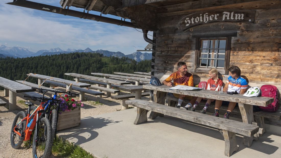
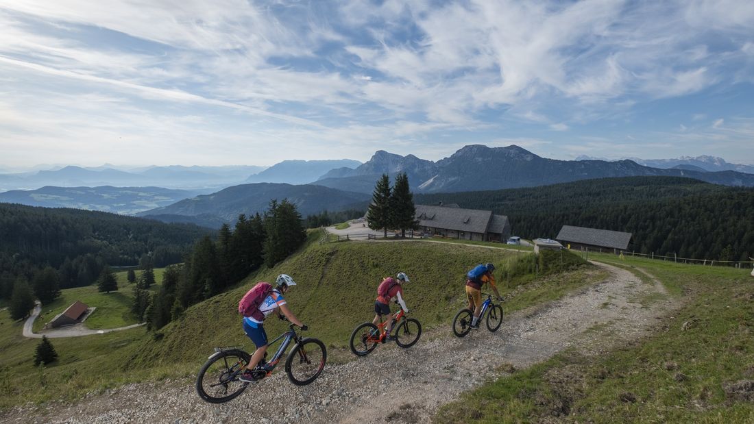
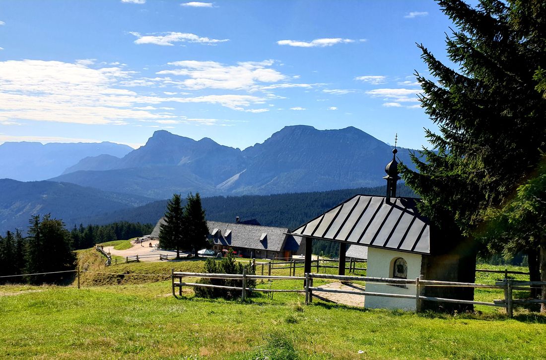
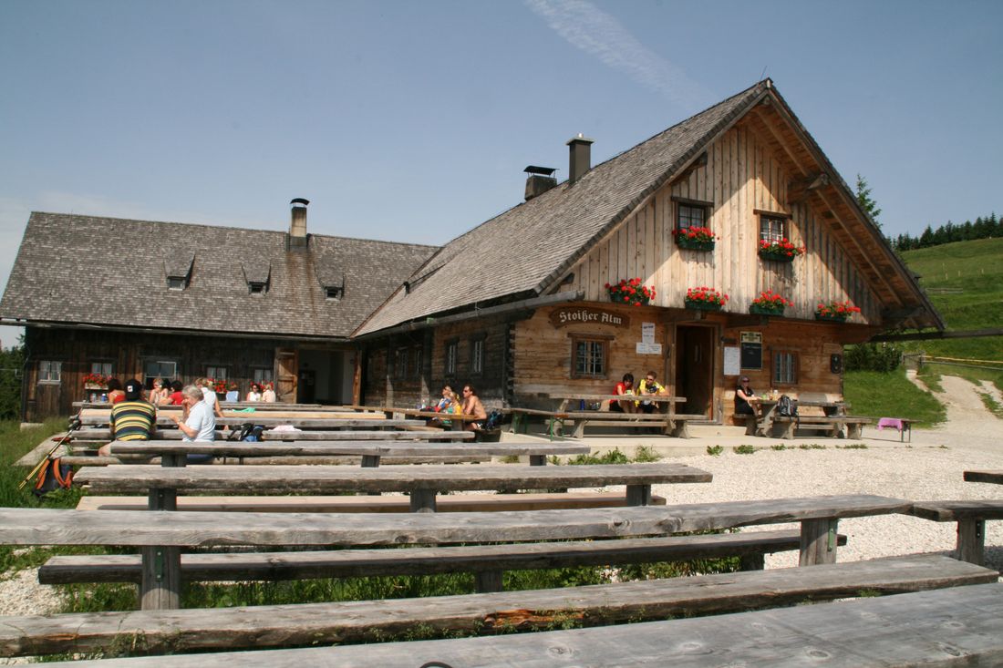
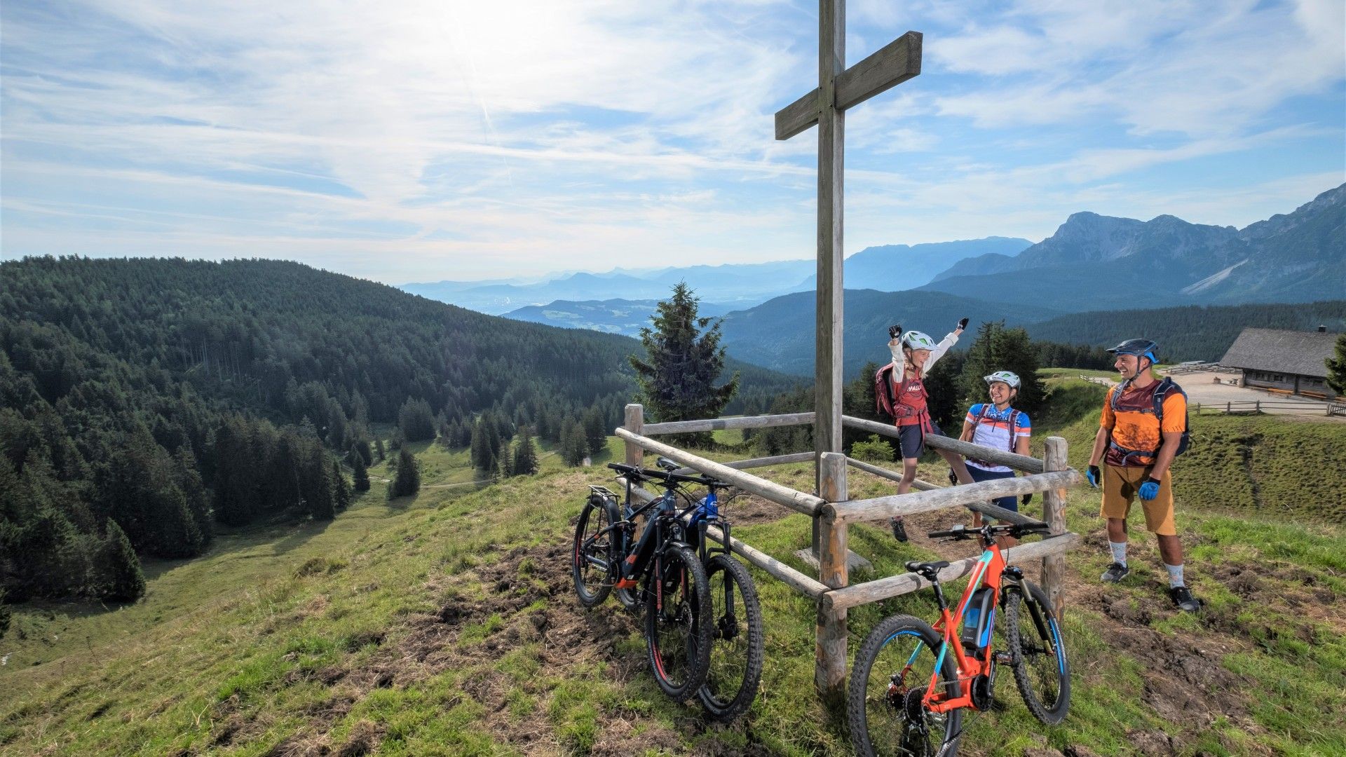
The goal and highlight of the MTB classic is the managed Stoißeralm with the impressive panoramic view of the Salzburg region.
MTB 96 Stoißeralm-Teisenberg Runde Inzell
tour- Starting point nobility
- Location incell
- distance 20.0 kilometres
- duration 02:30 hours
- maximum altitude 1290 meters
- minimum altitude 701 meters
- altitude difference 699 ascending
- altitude difference 699 descending
Tour description:
Route: Adlgaß (805 m) - Inzellerhöhe (912 m) - Stoißeralm (1272 m) - Hubertushütte - Farnbichl - Obergschwendt - Holzen - Hutterer - Brenner - Teisenberg - Einsiedl - Adlgaß
The best starting point for this tour is the parking lot at the Forsthaus Adlgaß , four kilometers east of Inzell at an altitude of 805 meters. On the best roads, you start along the creek uphill - flat at first, then steeper - to the Inzellerhöhe. Here you follow the signs in the direction of the Stoißeralm . The wide forest path runs quite steeply through shady mixed forest up to the Alm. This is enthroned on a beautiful clearing and offers the best view towards Salzburg, the Hochstaufen and far into the Berchtesgaden Alps . Behind the Stoißeralm you drive slightly uphill through an alpine pasture area, then crosses a small forest (short stretch) and takes a narrow path downhill to the south. Soon you come to a wide forest path and turn sharp right, past the Hubertushütte. Later you follow a left-hand bend to the south, come to Farnbichl and continue steeply downhill to Obergschwendt . A wide gravel path leads via Holzen and Hutterer to the district of Brenner. Here you go on an asphalt road to Einsiedl and continue on a narrow meadow path back to the starting point at the forester's lodge Adlgaß. Attention E-MTBers: This medium-difficult route contains steep gradients, it is better to push briefly here!
Highlight: stop and view from the southern terrace of the Stoißeralm
Information: Tourist Info Inzell, Rathausplatz 5, Tel. 0 86 65/9 88 50, www.inzell.de
Recommended months for this tour
- January
- February
- March
- April
- May
- June
- July
- August
- September
- October
- November
- December
Downloads
- Tour as a PDF file (PDF)
- Tour as a GPX file (GPX)
- Tour as a KML file (KML)
Arrival by car
From the B306, turn onto Adlgaßer Straße in the direction of Adlgaß. Follow the road to the Adlgaß hiking car park.
