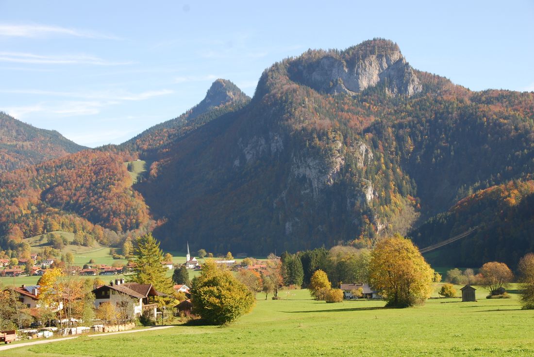
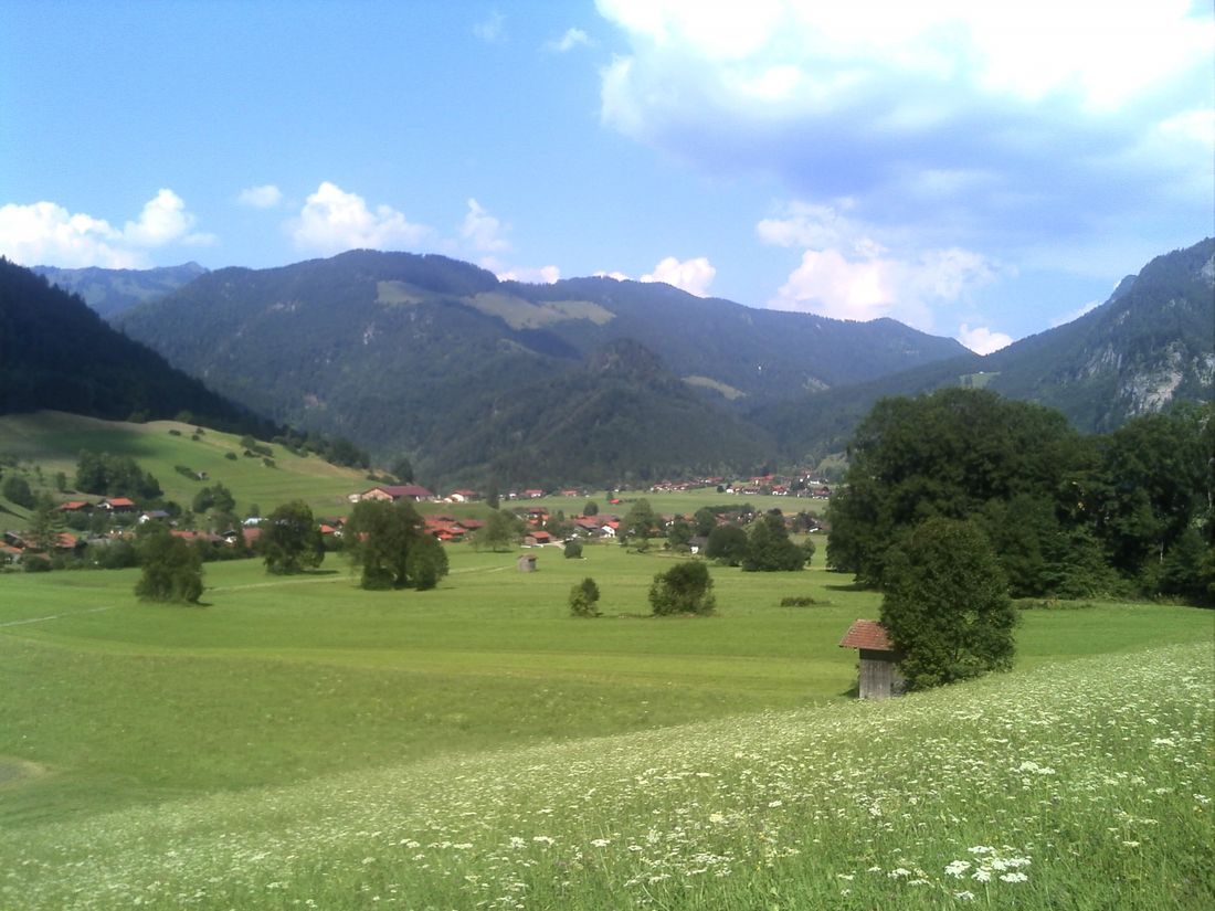
Pleasure hike with deep views of the high valley of Oberwössen.

Circular hike Hinterwössen
hiking tour- Starting point Taubenseepark Hinterwössen
- Location underwear
- distance 5.2 kilometres
- duration 01:30 hours
- maximum altitude 805 meters
- minimum altitude 636 meters
- altitude difference 217 ascending
- altitude difference 246 descending
Tour description:
Taubensee car park-Hinterwössen - Glockenbichl - Hochfeld - Langwiese - Taubensee car park-Hinterwössen From the Taubensee hikers' car park in Hinterwössen, follow the signs to the Glockenbichl to the left. The slightly uphill path offers you a magnificent view of the high valley. Now it goes down again to the Schlosserbach. Follow this to the right and cross Taubenseestraße at the children's playground and then follow the Moosbach to Sonnenbichlstraße. Follow Sonnenbichlstraße to the right and then turn left in front of the residential buildings. Here the path leads again slightly uphill to the Hochfeld. From here, too, you have a deep view of the high valley. You follow the path through the forest and descend via the Langwiese back to the starting point. The great view of the high valley of Oberwössen will inspire you. Refreshment stops: Erlebniscafé Ton und Mehr in Brem, Meinecke bakery or Poststüberl in Oberwössen (please note the opening times)
Recommended months for this tour
- January
- February
- March
- April
- May
- June
- July
- August
- September
- October
- November
- December
Downloads
- Tour as a PDF file (PDF)
- Tour as a GPX file (GPX)
- Tour as a KML file (KML)
Responsible for the content: Achental Tourismus gKU

