The enormously varied, but also strenuous stage of the SalzAlpenSteig takes us from Inzell over moorland, Weißbach falls to the center of Bad Reichenhall.

SalzAlpenSteig - Inzell - Bad Reichenhall
hiking tour- Starting point Tourist Information Inzell
- Location incell
- distance 22.2 kilometres
- duration 06:25 hours
- maximum altitude 767 meters
- minimum altitude 466 meters
- altitude difference 678 ascending
- altitude difference 900 descending
Tour description:
Tourist Information Inzell (Rathausplatz 5) - Alte Säge - Schmelz - Wildenmoos - Weißbach - Weißbachschlucht - Thumsee - Tourist Information Bad Reichenhall (Wittelsbacherstr. 15)
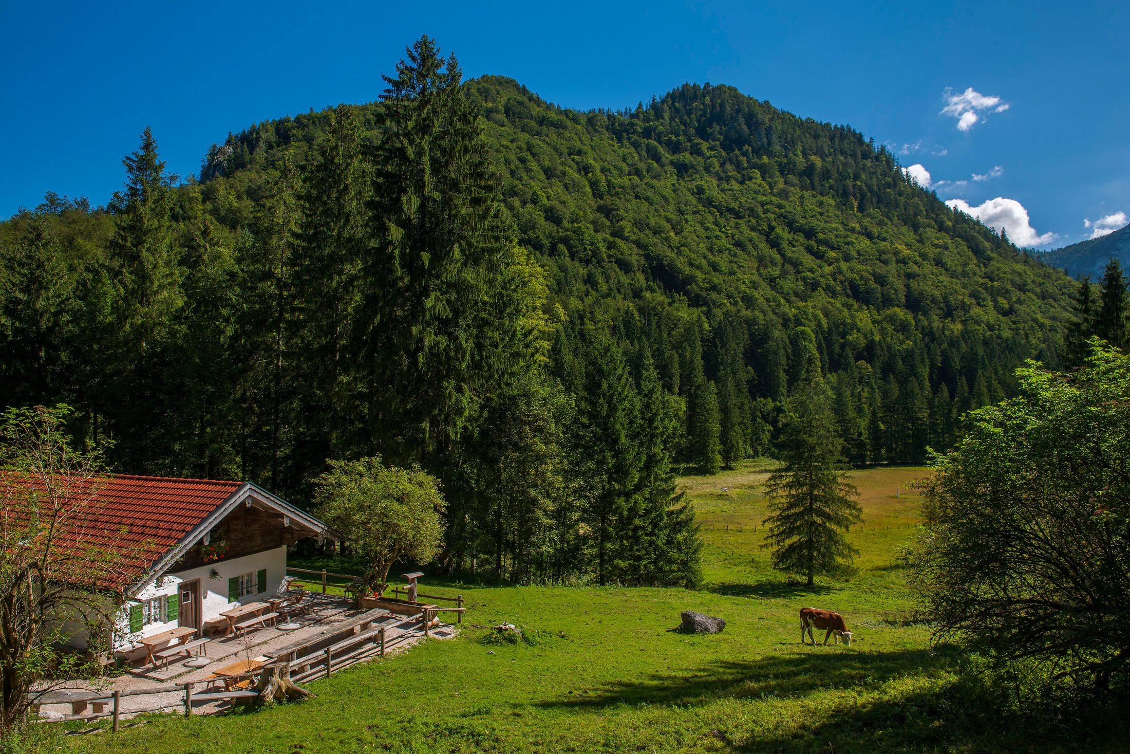
From the health resort of Inzell we hike to the old saw and through a small moor area . It continues over lush meadows with comfortably grazing cows , from where you have a beautiful view of the Kienberg (1135 m), the Falkenstein (1181 m) and also back to Inzell . After crossing the village of Schmelz, the stage takes hikers past the Wildenmoos and then on to the Weißbach. This hike is particularly interesting due to its strong connection to salt - there are always information boards and explanations about salt production , the Trift (wood transport over water) and Inzell's salt industry . Consider, for example, surcharge water pipes (to operate the brine pumps) and brine pipes in the field. On the beautiful path along the Weißbach we come to Weißbach on the Alpenstraße and finally reach the wild and romantic Weißbachschlucht .
Then we hike for a while on a hill through the forest, from where we can already admire the wonderful blue of the Thumsee , where we immediately take a break with a view over the lake . Now only one last (strenuous) ascent to the mayoral height separates us from our stage destination Bad Reichenhall .
You can find out about places to stop off at the Tourist Information Inzell (Tel. +49 8665 / 98 850)
Recommended months for this tour
- January
- February
- March
- April
- May
- June
- July
- August
- September
- October
- November
- December
Downloads
- Tour as a PDF file (PDF)
- Tour as a GPX file (GPX)
- Tour as a KML file (KML)
