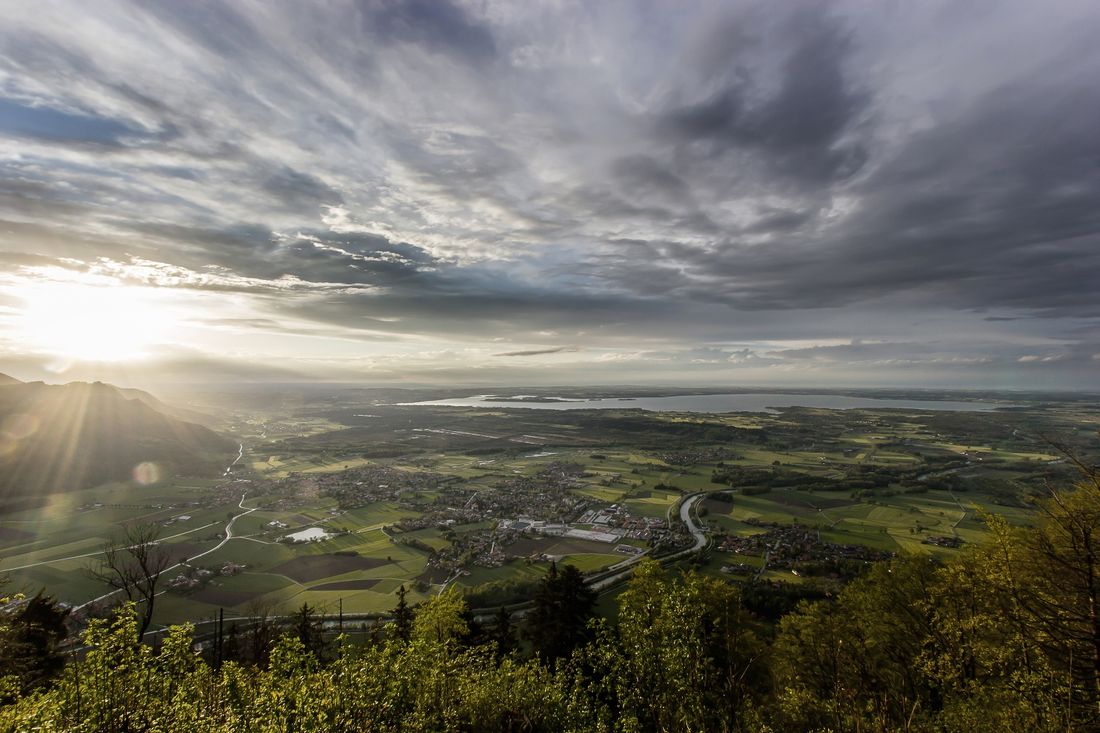
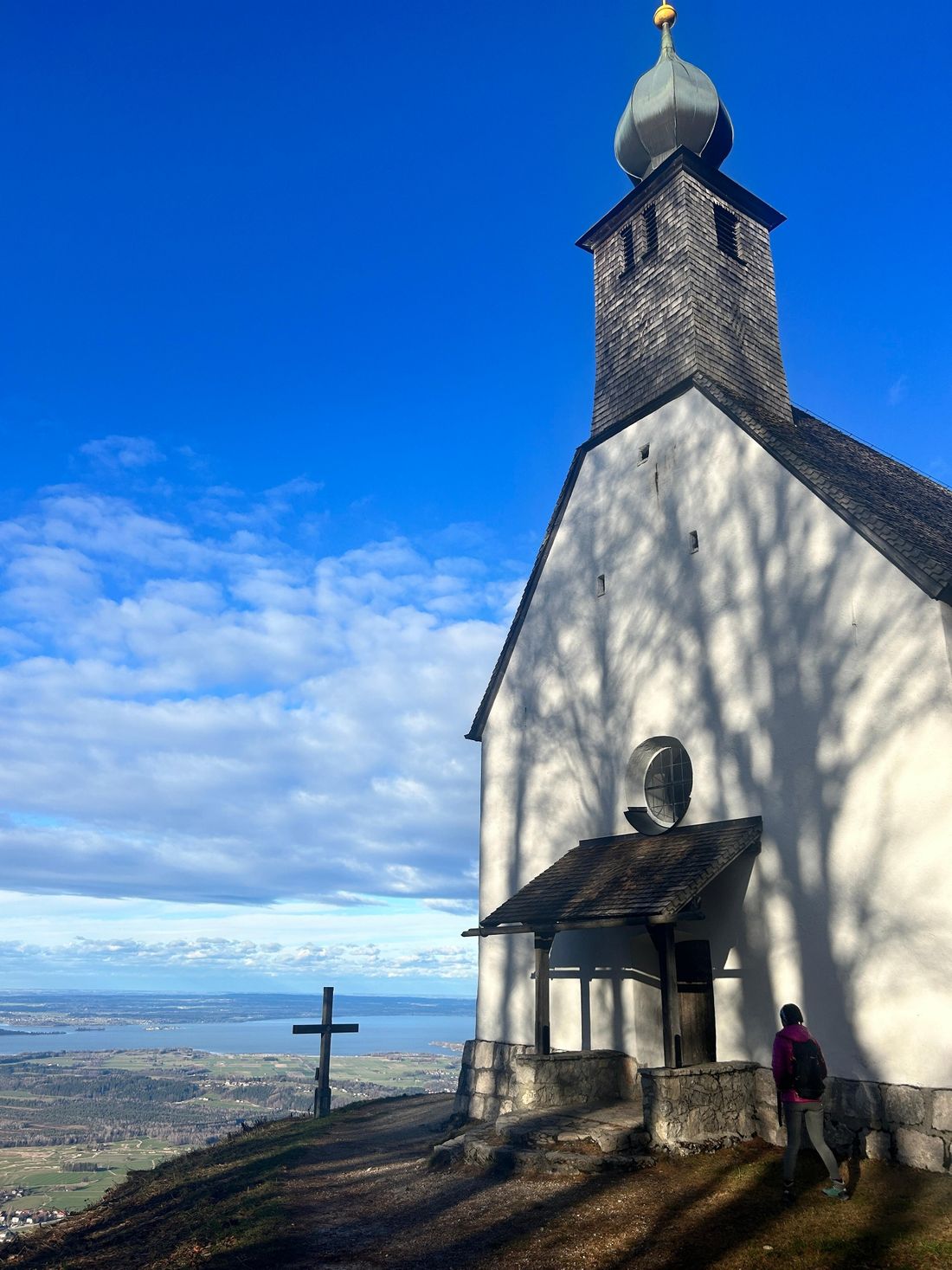
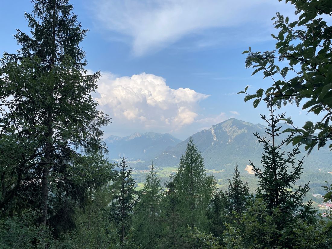
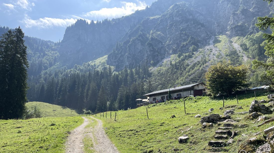
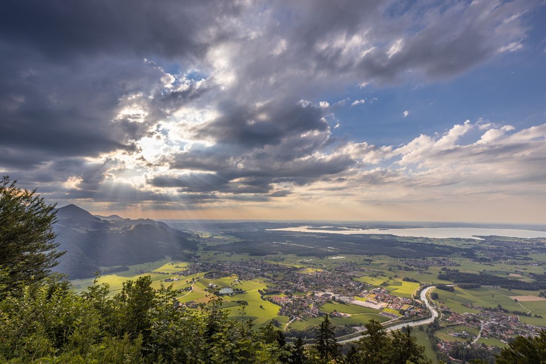
Route with Almeinkehr and magnificent views over Grassau & Rottau and the Chiemsee.
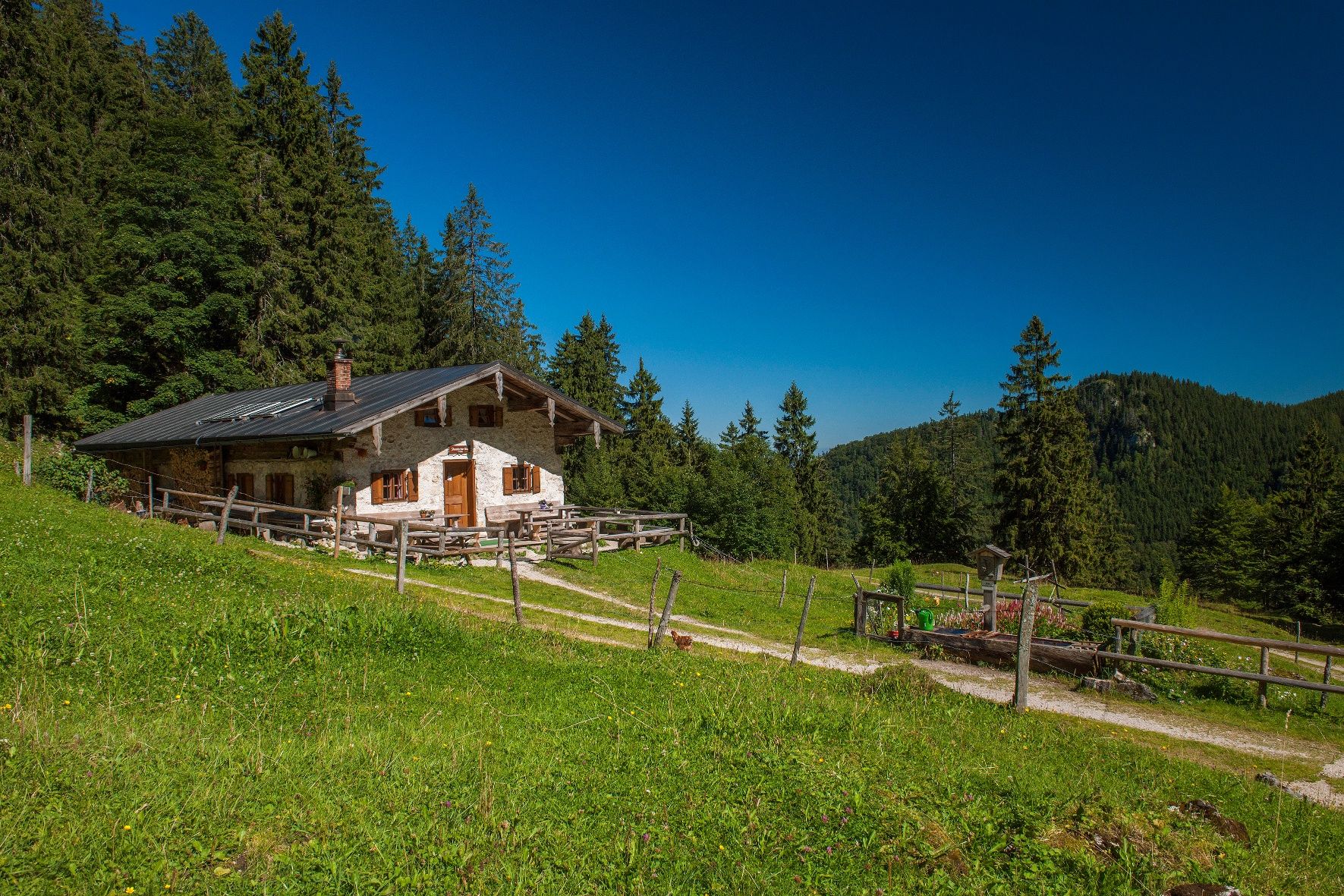
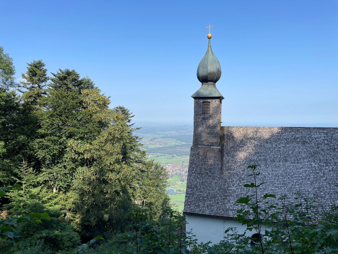
Schnappenkirche with Almeinkehr | summit route
hiking tour- Starting point Marquartstein hiking car park
- Location
- distance 12.4 kilometres
- duration 04:15 hours
- maximum altitude 1194 meters
- minimum altitude 539 meters
- altitude difference 703 ascending
- altitude difference 703 descending
Tour description:
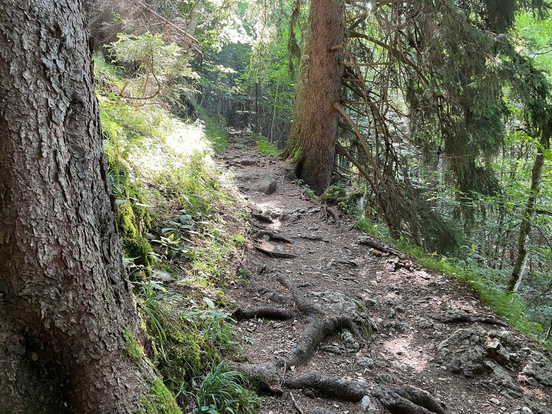
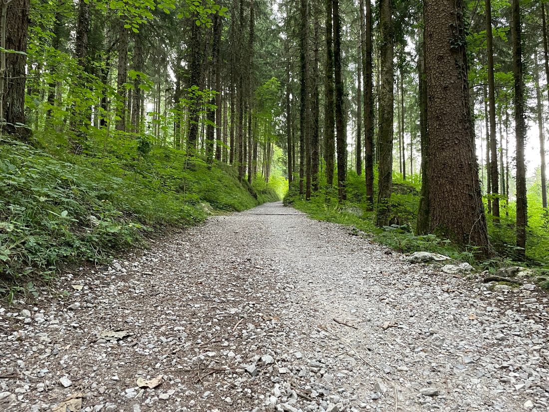
The route to the Schnappenkirche, one of the best viewpoints in the Chiemgau, starts at the hiking car park in Marquartstein. Steadily uphill, you reach the little church after about 1 1/2 hours. From here, you can enjoy a magnificent view over the Chiemsee and the surrounding towns. The route continues on to a stop at the Staudacher Alm. Turning back in the direction you came, keep left towards the Staudacher Alm, which you reach after about 30 to 40 minutes. To return to the starting point, continue from the Staudacher Alm along the forest road down into the valley. Upon reaching Staudach, continue about 2 kilometers at the foot of the mountain back to the hiking car park in Marquartstein. This route to the Schnappenkirche offers not only fantastic views but also a cozy stop at a rustic alpine hut.
Tip for the hike:
- Enjoy a small snack at the Schnappenkirche with a self-brought packed lunch and the view
Recommended months for this tour
- January
- February
- March
- April
- May
- June
- July
- August
- September
- October
- November
- December
Tips for this tour
At the right time of year, numerous marmots can be observed on the Staudacher Alm.
Downloads
- Tour as a PDF file (PDF)
- Tour as a GPX file (GPX)
- Tour as a KML file (KML)
Arrival by car
Coming from the A8 in the direction of Munich: At the roundabout, take the second exit towards Reit im Winkl and follow the road through Bernau and Rottau to Grassau. At the roundabout, take the third exit and follow the road to the next roundabout. Now take the first exit towards Marquartstein. About 150 m after passing the town hall on the right, turn left into Schlechinger Straße and cross the Achen bridge. Now turn right and after about 100 m turn left into Burgstraße. The hiking car park is located at the end of the street on the right.
Parking at the destination
Hochgern hiking car park
Arrival by public transport
Arrival by Achental bus line | Stop: Marquartstein town hall (approx. 15-minute walk to the starting point)
