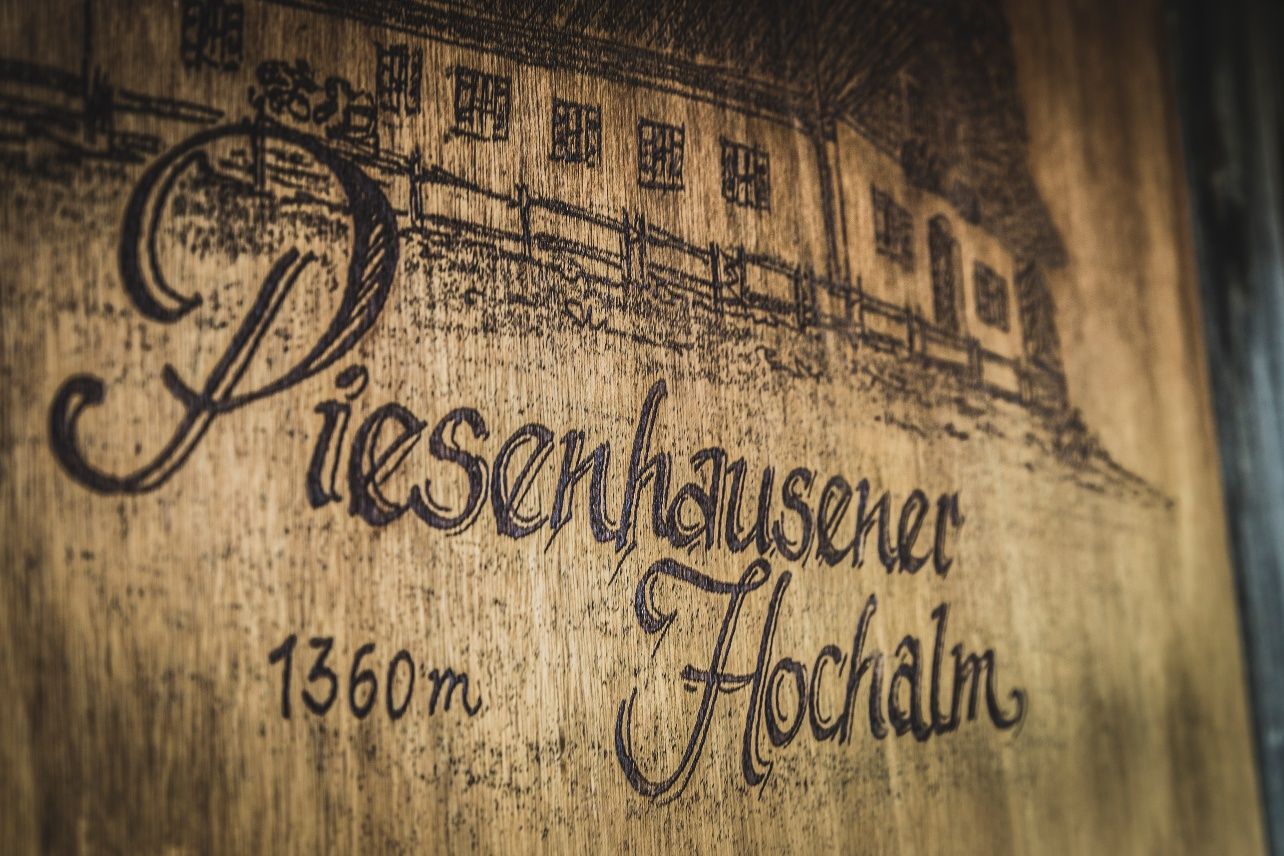
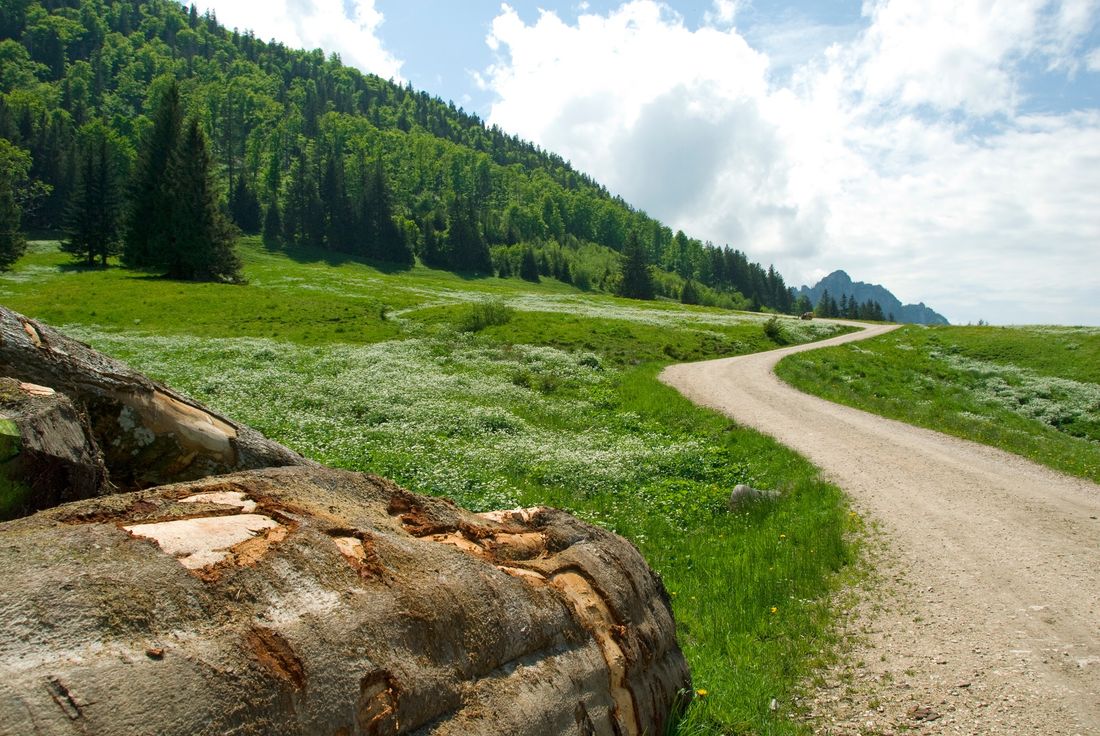
Over shady forest paths to the Piesenhausener Hochalm.

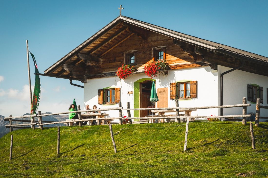
Snack at the Piesenhausener Hochalm
hiking tour- Starting point Mountain station Hochplattenbahn
- Location
- distance 7.9 kilometres
- duration 01:40 hours
- maximum altitude 1424 meters
- minimum altitude 1029 meters
- altitude difference 492 ascending
- altitude difference 486 descending
Tour description:
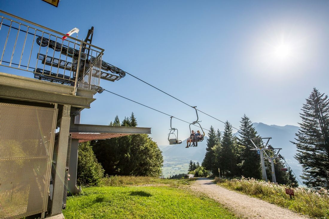
Let the Hochplattenlift take you comfortably up to over 1100 meters. From the mountain station of the Hochplattenbahn, the hiking trail leads past the Friedenrath towards the summit of the Hochplatte. As a special highlight, the Piesenhausener Hochalm offers breathtaking views – from the sparkling Chiemsee to the impressive Central Alps.
For the descent, you go back past the Hochplatte summit to the mountain station of the Hochplattenbahn.
Highlights:
- Typical alpine snack
- Breathtaking views
Recommended months for this tour
- January
- February
- March
- April
- May
- June
- July
- August
- September
- October
- November
- December
Tips for this tour
A detour of about 30 minutes leads you to the summit of the Hochplatte. There are even more impressive views over the Chiemgau and the Chiemsee.
Downloads
- Tour as a PDF file (PDF)
- Tour as a GPX file (GPX)
- Tour as a KML file (KML)
Arrival by car
Exit the A8 at Bernau. In the roundabout, take the second exit towards Reit im Winkl. Now go straight ahead through Rottau to Grassau. In Grassau, take the second exit in the roundabout. About 50m after leaving the town, turn right after the small chapel and continue to the intersection.
Now turn right and continue straight ahead. At the end of the road is a parking lot and the valley station of the Hochplattenbahn.
Parking at the destination
Parking lot of the Hochplattenbahn. This is free.
Arrival by public transport
Take bus lines 9505 or 9509 to Marquartstein town hall. From there, it's about a 20-minute walk to the valley station of the Hochplattenbahn.


