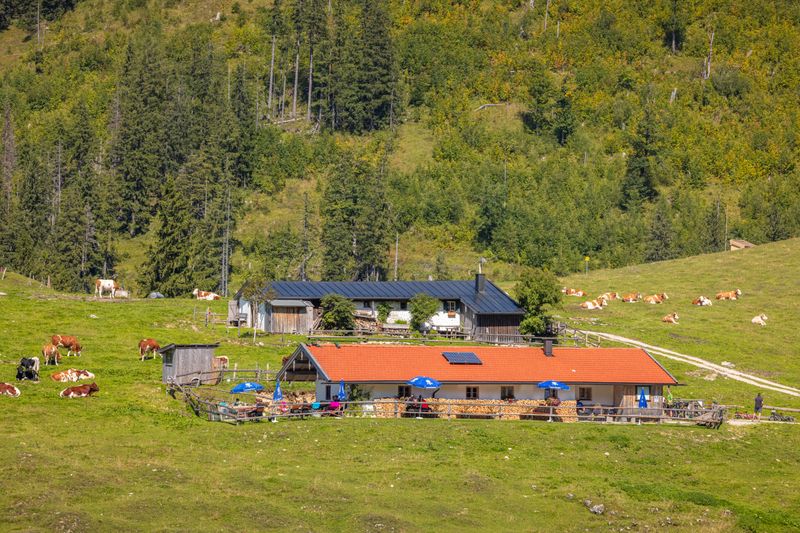
Summit hike that requires good fitness and some experience. But your hard work is rewarded with breathtaking views at the Hochgern summit.
Hochgern summit hike via Jochbergalm
hiking tour- Starting point Hochgern hiking car park
- Location Unterwössen
- distance 16.5 kilometres
- duration 08:35 hours
- maximum altitude 1744 meters
- minimum altitude 619 meters
- altitude difference 1251 ascending
- altitude difference 1251 descending
Tour description:
Hochgern hiking car park – Agerschwendalm – Moaralm – Enzianhütte – Hochgernhaus – Hochgerngipfel – Grundbachalm – Hochsattel – Jochbergalm – Hochgern hiking car park
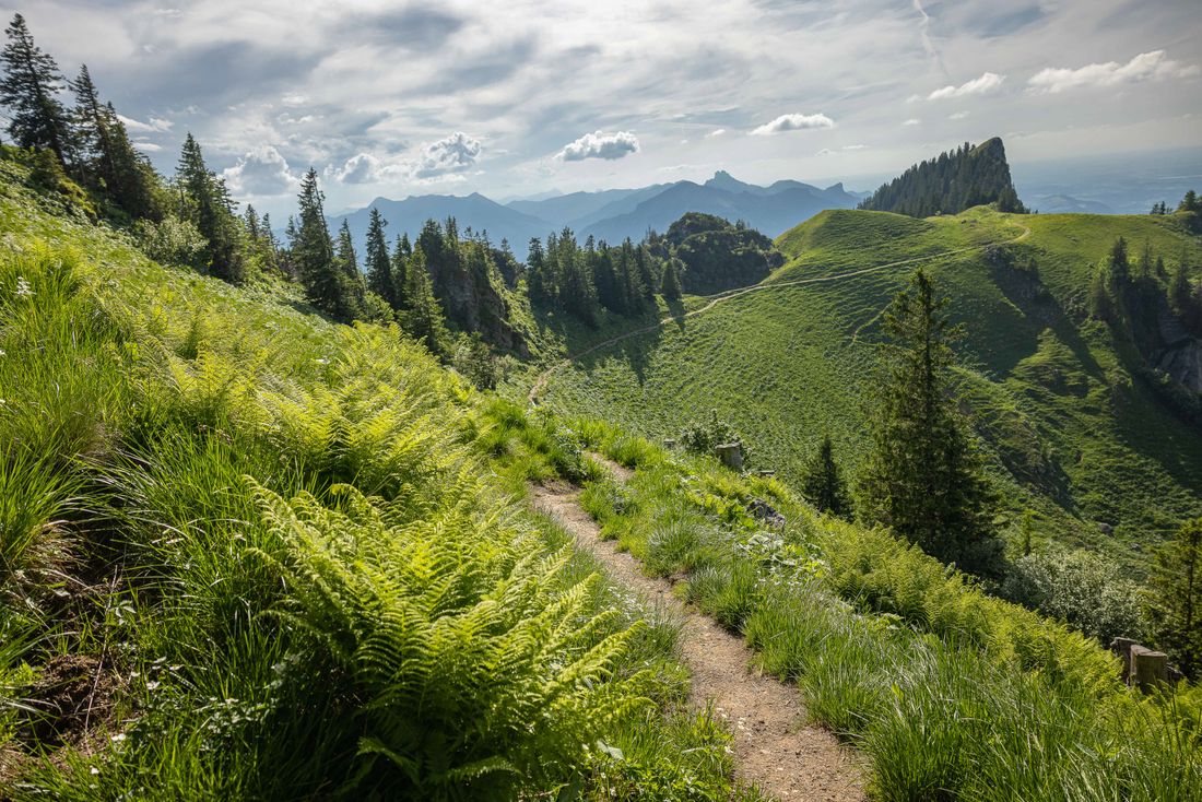
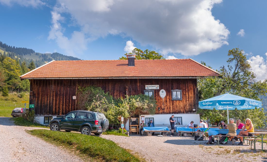
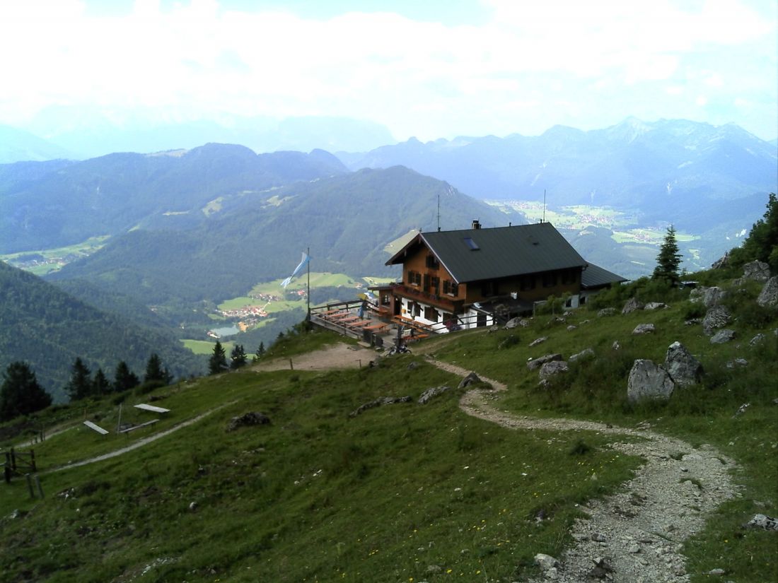
From the hiking car park, follow path no. 5 via the Agerschwendalm and the mountain guard hut to the Enzianhütte . After a short while you will reach the Hochgernhaus .
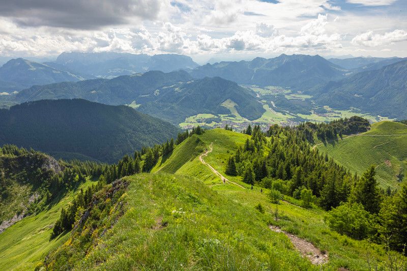
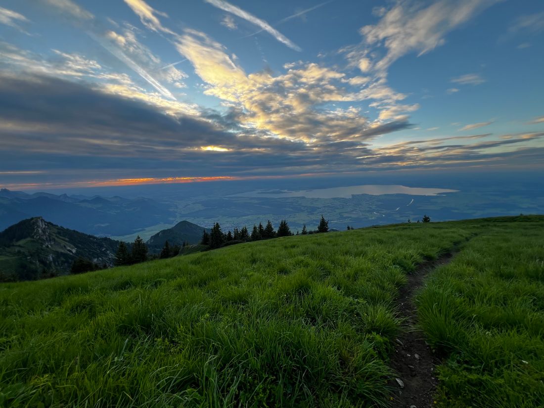
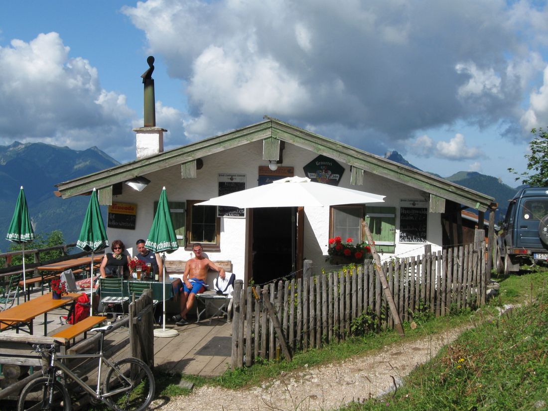
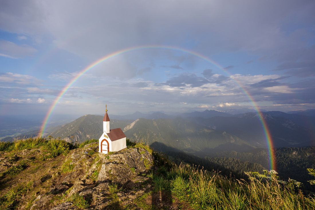
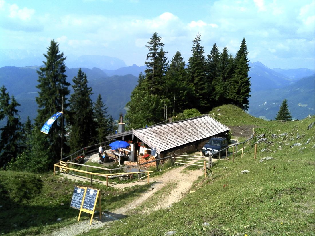
From there the path leads along a narrow mountain path directly to the 1,744m high Hochgern summit , where you are rewarded with wonderful views stretching from the Kaiser Mountains to Lake Chiemsee. However, the descent via path no. 58 requires some skill. Here a sign leads to a narrow, steep serpentine path towards Grundbachalm. Then we continue over the Hochsattel to the Jochbergalmen , where you can take a short break. Then you follow path no. 52, which leads you through the Kaltenbachtal back to the starting point.
Recommended months for this tour
- January
- February
- March
- April
- May
- June
- July
- August
- September
- October
- November
- December
Downloads
- Tour as a PDF file (PDF)
- Tour as a GPX file (GPX)
- Tour as a KML file (KML)
