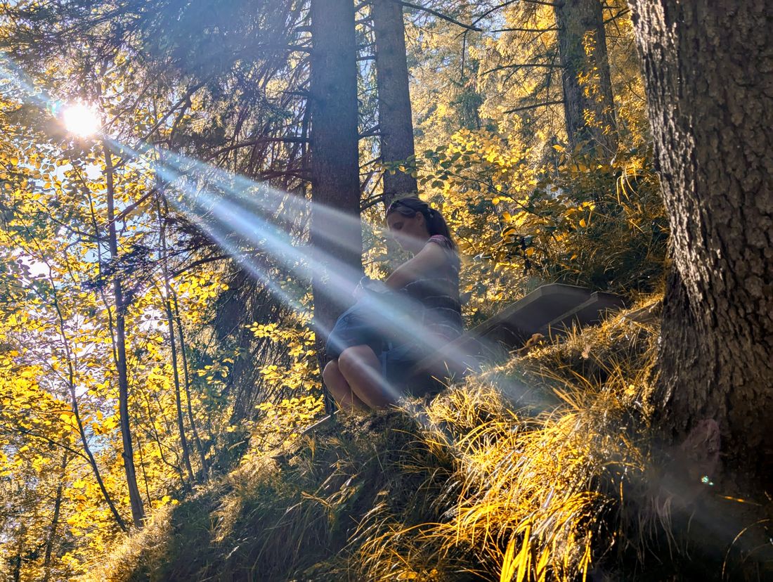
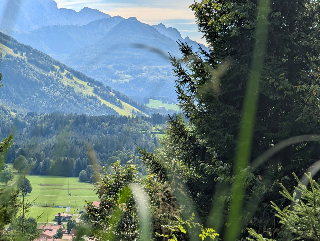
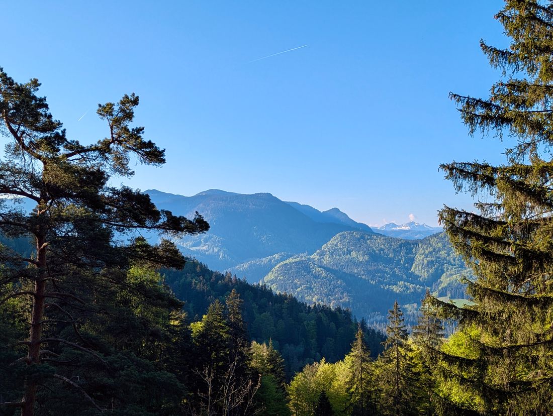
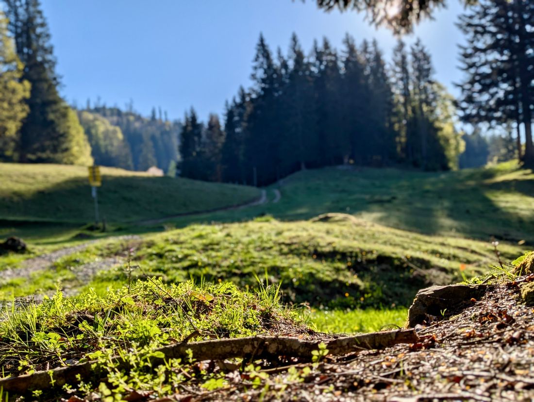
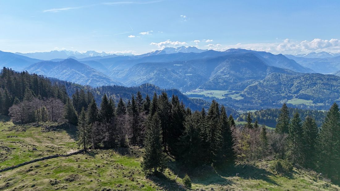
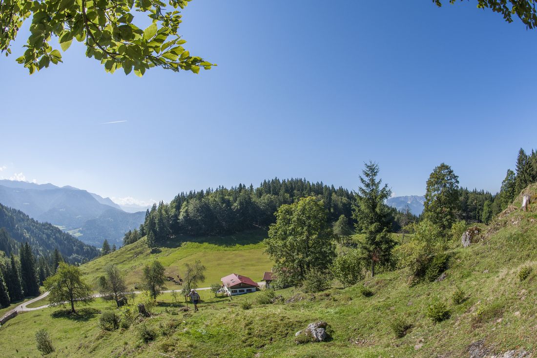
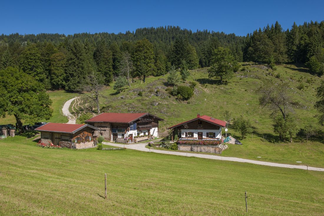
The splendid tour on old trails and through diverse landscapes, which has been awarded by the hiking institute, leads over a good 12 kilometers and a total of 1024 meters to sensational views and the very special Stoibenmöseralm.
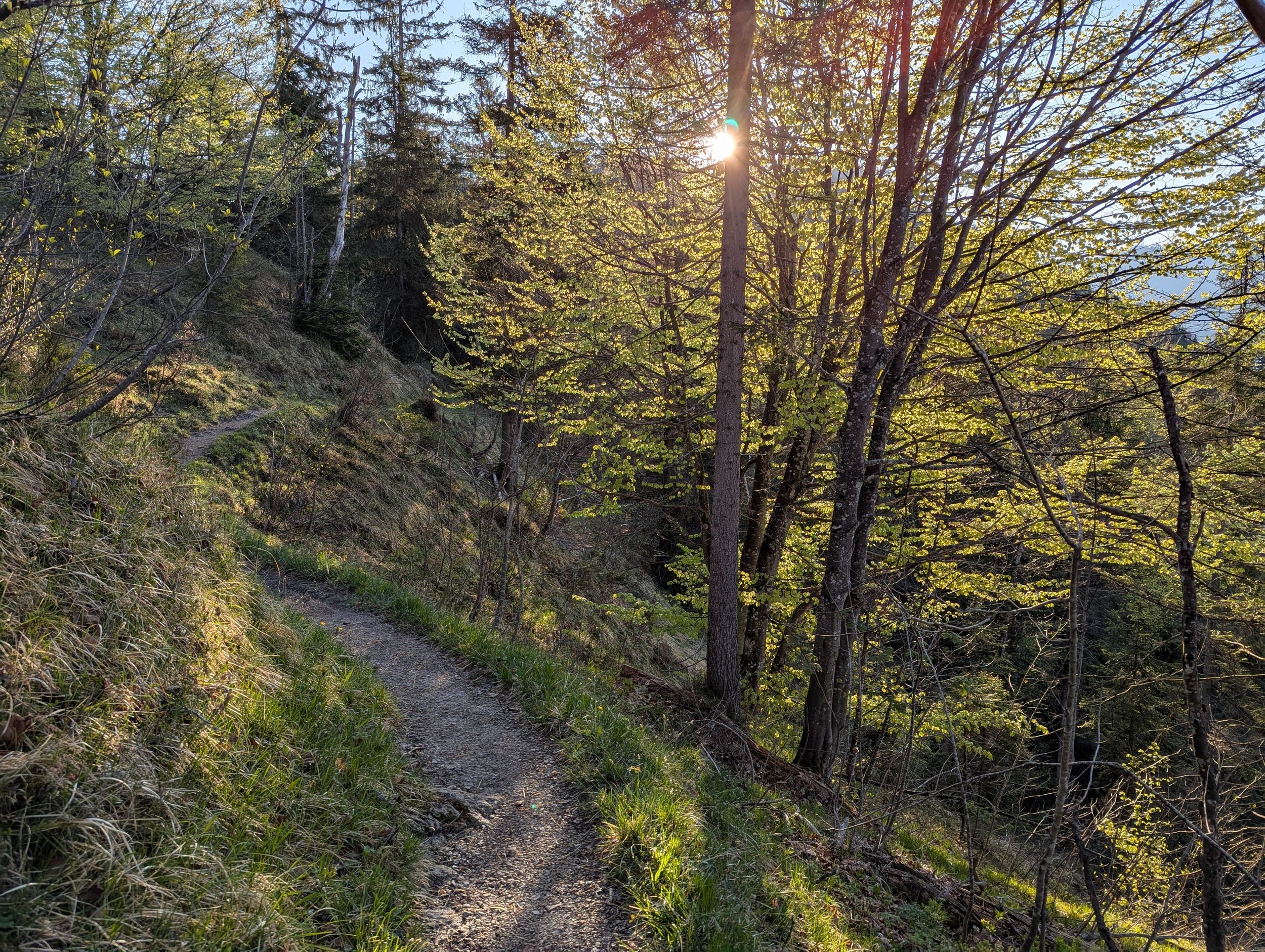
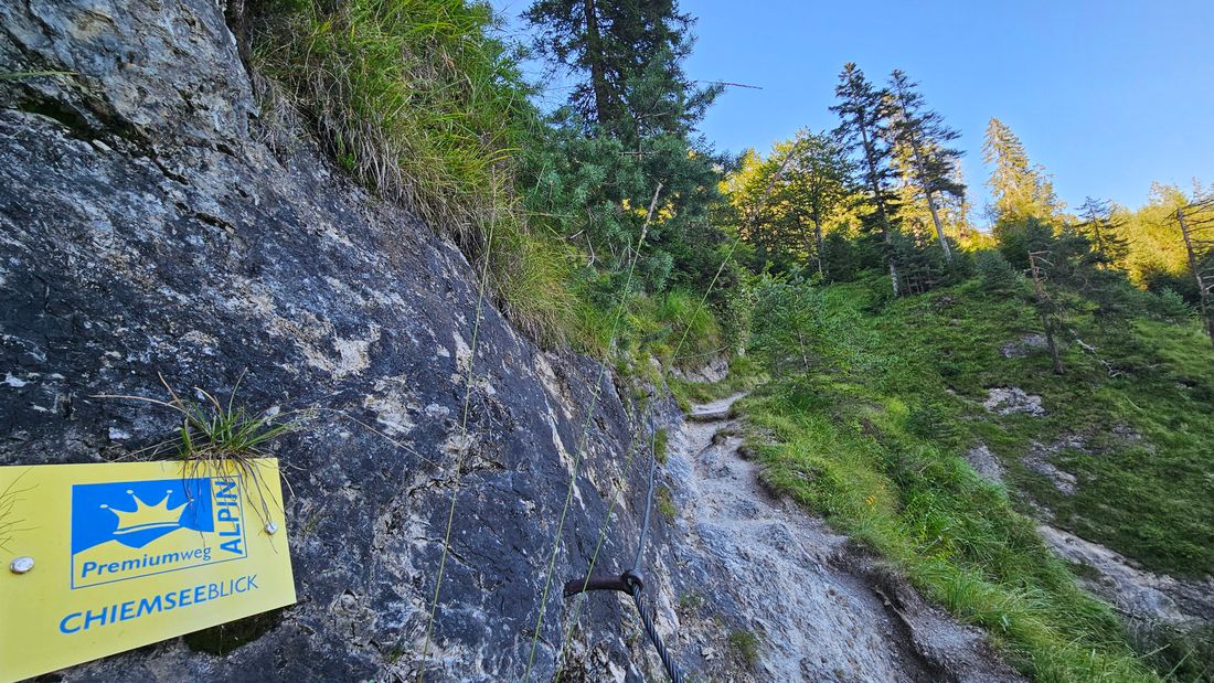
Premium hiking trail - Chiemseeblick alpin
hiking tour- Starting point Festsaal
- Location Reit im Winkl
- distance 12.4 kilometres
- duration 06:00 hours
- maximum altitude 1258 meters
- minimum altitude 681 meters
- altitude difference 820 ascending
- altitude difference 820 descending
Tour description:
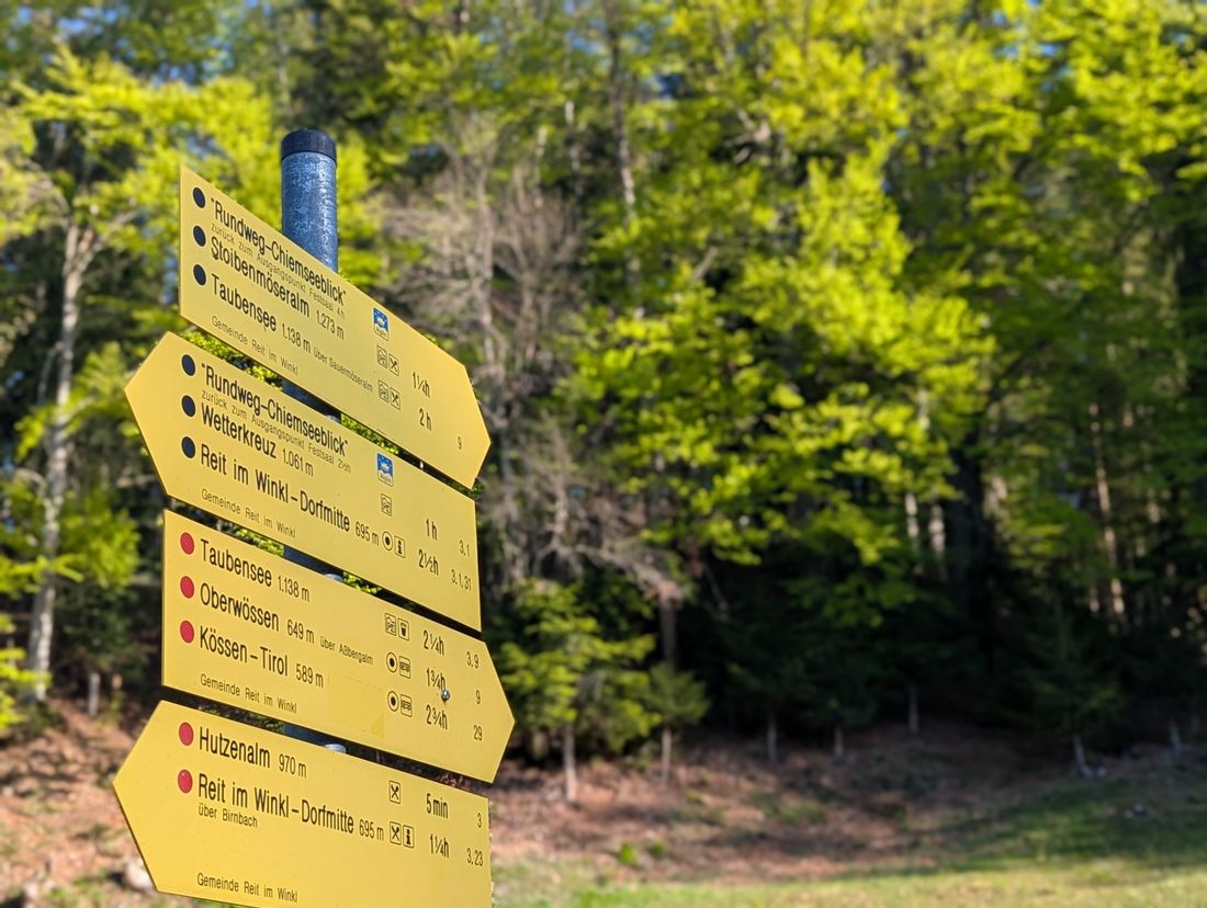
Festsaal Reit im Winkl - Glapfhof - Wetterkreuz - Hutzenalm - Stoibenmöseralm - vantage point - view "Tauernblick and Chiemseeblick" - Liebberg-Forsthütte - Wasserfallsteig - Kriegerkapelle - starting point
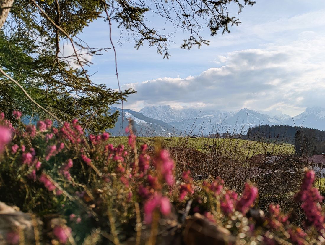
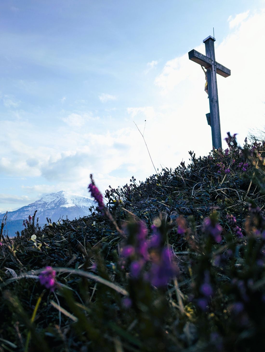
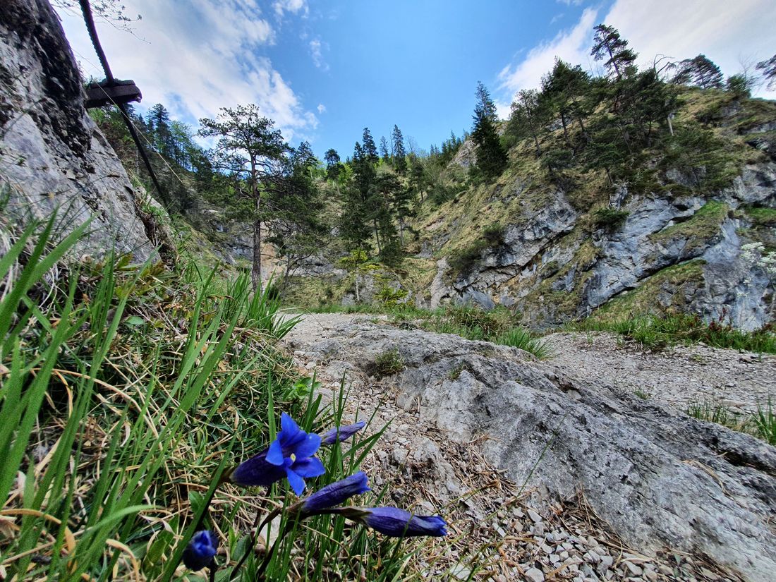
The certified premium hiking trail "Chiemseeblick"starts at the ballroom in Reit im Winkl . The hiker follows the asphalted roads for a short distance to turn past the Glapfhof into the exciting Wetterkreuzweg (No. 31). The path meanders along a small streamin tightly winding serpentines . In some insured passages, the route continues towards the Wetterkreuz . With a view of Kaiser, Steinberge and Hohe Tauern , it is one of the most beautiful viewpoints that Reit im Winkl has to offer.
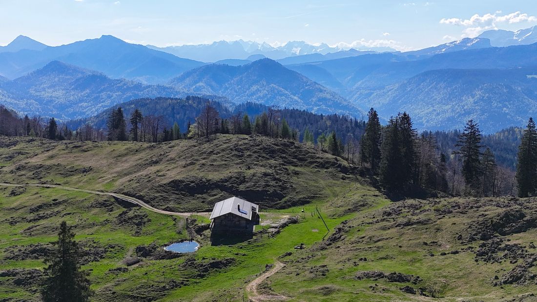
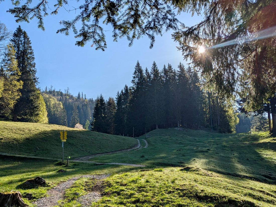
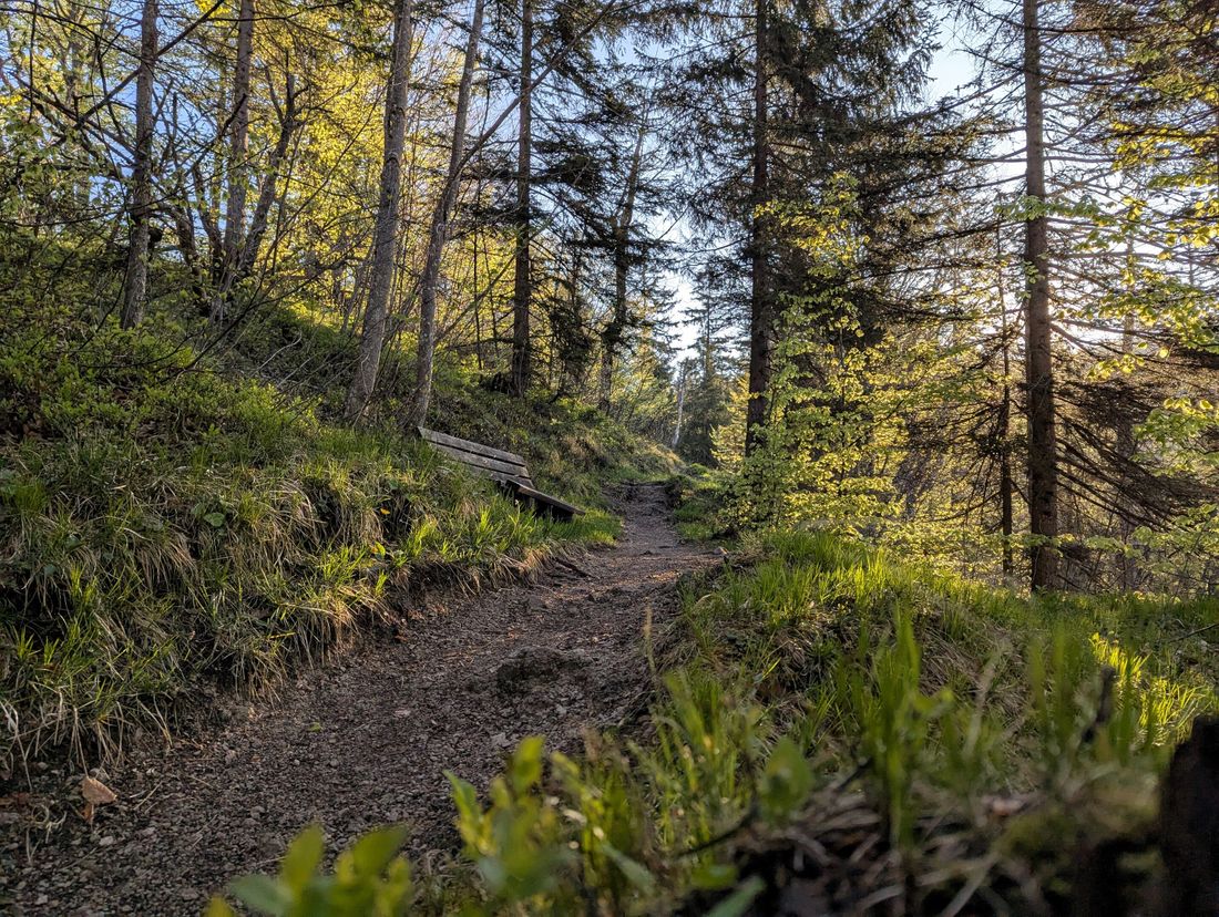
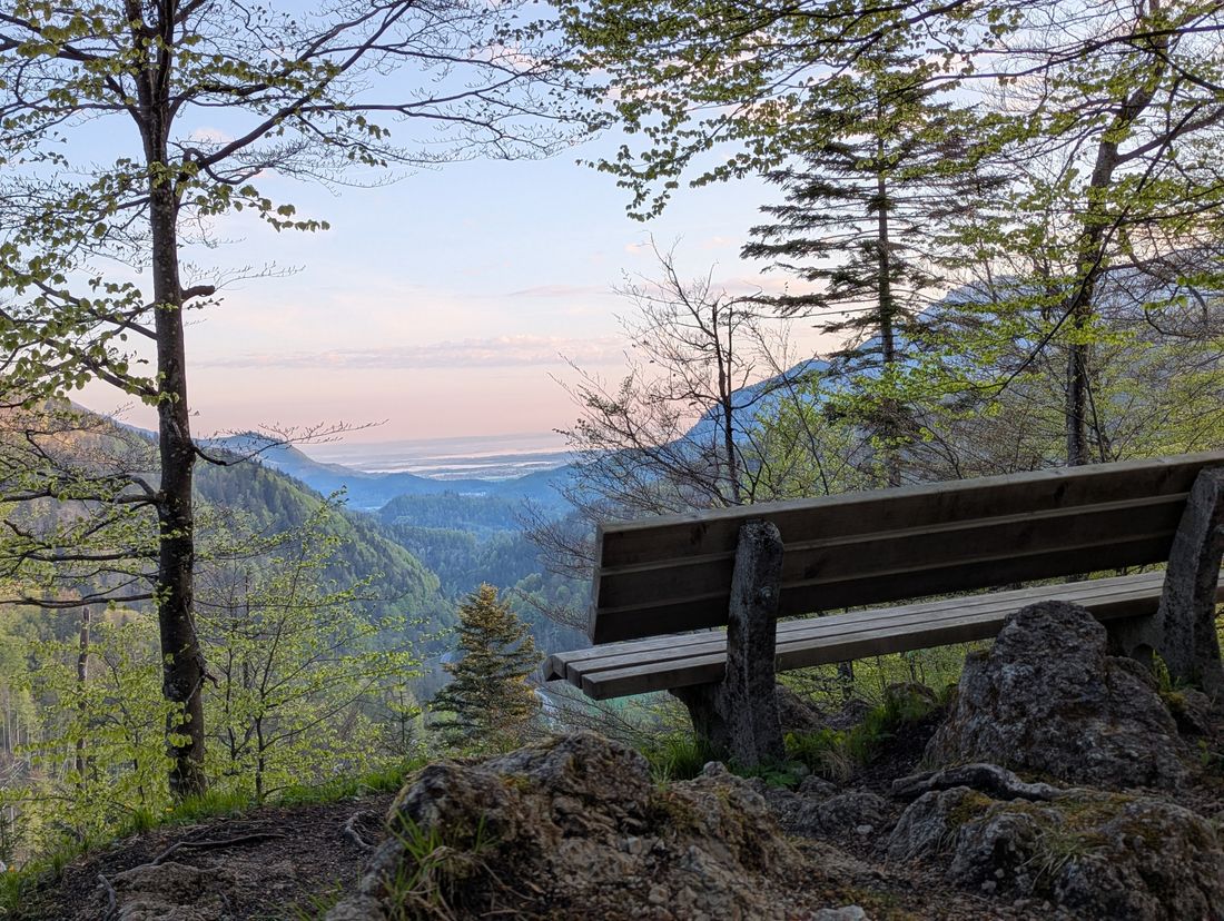
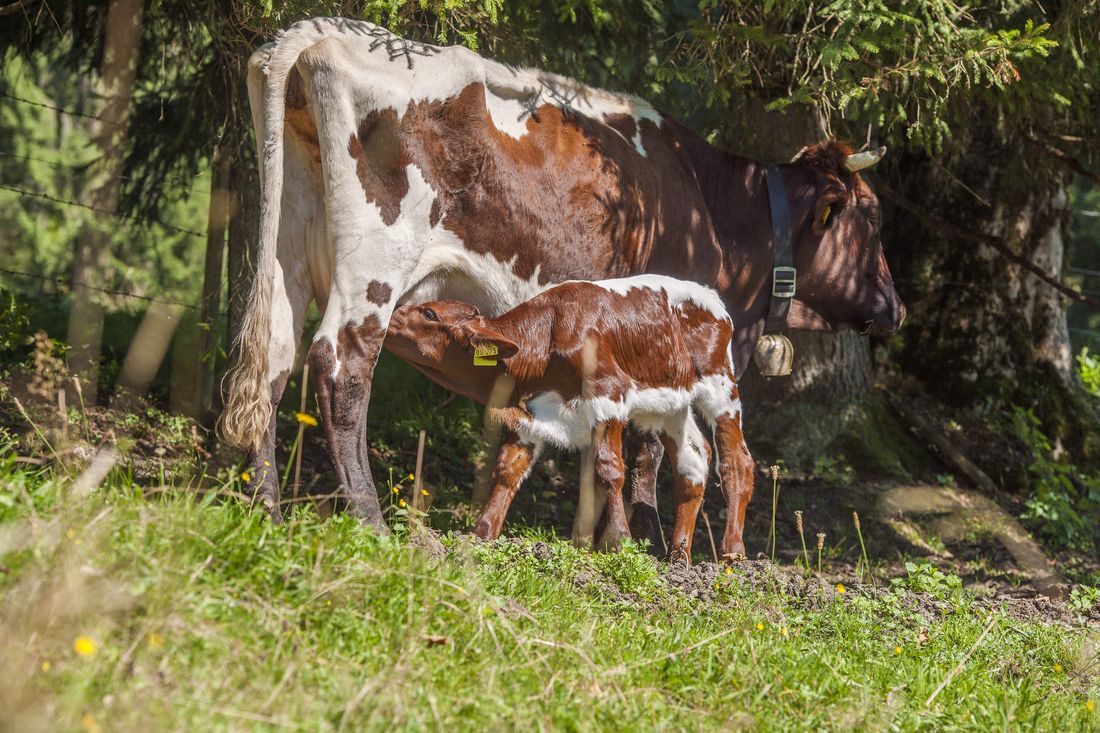
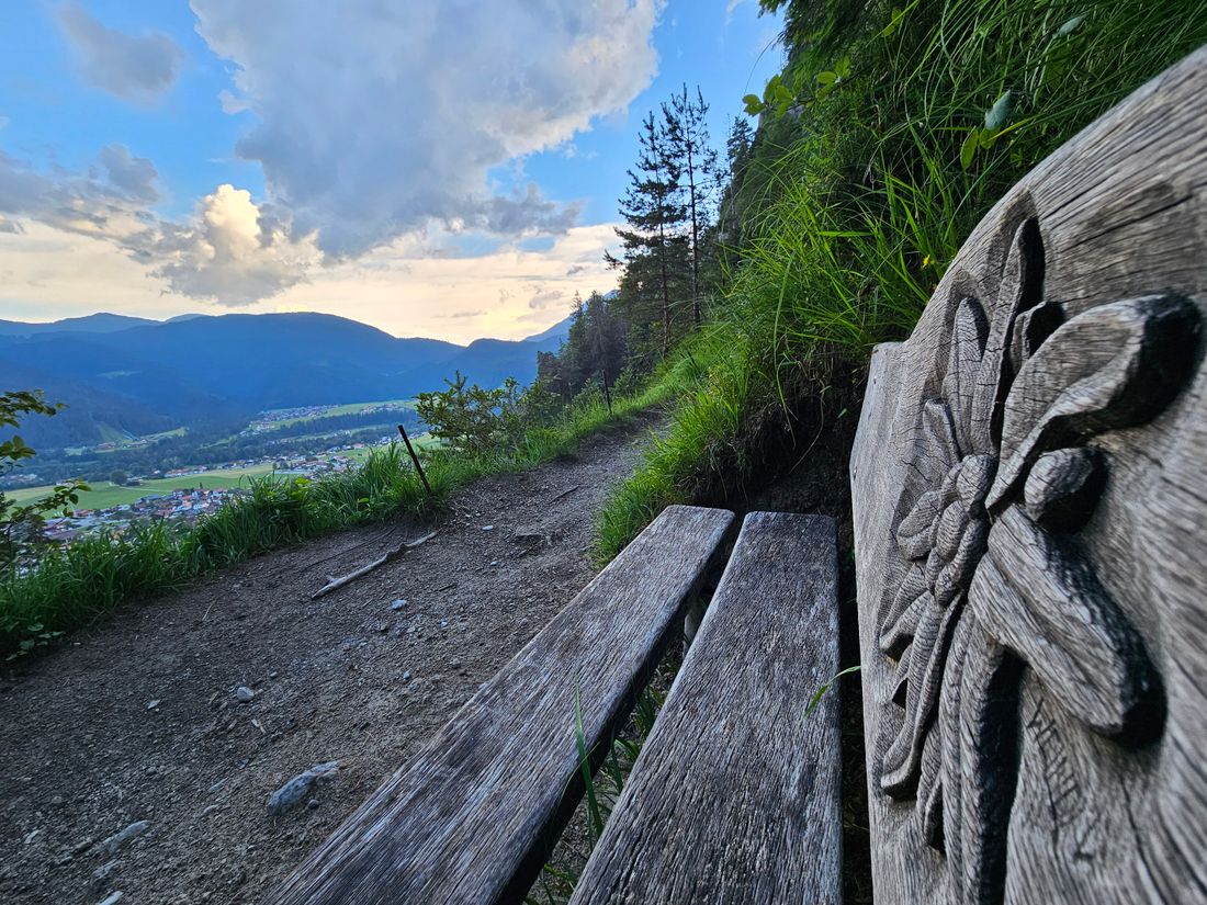
First it goes back over steps and then left on a leisurely forest hiking path . This later leads off to the left, idyllically along a stream and to the Hutzenalm . Here you will find the best cheese dumplings and the best Kaiserschmarren far and wide. The "Chiemseeblick" leads on an alpine road to a path that turns left. Across the forest and a meadow, you tackle a steep section of path, the "old path". This ends on the area of the Stoibenmöseralm . You can’t get enough of the sensational view that is offered above all on a hilltop to the right above the Alm. There is an excellent vantage point with wooden benches. Down on the Alm there are typical alpine snacks.
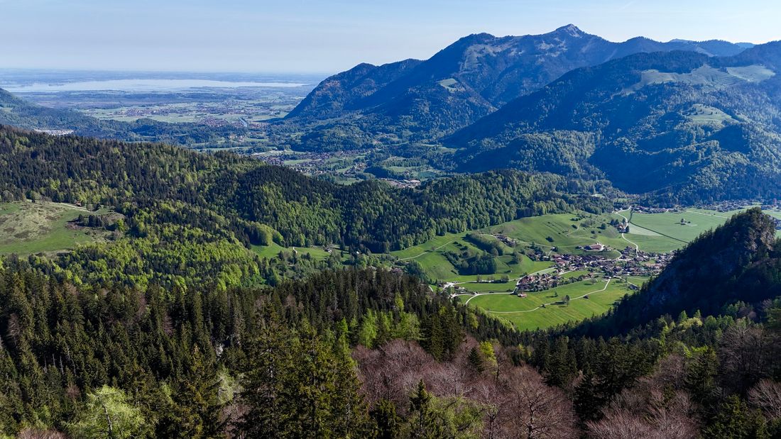
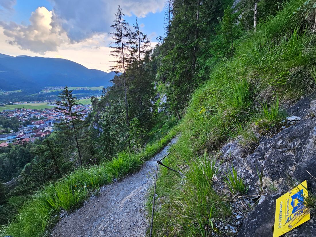
After this stop, the path leads behind the Alm to the next destination, the "Tauern- und Chiemseeblick" viewpoint , which offers great views. The descent from there goes over a steep, but well-paved alpine path. Above the Hutzen-Alm, whose alpine pastures can now be reached again, turn left to the idyllic Liebberg-Forsthütte and the Glapfalm . About 25 minutes after the Glapfalm , the path branches off to the right onto a path towards Hausbachfall . With a view of Reit im Winkl and the Steinplatte, the alpine path, which is secured with wire ropes, runs down steps and stairs,some of which are carved into rock, through the gorge.
The warrior chapel is enthroned at the end of the gorge. From there it goes back to the starting point.
Recommended months for this tour
- January
- February
- March
- April
- May
- June
- July
- August
- September
- October
- November
- December
Tips for this tour
A detour to Lake Taubensee, called "The eye of the Chiemgau".
Downloads
- Tour as a PDF file (PDF)
- Tour as a GPX file (GPX)
- Tour as a KML file (KML)
Arrival by car
Coming from Munich or Salzburg on the Munich - Salzburg motorway (A8 to Grabenstätt exit no. 109), continue in the direction of Marquartstein and on the well-developed German Alpine Road (B 305) to Reit im Winkl. Parking spaces: -Dorfstr. 38 at the Tourist - Info, 83242 Reit im Winkl, -Tirolerstraße 37 am Festsaal, 83242 Reit im Winkl.
Coming from Munich or Innsbruck on the Rosenheim - Innsbruck motorway (A93) to Oberaudorf (exit 59). On to Walchsee, Kössen and Reit im Winkl. Parking spaces: -Tirolerstraße 37 am Festsaal, 83242 Reit im Winkl, -Tourist - Info Dorfstraße 38, 83242 Reit im Winkl.
Arrival by public transport
Connections to Reit im Winkl from Prien am Chimesee train station (best bus connection!). With the RVO bus, line 9505.
Bus stop directly at the tourist information office.
Connections to Reit im Winkl from Ruhpolding train station with the RVO line 9506. Bus stop directly at the tourist information office.
