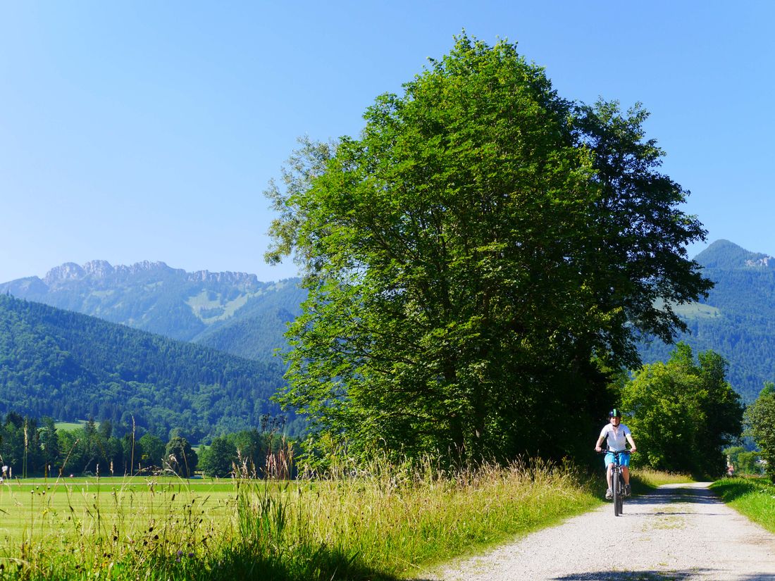
Experience the unique landscape around Tittmoning on this easy and family-friendly bike tour along streams and bodies of water.
Wasser-Runde
Cycling tour- Starting point Tittmoning
- Location Tittmoning
- distance 26.0 kilometres
- duration 01:45 hours
- maximum altitude 521 meters
- minimum altitude 384 meters
- altitude difference 229 ascending
- altitude difference 294 descending
Tour description:
Tittmoning - Leitgering - Asten - Oberried - Kraham - Zaiselham - Bergham - Lanzing - Kay - Kirchheim
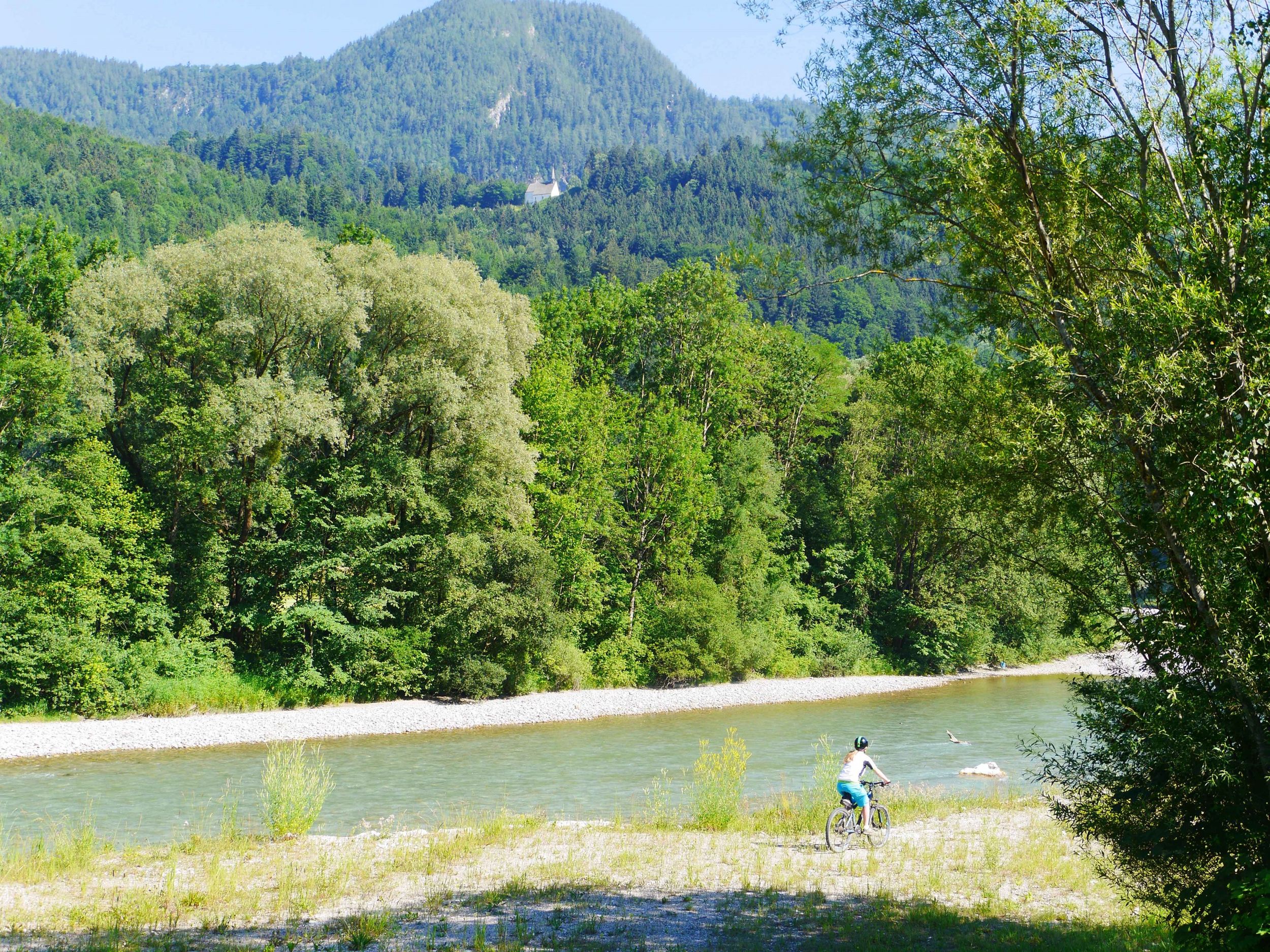
The water circuit leads along various streams , lakes and chapels around the historic old town with its castle complex.
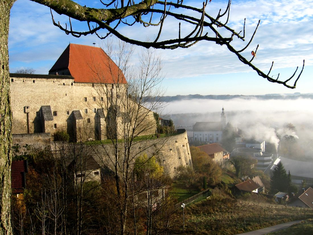
Beginning in the Salzach town of Tittmoning, the path leads past the castle through the residential area "Hüttenthaler Feld" in the direction of Diepling. Before you drive to the Hüttenthaler Feld, a short detour to the castle, which houses the Rupertiwinkel Museum and the Tannery Museum , and a visit to the Maria Brunn zu Ponlach pilgrimage chapel is a good idea.
From Diepling, the path continues around the Leitgeringer See to the Leitgering settlement of the same name. From there it goes to Asten, which lies on an ice age terminal moraine . The beer garden of the local DorfWirtschaft invites you to take a break.
Freshly strengthened, we continue in the direction of Tyrlaching. Shortly after Oberried, after a short intermezzo, you separate from the main road and drive south via Kraham and Zaiselham.
The circular tour leads from the village of Bergham in the direction of Ollerding. A pond invites you to dangle your feet in the water. It continues via Lanzing to Mühlham.
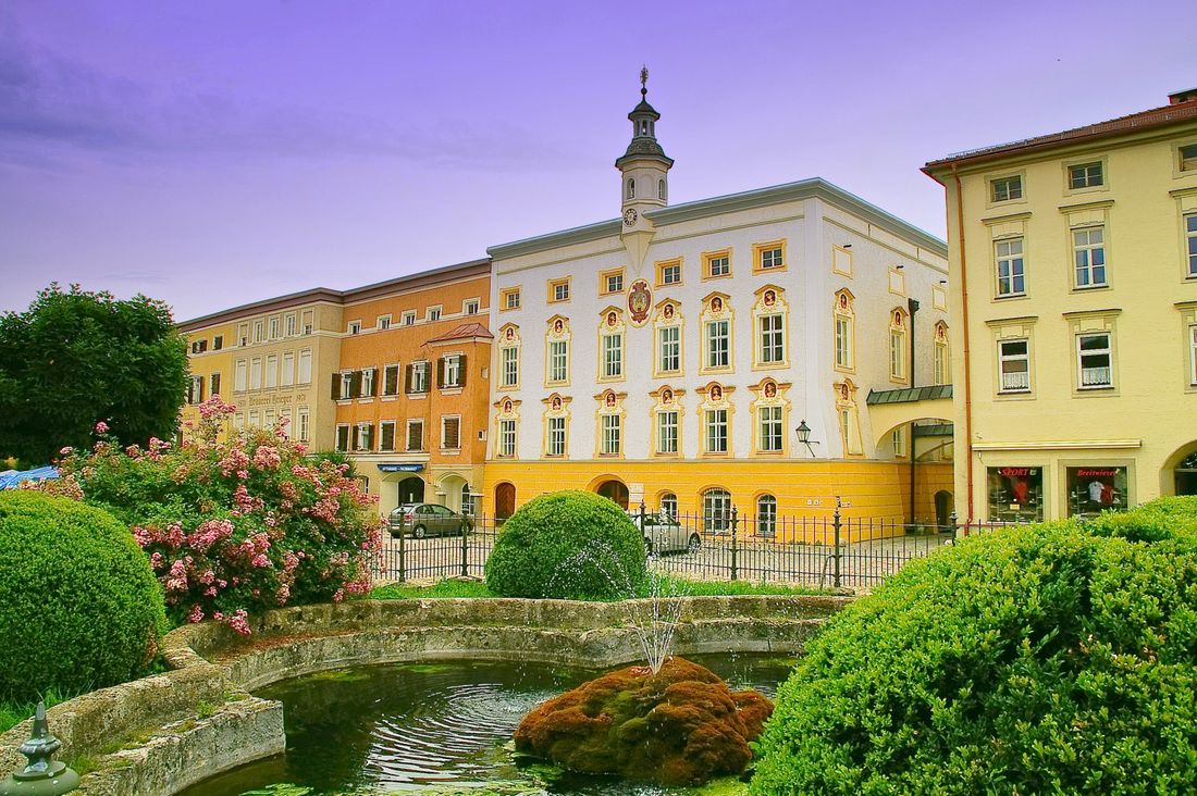
After the last rest you start the final sprint. The tour ends again at the town square in Tittmoning via Kay and Kirchheim. Here you can finally stroll along the town square in the Inn-Salzach architectural style and end the day with beer and snacks in the brewery inn.
Recommended months for this tour
- January
- February
- March
- April
- May
- June
- July
- August
- September
- October
- November
- December
Downloads
- Tour as a PDF file (PDF)
- Tour as a GPX file (GPX)
- Tour as a KML file (KML)
Huts along the tour
Burg Tittmoning
Tittmoning Castle, which towers high above the old town, can be seen from afar. Here you can find local finds and handicrafts...
Learn more