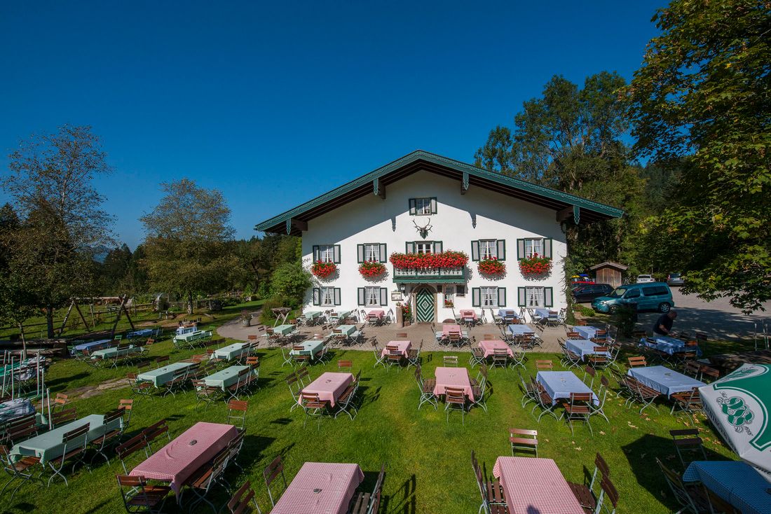
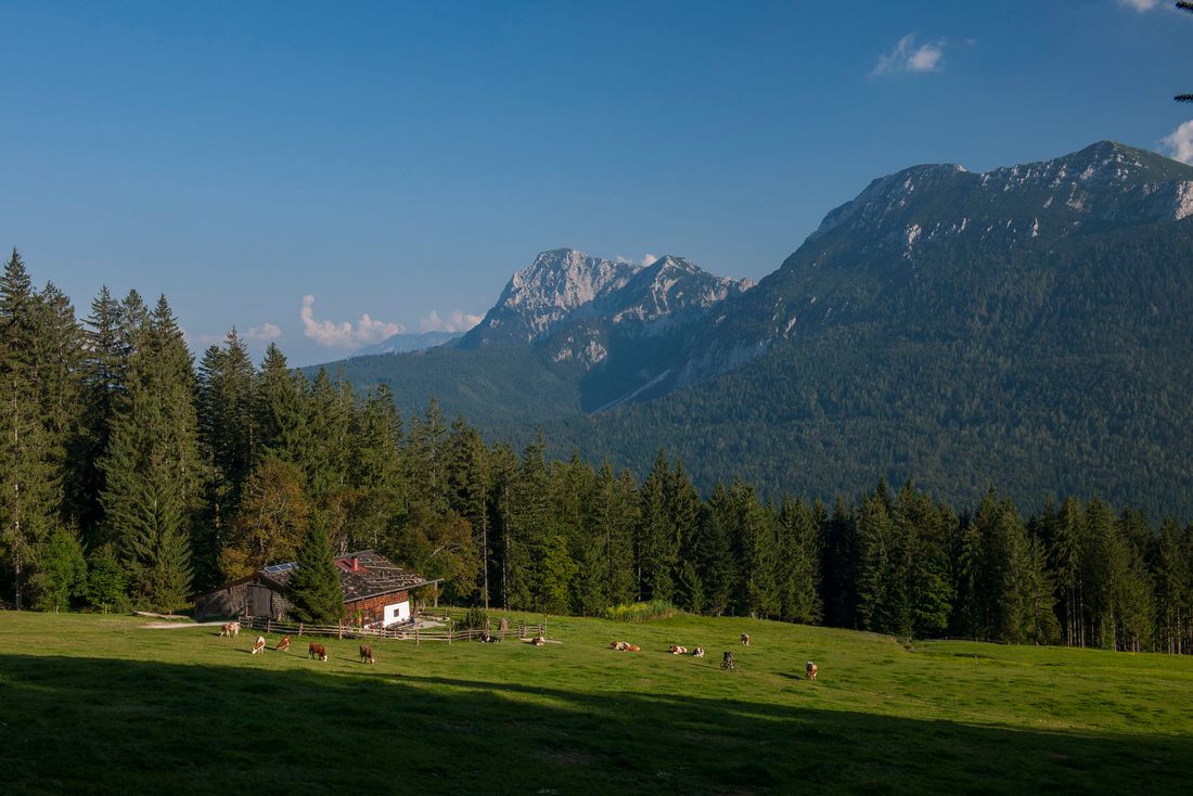
Easy family hike from the Adlgass district of Inzell to a nice stop at the Bäckeralm on the southern slopes of the Teisenberg.
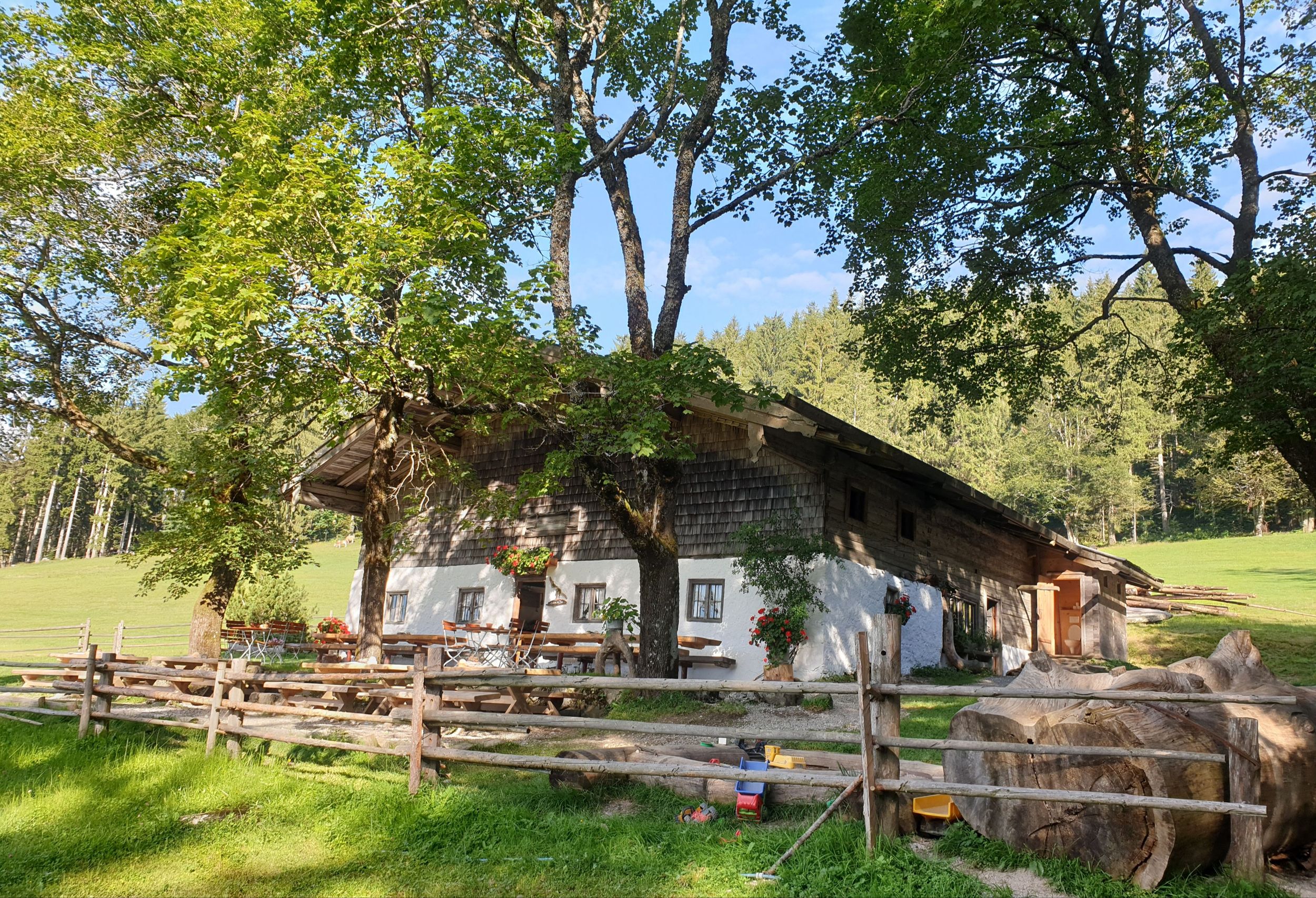
Bäckeralm Rundweg - Almwanderung
hiking tour- Starting point nobility
- Location incell
- distance 7.0 kilometres
- duration 02:30 hours
- maximum altitude 1085 meters
- minimum altitude 789 meters
- altitude difference 375 ascending
- altitude difference 375 descending
Tour description:
Forsthaus Adlgass - Bäckeralm
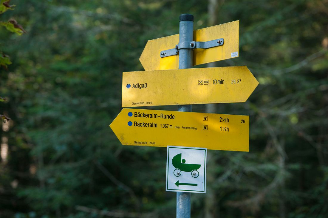
The hike begins at the hiking car park at the Forsthaus Adlgaß . From now on you can simply follow the signs "Bäckeralmrunde" (path no. 26). The signposts take you back about 300 meters along the road until two small buildings appear on the right. Here you turn right and follow the path to a wood storage area .
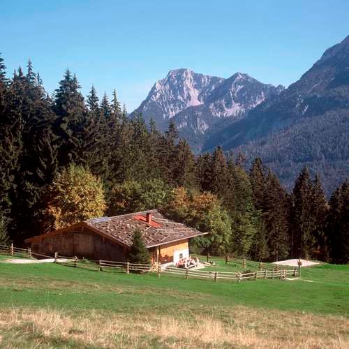
Shortly thereafter, the path becomes more idyllic and natural , which leads slightly uphill to a forest hut . Below is a large alpine meadow on which the Bäckeralm can already be seen.
After a restful break, you continue to follow the narrow path to a forest road . Here you go slightly downhill until you reach a viewpoint . From here you can take in the whole Inzell valley !
If you continue to follow the forest road in the direction of Adlgaß, which leads over the Pommernberg, you will be back at the hiking car park after about an hour.
Recommended months for this tour
- January
- February
- March
- April
- May
- June
- July
- August
- September
- October
- November
- December
Downloads
- Tour as a PDF file (PDF)
- Tour as a GPX file (GPX)
- Tour as a KML file (KML)
