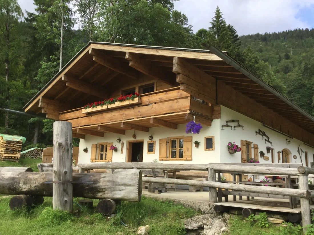
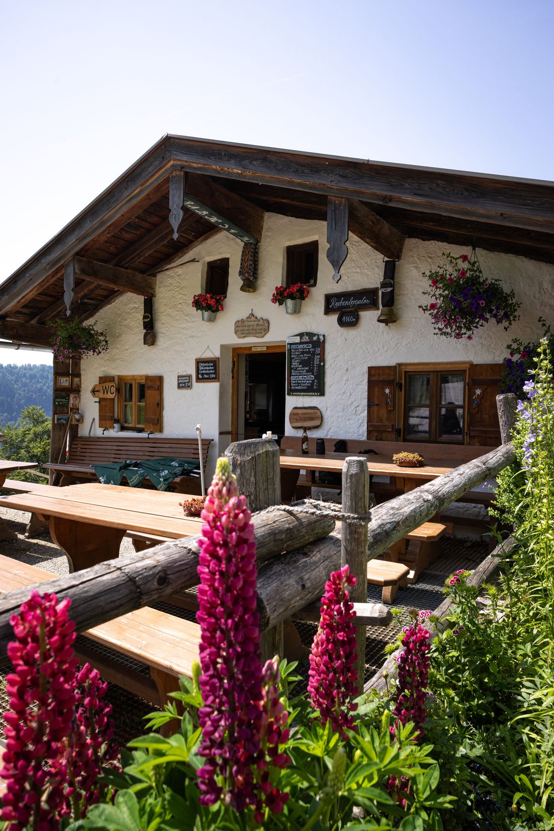
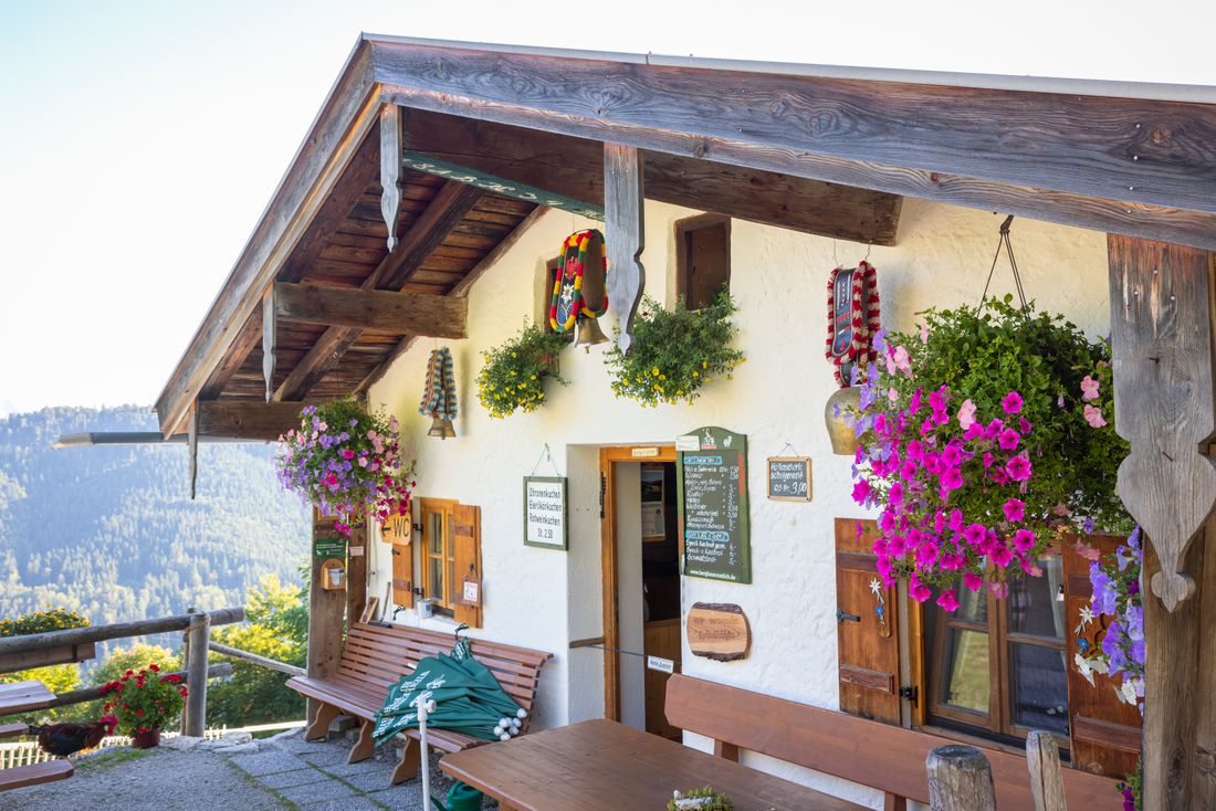
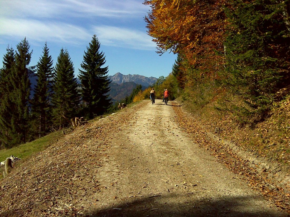
Alm hike that offers regional delicacies and wonderful views on the Rechenbergalm. In between there is a possibility to stop at the Feldlahnalm.
Rechenbergalm via Feldlahnalm - alpine pasture hike
hiking tour- Starting point Oberwössen - hiking car park at Hammerergraben
- Location underwear
- distance 10.7 kilometres
- duration 04:45 hours
- maximum altitude 1168 meters
- minimum altitude 667 meters
- altitude difference 631 ascending
- altitude difference 631 descending
Tour description:
Hammergraben hikers’ car park – Feldlahnalm – Burgaualm – Rechenbergalm – Burgaualm – Hammergraben hikers’ car park
From the hiking car park in Oberwössen you can follow the signs " Feldlahnalm via Hammerergraben " (path no. 75). Always along the Hammerer Bach, you have to cross a forest road after a short time and then follow a somewhat narrower path up to the Feldlahnalm . If you are already hungry or thirsty, you can take a break here.
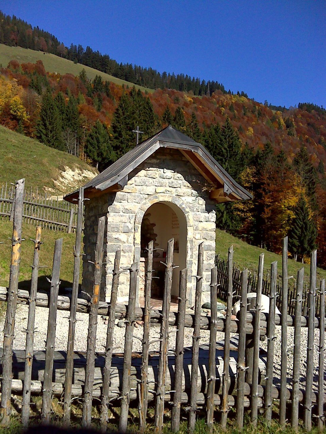
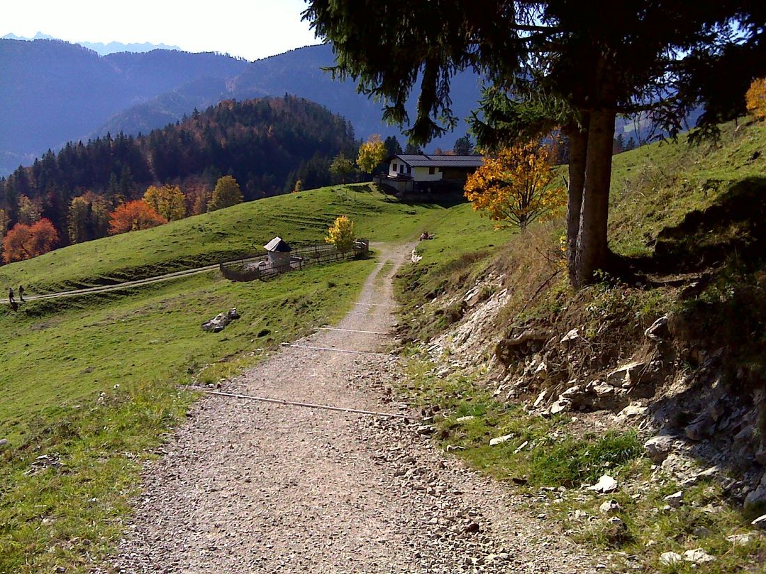
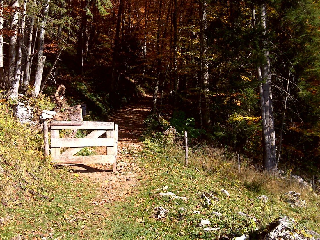
We continue on a small path that leads below the alp to another forest road. After turning left, the path climbs a little, but later falls down again. You follow the path until just before the Burgau-Almen (path no. 77), from where you hike right over the alpine meadows back into the forest (path no. 7). After a short time, a steadily rising forest road starts again, which you turn right and follow to the Rechenbergalm .
The way back is the same as the ascent to the Burgaualmen . From there you go right and then along hiking trail no. 7 until you reach the starting point again.
Recommended months for this tour
- January
- February
- March
- April
- May
- June
- July
- August
- September
- October
- November
- December
Downloads
- Tour as a PDF file (PDF)
- Tour as a KML file (KML)
- Tour as a GPX file (GPX)
