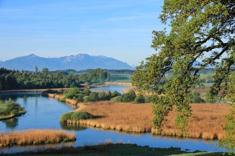
Hike through the three towns of Seebruck, Seeon and Truchtlaching. 04:22 h. Seebruck.


Hike through the three towns of Seebruck, Seeon and Truchtlaching. 04:22 h. Seebruck.
Tour description:
The starting point of this beautiful hike is the Tourist Info in Seebruck . From here you follow the cycle and hiking trail via Pullach, Ischl and Baderpoint to Seeon . The path leads through Seeon and then turns towards Truchtlaching . At the sports field, we follow the signs for "Klosterweg" until we cross the Alz at the lido in Truchtlaching . The signage continues via the “Archaeological Circular Path” . Via the Hochöder you come to Stöffling and finally back to Seebruck .