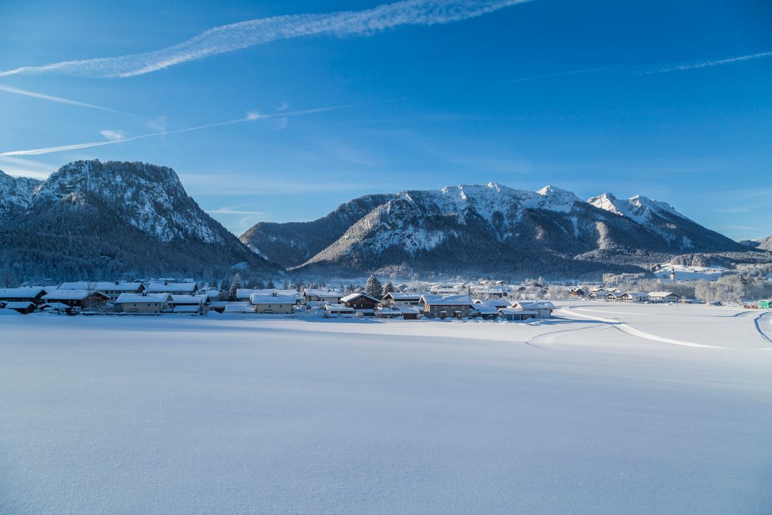
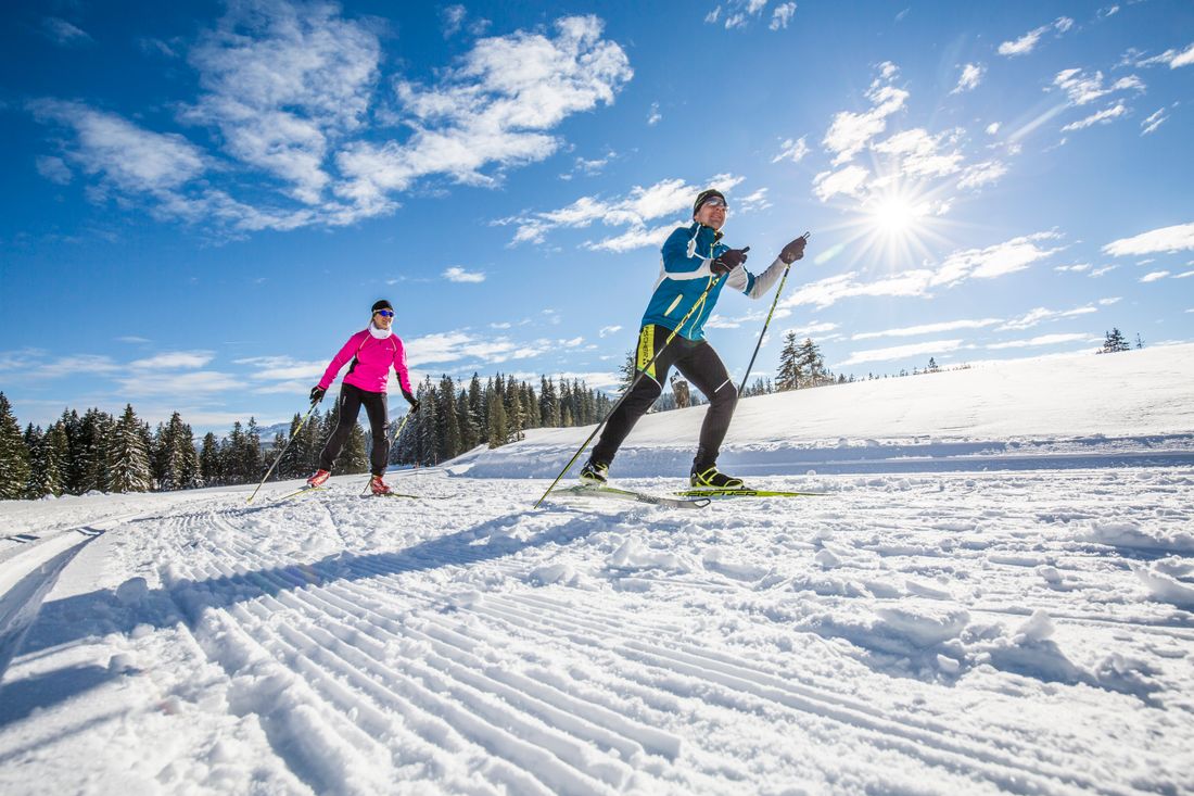
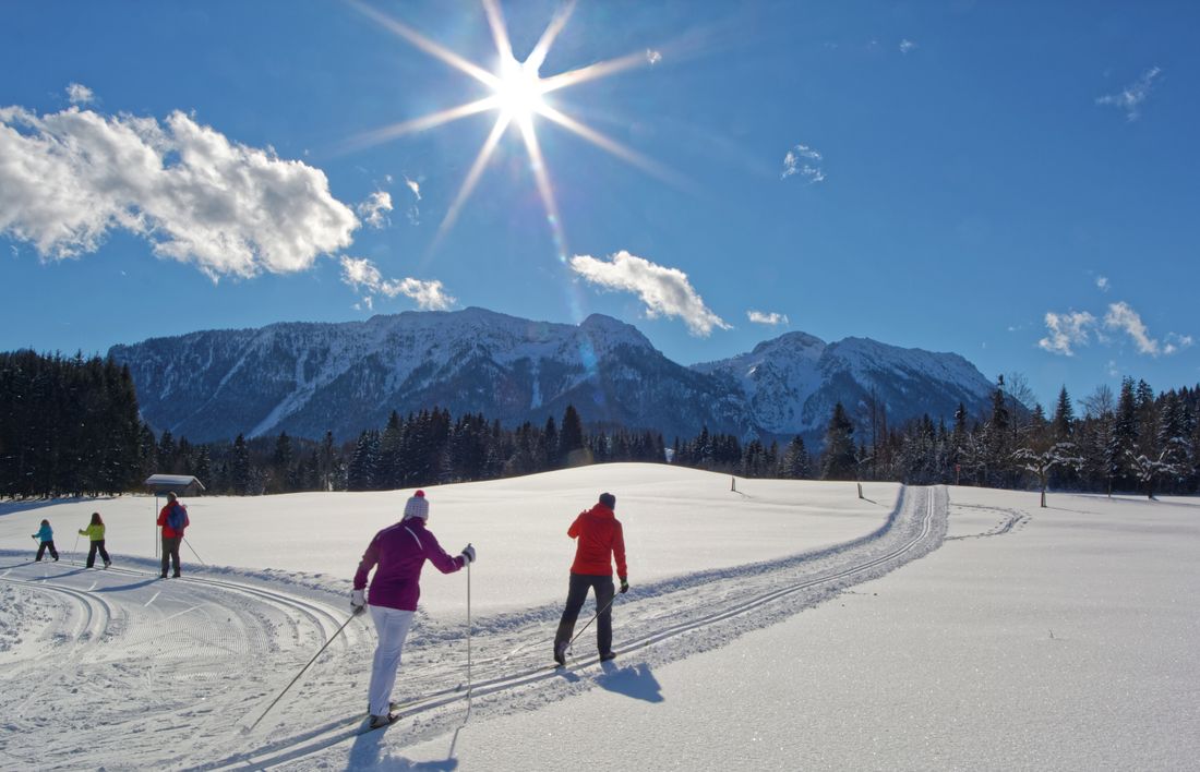
After a little effort, the moderately difficult circular trail offers wonderful views over the whole of Inzell and the Chiemgau Alps.

Inzell Unterlandloipe
Cross-country skiing- Condition not groomed
- Starting point Alpina holiday park
- Location incell
- distance 4.3 kilometres
- duration 00:45 hours
- maximum altitude 739 meters
- minimum altitude 684 meters
- altitude difference 61 ascending
- altitude difference 61 descending
Tour description:
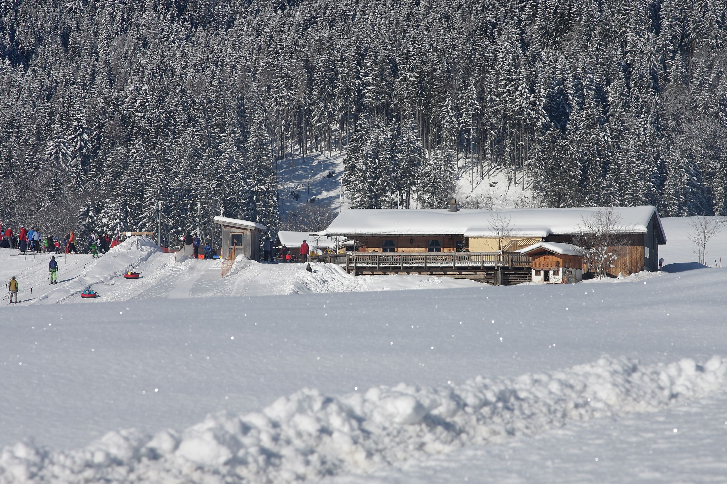
You start comfortably along the Inzeller Filzen. The 4.3-kilometre-long Unterlandloipe initially runs without any inclines, so you can warm up first. You walk north a bit along the Rote Traun to the first climb. It goes up to the district of Wald. The route continues uphill across snow-covered meadows and fields. It's not for nothing that the trail is marked as moderate. At the junction towards Ruhpolding you have reached the highest point of the trail. Enjoy the view and the tranquility up here for a moment. At your feet stretches the snowy winter landscape around Inzell and a wonderful Alpine panorama. While you are now running downhill towards the village, the marathon trail leads west and connects the towns of Inzell, Ruhpolding and Reit im Winkl over 40 kilometers. The Unterlandloipe now runs comfortably downhill past the Kessel-Alm in the direction of the starting point. Thanks to the descents and the pleasantly flat last sections, you can now end your cross-country skiing tour in peace.
Recommended months for this tour
- January
- February
- March
- April
- May
- June
- July
- August
- September
- October
- November
- December
Downloads
- Tour as a PDF file (PDF)
- Tour as a KML file (KML)
- Tour as a GPX file (GPX)
Arrival by car
Coming from Siegsdorf, turn right to the town center. Turn right again into Schmelzer Straße and after a few meters you will reach the parking lot behind the Alpina guest house.


