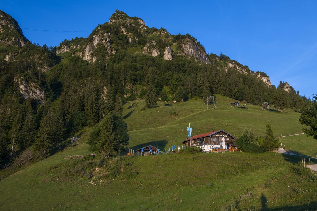
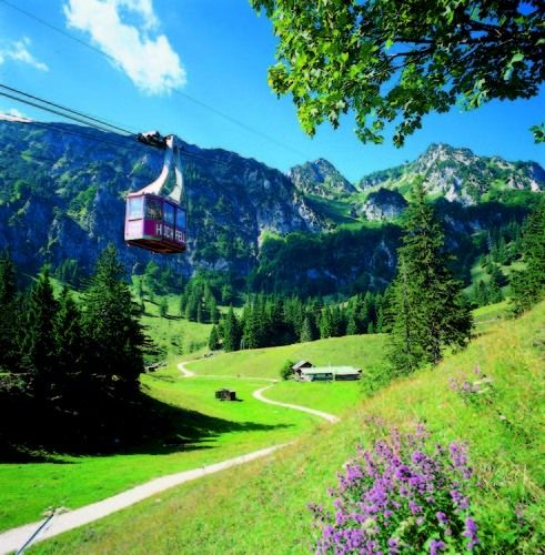
An idyllic beginner's hike in spring or an interesting family tour - this is the classic hiking trail to the Bründlingalm on the Hochfelln near Bergen.
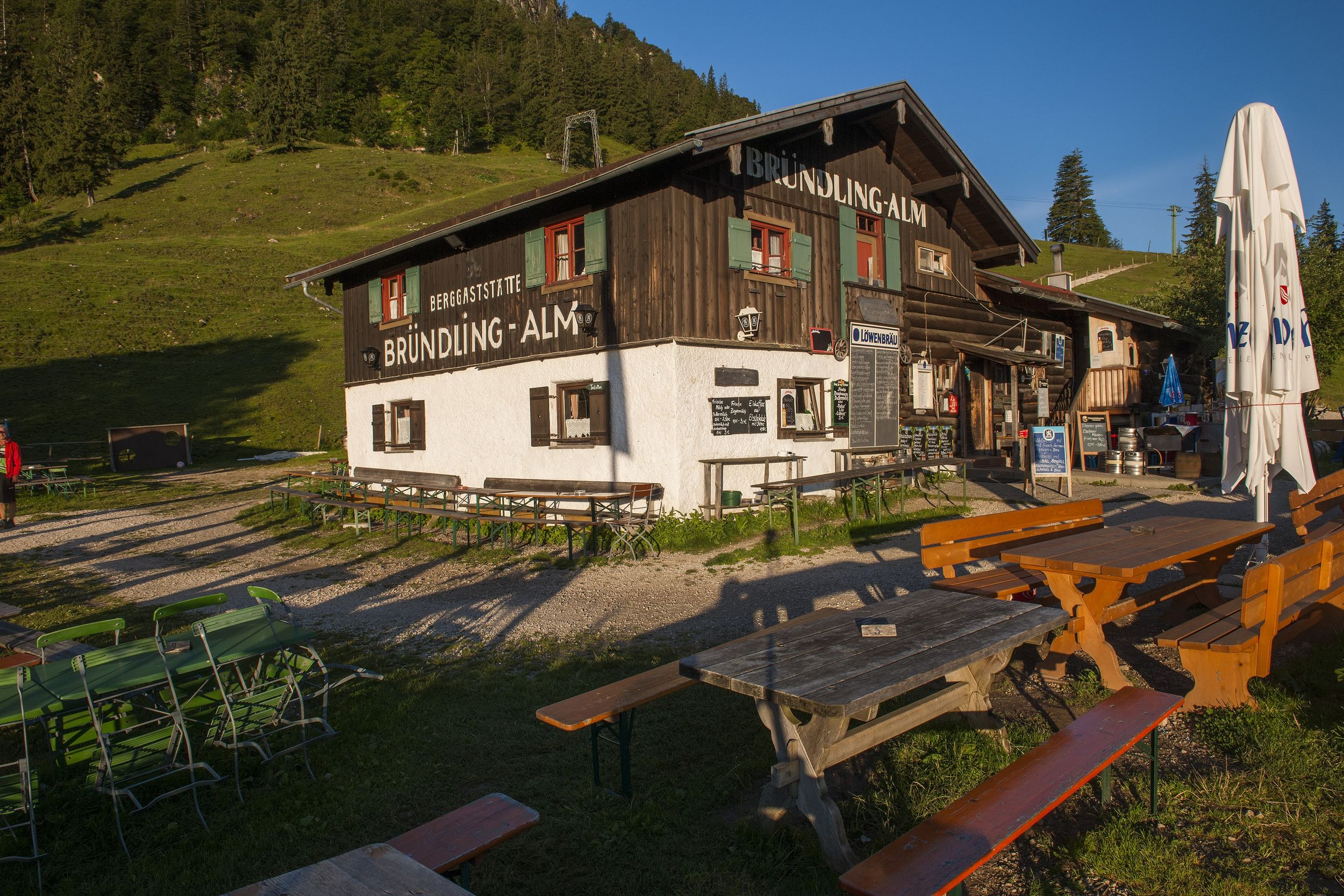
Bründlingalmen Rundweg
hiking tour- Starting point Hochfelln cable car valley station
- Location mountains
- distance 14.2 kilometres
- duration 07:00 hours
- maximum altitude 1177 meters
- minimum altitude 586 meters
- altitude difference 975 ascending
- altitude difference 738 descending
Tour description:
Hochfelln valley station - Museum Maxhütte - hiker's car park Kalkofen - Hochfellnweg - Schwarze Ache - middle station - Bründlingalm
The hike to the Bründligalm starts at the parking lot of the Hochfelln valley station . (Alternative: Kalkofen hiking car park in Einfang, approx. one kilometer shorter). The classic and most popular hike first leads along the narrow Maxhüttenstraße along the Weißen Achen. Here you can also find the Maxhütte Museum , which provides information about the Bergen Ironworks.
Shortly before the Pulvergraben , the wide hiking trail no. 8 leads to the left (at the hiking car park ), the " Hochfelln way ", into the forest and, moderately ascending towards the Hochfelln middle station, uphill . Next to the path, which leads through a sparse mixed forest, the black Ache flows in its bed and creates an idyllic and wildly romantic atmosphere with its soft, sometimes louder rippling .
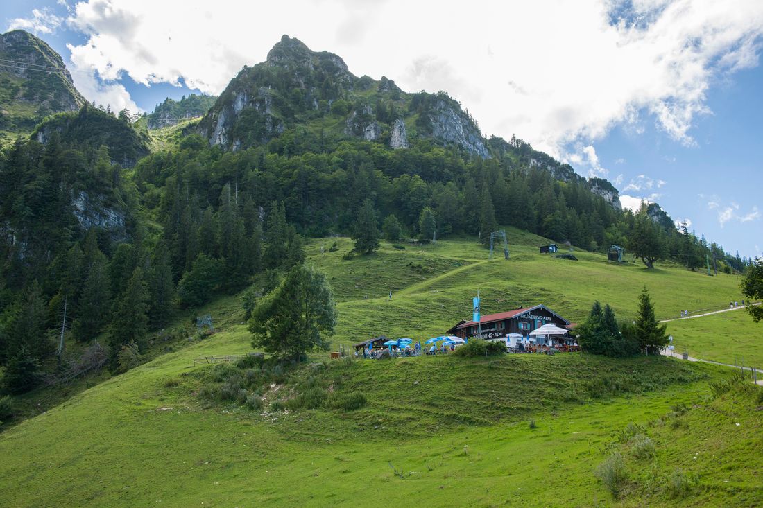
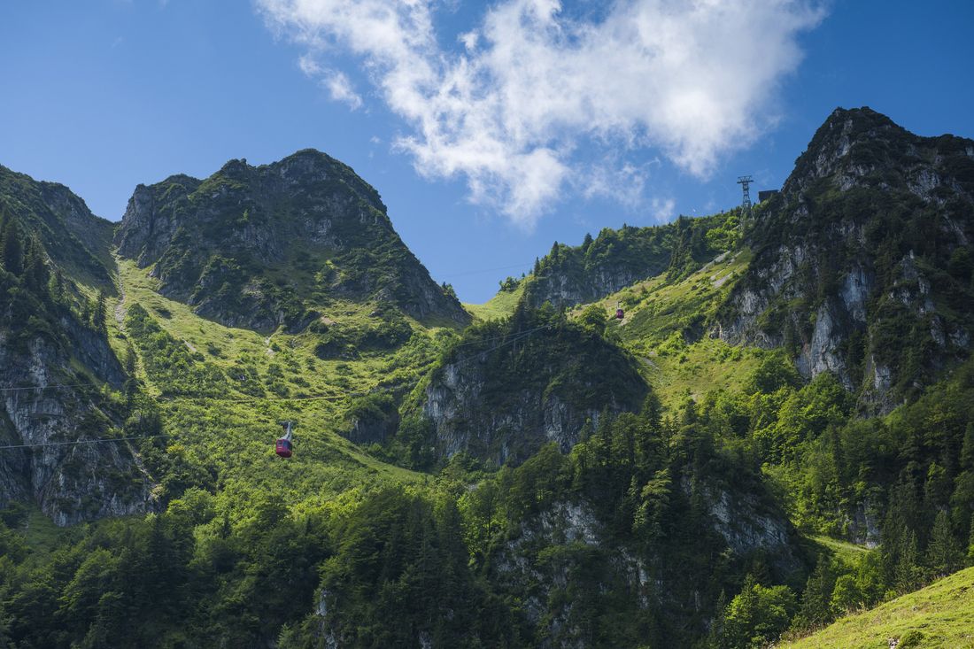
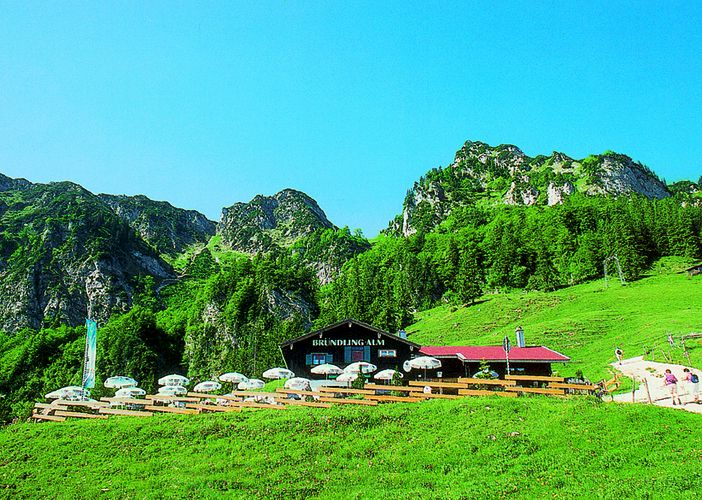
If you don't want to hike the whole time along the wide path, you can take a well-worn shortcut on a narrow path in the upper part of the hike, which leads back to the "normal" Almenweg to the Bründlingalm at the height of the middle station. The normal route leads past the middle station and under the cable car . There are several farmed Kaser on the Alm area, the last one on the right is the oldest, the Bründlingalm .
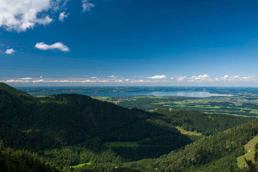
From the Alm area you have a unique view of theHochfelln mountain range
Recommended months for this tour
- January
- February
- March
- April
- May
- June
- July
- August
- September
- October
- November
- December
Downloads
- Tour as a PDF file (PDF)
- Tour as a KML file (KML)
- Tour as a GPX file (GPX)
