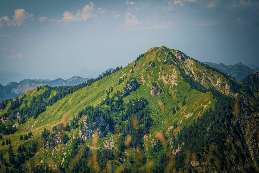
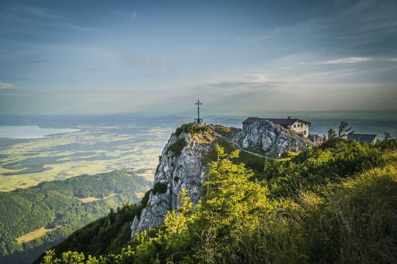
The name says it all: The Hochfelln is the “viewing terrace” of the Chiemgau. The view at the imposing summit cross is phenomenal, as is the snack, and then there is the Tabor Kircherl and a geology educational trail to marvel at.
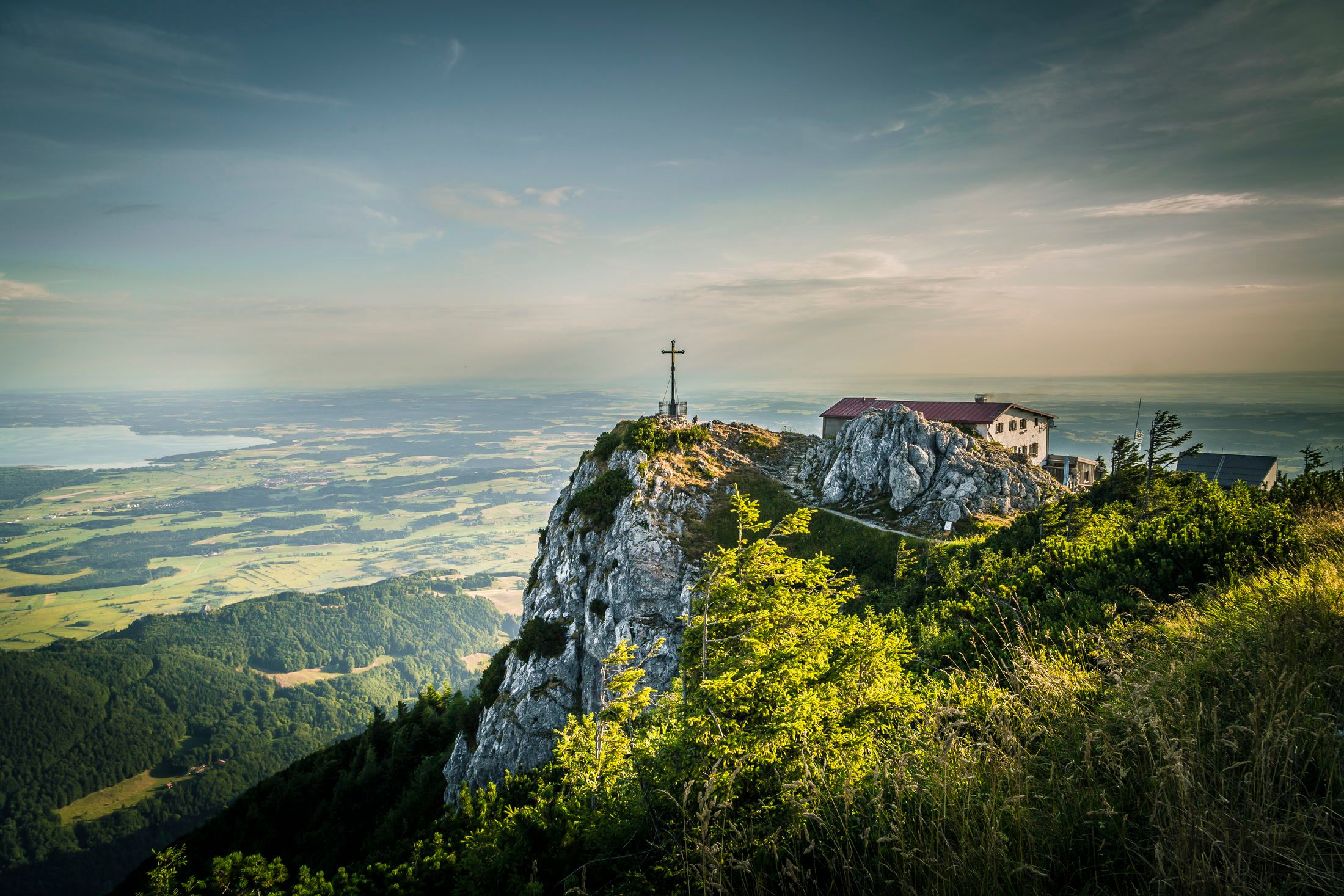
Hochfelln summit hike
hiking tour- Starting point Hochfelln cable car valley station
- Location Bergen
- distance 8.9 kilometres
- duration 03:45 hours
- maximum altitude 1674 meters
- minimum altitude 584 meters
- altitude difference 1100 ascending
- altitude difference 78 descending
Tour description:
Hochfelln valley station - Maxhütte museum - Kalkofen hiking car park - Hochfellnweg - Schwarze Ache - middle station - Bründlingalm - view towards Chiemsee - Tröpflwand - Hochfelln
The Hochfelln hike starts at the parking lot of the Hochfelln valley station . (Variant: Kalkofen hiking car park in Einfang, approx. One kilometer shorter). The hike first leads along the narrow Maxhüttenstraße along the Weißen Achen . The Maxhütte Museum , which provides information about the Bergenironworks, can also be found here. Shortly before the Pulvergraben, the wide hiking trail no. 8, the “ Hochfellnweg ”, leads to the left (at the hiking car park ) into the forest and, rising moderately towards the Hochfelln Mittelstation, uphill.
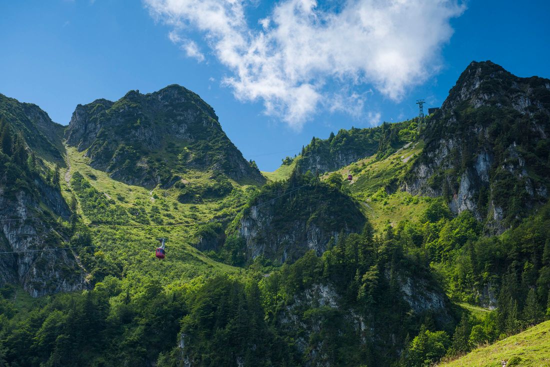
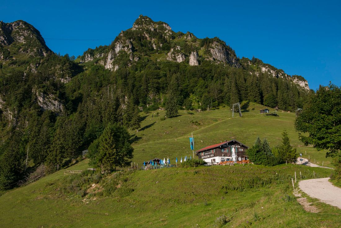
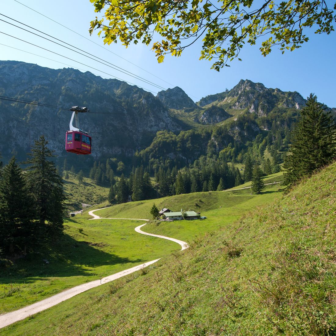
Next to the path that leads through light mixed forest, the black Ache flows in its bed and creates an idyllic and wildly romantic atmospherewith its soft, sometimes louder splashing . If you don't want to hike there all the time on the wide path, you can take a well-trodden shortcut on a narrow path in the upper part of the hike, which leads back to the "normal" Almenweg to the Bründlingalm at the middle station. The normal route leads past the middle station and under a cable car. On the alpine pastures the Bachschmiedkaser and Öderkaser pass to the Bründlingalm . From this alpine area, which is about halfway to the Hochfelln , you have a unique view of the Hochfelln massif.
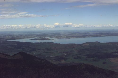
The hiking trail leads past the Bründlingalm . To the right across a pasture, a little after the Bründlingalm, you will see a narrow footpath that leads under a barbed wire fence to an elevated, wonderful view of the Chiemsee .
The path continues uphill in a large left bend. Then the forest path becomes narrower and leads a short section steeply uphill, partly over steps. We follow this well-trodden path, which becomes wider again over time, to the so-called Tröpflwand and further on stony, extensive serpentines . It goes past the hut of theBergen Ski Club and under the cable car . On the right hand side, we pass through a cross in the terrain that looks like a rock gateonto the sunny, eastern slope of the Hochfelln , which is a very popular starting point for paragliders and paragliders. Hike on uphill here, partly on very rocky ground, to the summit of the Hochfelln .
Descent like ascent or with the
Recommended months for this tour
- January
- February
- March
- April
- May
- June
- July
- August
- September
- October
- November
- December
Downloads
- Tour as a PDF file (PDF)
- Tour as a GPX file (GPX)
- Tour as a KML file (KML)
